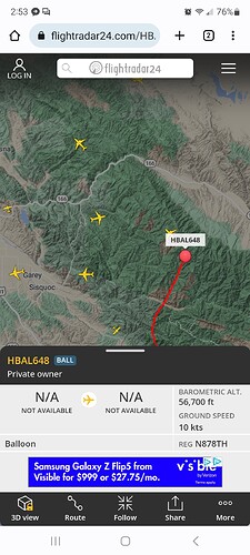
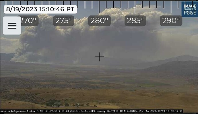
Updated acres per IC is 300-400 with potential of 2000 acres.
Yep, cant rule out nearby t-storms but they look to stay just outside that area as noted above. The switching wind directions over the next 24 hours really shout watch out for any ground resources. Full 180 degree changes multiple times…yikes. FWIW it would appear the main rain bands with Hilary will remain just east of this fire from what I’m seeing so far. So much more wind shear and turbulence in the lower boundary layer than normal under this regime with moist/unstable airmass aloft. Not a business as usual fire.
I’m gonna say it’s gonna surpass the 2000 acre mark, looking at the camera and being familiar with the area it looks like its transitioned into a heavier fuel bed.
Affirm, AA states it will most likely run to the ridge. Predicted wind change towards the forest for the evening.
I have noticed those on the radar the past few, not sure where they came from.
To borrow a line from Dr Peter Venkman,
DOGS AND CATS LIVING TOGETHER
MASS HYSTERIA!

Tanker 911 off the ground MCC, looks to be headed southwest.
A post was merged into an existing topic: Hurricane Hilary - Aug ‘23
Got Valley Fever on the Perkins Fire in same area back in 06. Be extra careful and mindful boys, girls and supervisors . 30 day incubation period prior to symptoms. No fun
Tanker 911 just west of Merced en route to the plant, also tanker 912 off the ground MCC. Tanker 82 en route from sonora currently south west of Merced.
Does anybody know exactly it spotted over wasioja rd or the proximity to the structures on wasijoa rd?
Last I heard was it did spot the Rd. There will be a direct structure theat, not familiar with the area so I don’t know where the houses are
The Watch Duty App has pretty good detail on zoom for this area.
I have an idea where it spotted being there is a direct structure threat. I believe there is a ranch or property in that area with quite a bit of junk piles on the property.
Intel 12 is inbound from the north. A few minutes out.
Any idea when the wind shift may occur?

