Don’t put too much thought behind that modis hit, it’s doing what they want.
3 Likes
Big burn shows to tie in the north end at Div X and Div Y and on the south side in Div T and U, east side patrol status and trying to hold a mid slope road on the west in div W, lots of roll out to deal with
They are pretty far along with some pretty complex firing ops along the middle of the West side of the fire. There is checkerboard ownership thru this area, and lots of red slash in some of the clearcuts and thinning units the firing is passing thru. Tough ground, and a big box. There is a lot going on on this map. https://ftp.nifc.gov/public/incident_specific_data/calif_n/!2018_FEDERAL_Incidents/CA-SHF-001223_Hirz/GIS/Products/Mobile_Maps/BRANCH_I_arch_e_port_20180901_2150_Hirz_CASHF001223.pdf
Today’s IR for Google Earth:
https://ftp.nifc.gov/public/incident_specific_data/calif_n/!2018_FEDERAL_Incidents/CA-SHF-001223_Hirz/IR/20180902/20180902_Hirz_IR.kmz
4 Likes
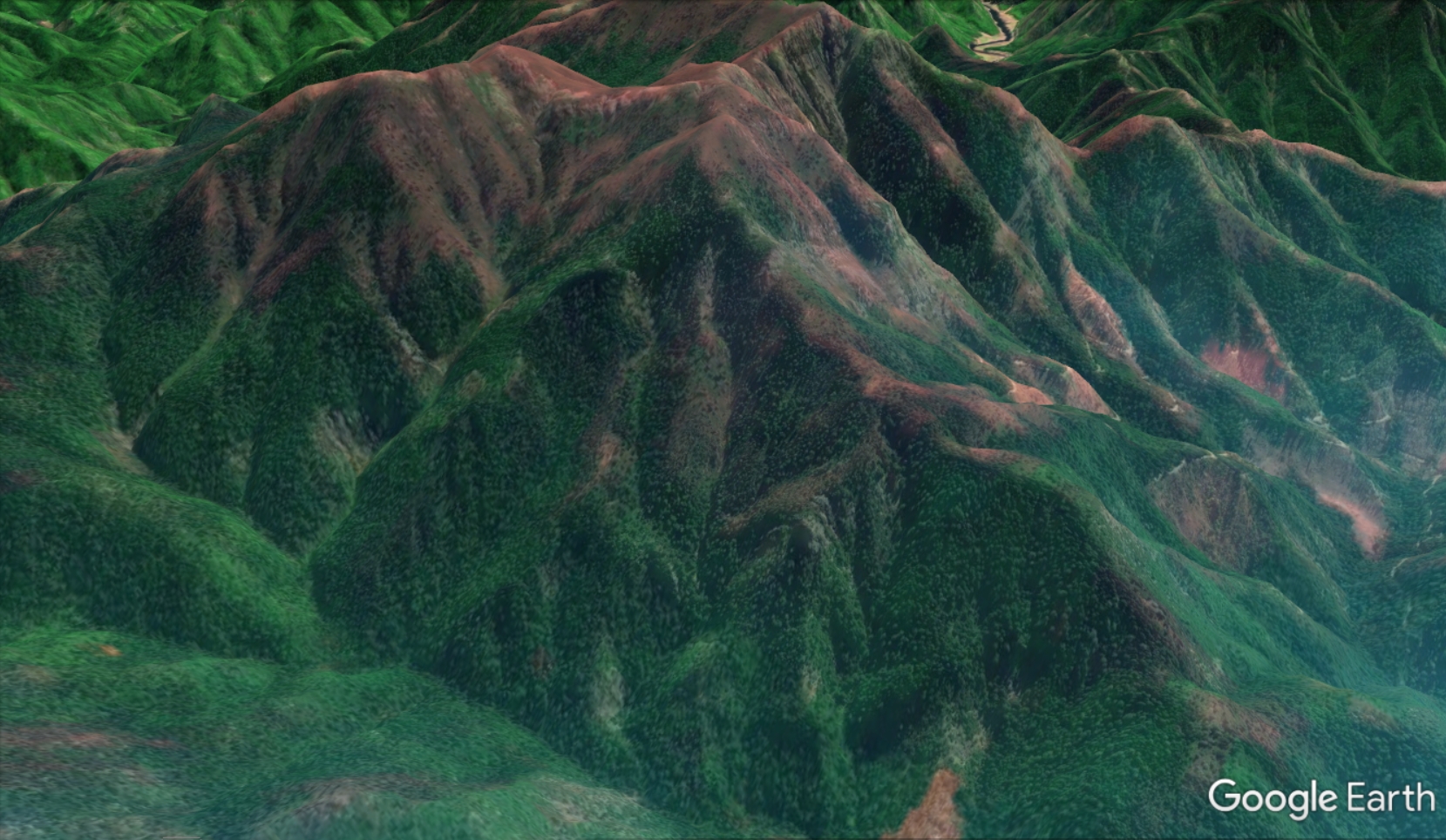
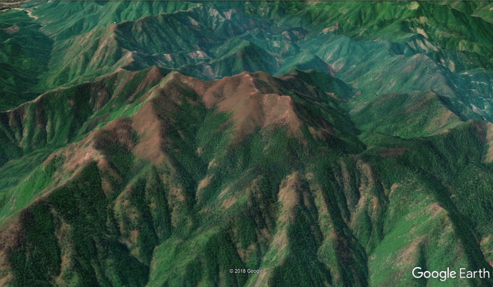
Here are a couple new satellite images for the Hirz Fire, North of Shasta Lake, captured on 9/2/2018. Reddish areas lack vegetation after the fire.
Fire severity looks like it was highest in areas of montane chaparral, on upper slopes, and in clearcuts and other areas without much shade.
This overlay is available for use in Google Earth here: http://firemaps.us/files/20180902_Hirz_Severity.kmz
2 Likes