Have you got today’s IAP?
It has not been posted to the FTP server as of yet.
Has it crossed 36? Looks like it might have??
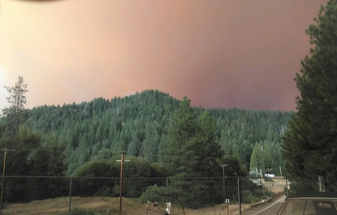
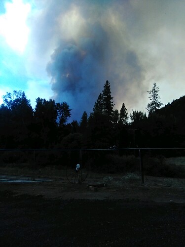
I’m on vacation & far from home, the hubs is fighting the Dixie. Was sent these from a friend in wildwood.
So has it crossed hwy 36? Would really love to know this as that would mean heading towards Hayfork. Thanks in advance.
They had it held on the 36 for quite a ways in the infamous switchbacks past Wildwood. MODIS/VIIRS is showing heat though just beyond the road going down into Salt Creek drainage below the switchbacks, but it’s way too close to be confident it’s actual spread and not just inaccurate heat detection. Time will tell this morning.
It has burned south to the August, at Red Mtn and Pine Root. Haven’t had a moment to look at the severity reports from August to see what’s left on its northern edge…
Any resource orders coming down the pipe?
BC11 just reported a lot of ashfall and reports of fire rapidly approaching Post Mountain, which is N of 36.
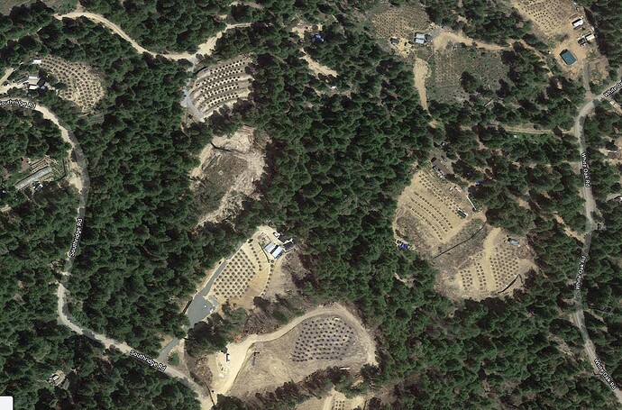
looks like a lot of plantation and clear cuts in that area.
you are right. I thought when it was legalized it would no longer be an issue. That’s what they promised. At least it is an annual crop so if it gets burned over they will just comeback with insurance money and rebuild, right?
The Post mountain area is a HUGE grow operation. A lot of effort was put into protecting that area last year during the August.
Oh the ‘15 fires hit thru the pines. Post mountain=trinity Pines=pot mountain……
Thank you for the answer. The pic I posted above is wildwood road looking west, so I thought it might of jumped 36 & put it about 13 dips area (peanut).
Apologies to those counting on the scancal.org live scanner to be tuned to SHF/McFarland. I’ve changed the top priority to Dixie West Air tonight as it has entered eastern Tehama and potential for some ugly WUI battles. For at least the next 24-36hrs. SHF Forest is on next priority but had to remove Service Net from priority since most of the traffic is on a more distant tone which is noise to me. I don’t have a UHF link for Service in range at the moment. McFar air and air/ground etc are all still in the running, just mixed with some Dixie now until Dixie settles down…this winter? If it races down Beegum towards Platina I’ll change course.
Sunday 1230: McFarland ordered up 4 LATS and 2 VLATS, and all the type1’s out of the Red Bluff Helibase just launched. Redding is IFR so slow turn arounds out there.
Also the incident put a portable RAWS (SFMU Portable) right above Harrison Gulch station. This will give a good indicator of conditions on DIV E.
PGE Beegum Gorge WX station is right above Platina on the hill south of town and the west rim of Beegum Gorge.
Yolla Bolla RAWS is interior the burn near the middle, representing DIV H area on the very south. Corresponding with the large fire spread on Aug 1, looks like this guy took the heat 8/1 335pm clocking in at 100F.
updates on McFarland?
Anyone know why there are not recent IAPs posted on FTP site? Most recent is 8/1.
Its a federal incident. Its hit/Miss if they are posting them.
Some maps etc here McFarland Fire Jumped Dozer Lines on the Southeast Side Yesterday, But Still Firefighters Brought Containment to Nearly 50% – Redheaded Blackbelt
Anyone know the status of this Fire?
Good progress around most of the fire. The south east area is giving them problems right now. north and northwest winds the past few days have pushed the fire several miles toward Tedoc Peak. Team 10 will be transitioning in, taking the fire on Sunday morning. Looking at the map this morning, the south east edge was backing downhill, but probably by now it is transitioning to another uphill run. Hot weather and northwest winds predicted for the weekend. I’m not sure of the acreage at the moment.


