edited for duplication
It is out of NEU, 4103 C Type III. Just left a bit ago from Grass Valley.
1 Like
It’s XNE, not NEU. Dispatched by the Grass Valley ECC (GVCC), but not NEU resources.
1 Like
It is Strike Team XNE 4103 C. 4100-4150 are the numbers reserved for Nevada County. All Cal Fire Strike Teams if I’m not mistaken start with a 9. NEU would be 9230C for the first type 3 out of the unit.
3 Likes
Yes local government. Ill eat crow on the designation. Nevada City, Ophir Hill, Peardale Chicago Park, Rough and Ready, and Nevada County Consolidated. I said NEU thinking region, my bad.
XSN2378C enroute at 1900 Hrs. From Sonoma County STEN 8142, engines 9777(Lakeville) 8162 (Gold Ridge) 9162 (Rancho Adobe) 3361 (Sonoma City) and 6361 (Healdsburg) assigned. Be safe, folks!
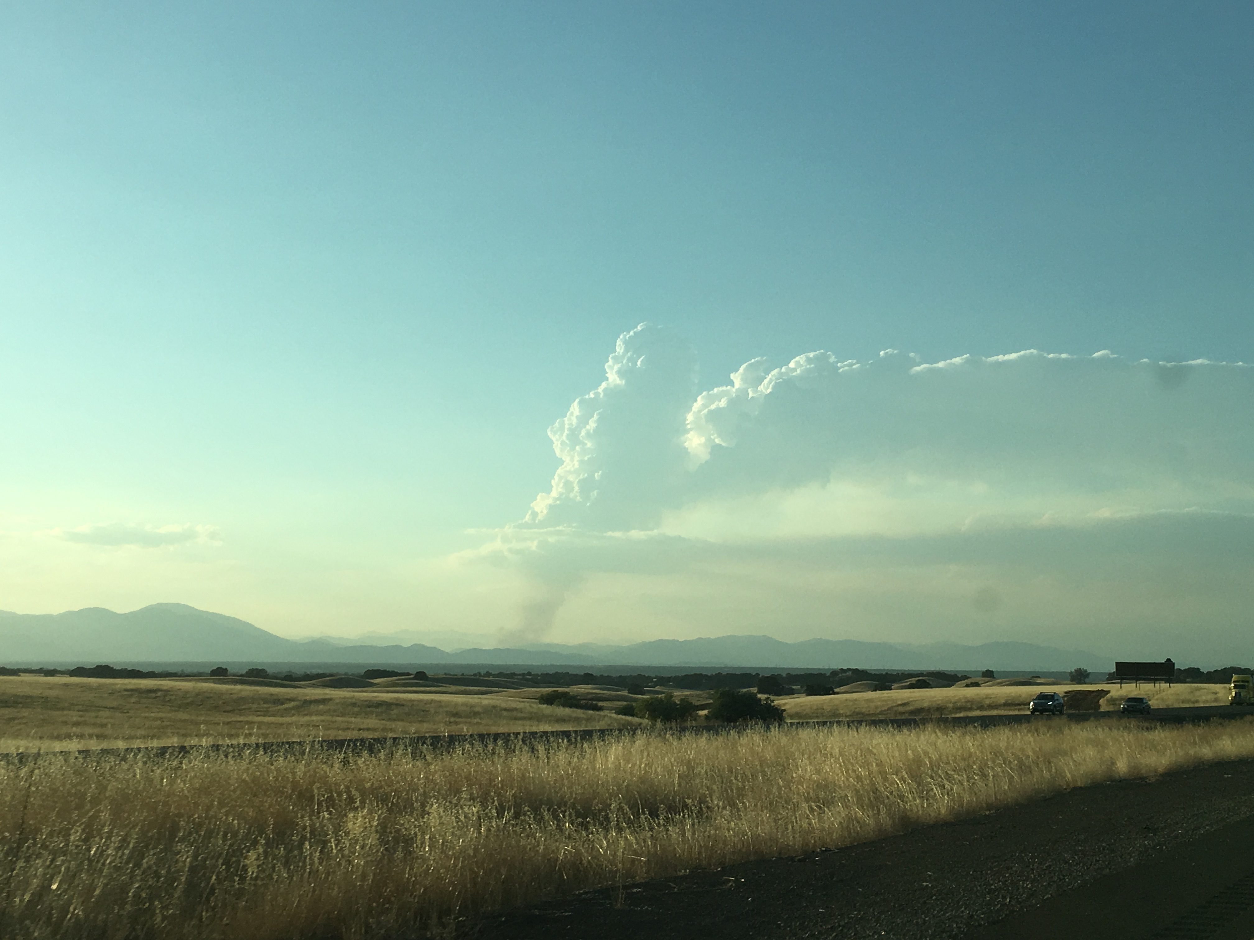
Amazing seeing the heat interact with the monsoonal moisture. Looking at the GOES imagery during sunset this thing cast a large shadow. Driving up to Redding from Red Bluff tonight.
6 Likes
Anyone have any local knowledge?.. From what information that is coming out this morning it sounds like this could be the great west side fire that people have always talked about.
1 Like
Local Redding news has it at 20,000 acres.
1 Like
I’m trying to gather intel from the ground out there. Southfork Mtn radio site burned over but the state tower is still operational. Not sure how much backup power it has if the gen/propane is impacted and just on batteries or what. Numerous WISP providers burnt over and FM broadcast. NOAA still transmitting. All I have is MODIS and VIIRS and it’s doubled in size from last night. I HATE speculating on here but it’s all I got at the moment as I scour ground reports. Reports of losing Oak Bottom Marina in Whiskeytown but can’t find proof yet (update: local news reporter saying 40+ boats lost). Eureka Way caltrans cam is furthest west in Redding, traffic control in intersection but looks good so far, negating the VIIRS hits in area - possible plume signatures. Heavy ash on cars in Red Bluff. (speculation) seeing reports of significant iron that was abandoned last night.
4 Likes
Along with @norcalscan piecing together what I can( out of area). Confirmed by C2400 structures and boats lost at oak bottom marina. Also per C2400, fires edge is between Rock Creek road and iron mountain road.
Based on current photos looks to be under northerly influence now, forcasted to be 10mph Westerly later.
From where fire was yesterday afternoon to present appears it covered 5+ miles linear to the east. City of Redding 3.5 east of current fires edge.
Also modis hit south of whiskeytown lake near Carr powerhouse( unconfirmed) but would be a entirely different animal with terrain features from Shasta Bally mtn.
4 Likes
Yes - at 0945 confirmed 15 acre spot fire on south side of lake, directly across from Grizzly Gulch/Oak Bottom Marina, and east of Carr Powerhouse. They are doing everything they can to get two T1 copters on this ASAP. HelCo was going to try and get them over the lake but sounds like they have to go up and over French Gulch and come in from the northwest due to smoke. This spot is air attack’s highest priority now.
edit 1008: “made it to the spot, night resources have it about tied in” just got approval to run dozers in the park on this.
Spot wx forecast from 0245 today.
https://www.weather.gov/spot/php/forecast.php?snumunum=1813497.0&lat=40.582062273095374&lon=-121.88907358127359&z=8
1 Like
Task Force leaving from Glenn Co. Glenn, Colusa, Loyalton.
XSM2276A enroute
1 Like
Is there and IMT on this fire?
Yes! Calfire IMT-1
Anyone have good coms as to where the head is?
Which head? As of right now… The north end in Div O and M, it has spotted and established across Cline Gulch. Pulling all resources out of that area. They were hoping to go direct earlier today, then backed off to Shirttail Peak and ridge area to fight indirect, and now it sounds like they’re letting the beast do it’s thing.
The other head is in Old Shasta area and Hwy 299, it crossed earlier this afternoon west of Rock Creek, and now just spotted multiple locations across 299 at Rock Creek. Multiple structures immediately threatened. Per AA, “it’s really boiling down there”
5 Likes