@pyrogeography, can you post a KML or link to the data for the map that you just posted to twitter? I’d like to open it on Google Earth so I can scroll around.
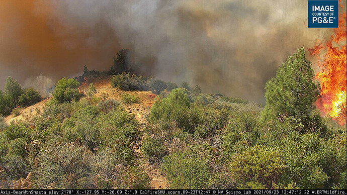
Have to see if it survives!
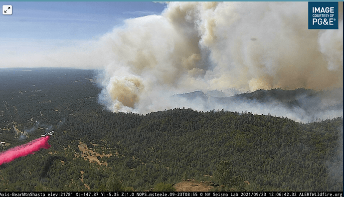
The Sky Crane is giving that area some attention making a few drops hopefully slow it down.
Don’t think one is rolling yet, but I’m guessing it will be soon.
 ’
’
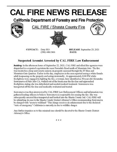
She was booked on 09-12-2021 Douglas County, Oregon, criminal 2nd degree trespassing,
Lab tech turned Shaman…
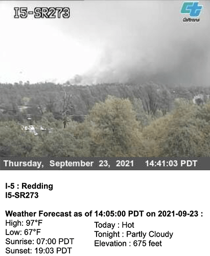
The CalTrans CCT cam at 5 & 273 somewhat adds some perspective on how the westward movement towards I5 is occurring.
Per AA: 3500 acres
Any good scanner links ?
Anybody know where ICP is going to be?
Can’t say for sure as yet, but they often use Shasta County Fairgrounds out of Anderson.
Yes Anderson Fairgrounds
Is that a spot fire on rattle snake peak cam?
negative, that is a new start in kelly ridge area.


