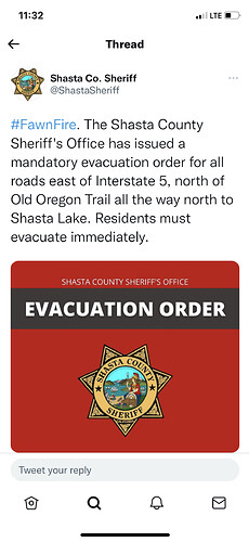
Can’t say for sure as yet, but they often use Shasta County Fairgrounds out of Anderson.
Yes Anderson Fairgrounds
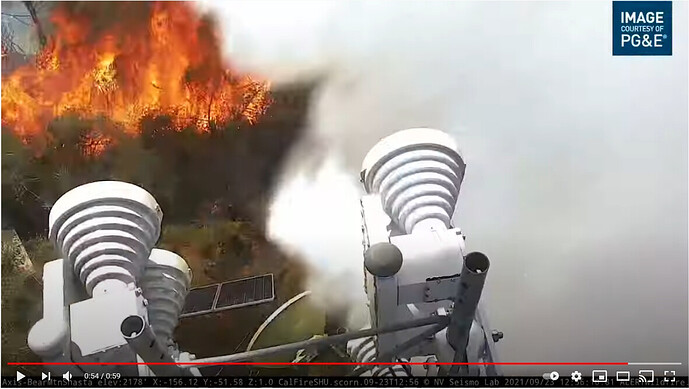
Is that a spot fire on rattle snake peak cam?
negative, that is a new start in kelly ridge area.
CalTopo showing fire history in the area with heat signatures of the Fawn Incident.
https://caltopo.com/map.html#ll=40.70954,-122.25689&z=12&b=f16a&a=fire%2Cmodis_mp
Regarding the Intel Platforms and info releases are they approved by the IC?
The perimeter and announcements of spot fires could be concerning and in my case was false but did cause me to address it with superiors.
Just wondering. Excellent info, but is there a process?
Is it just me, or does it appear the fire has picked up in activity again in the last 30 min??
Always hard to tell at night with cameras.
Buy that pilot a steak dinner and cold one!
OES Type 1’s in region 2 are being sent immediate need to Williams to form up into Strikes Teams for this fire.
Granzella’s Staging.
OES XCC 2807A left around 1200
Does anyone know if the big powerlines got taken out or just turned off? Power is out everywhere north of the Pit River Bridge up to and including Lakehead.
Incident had the 115kV transmission lines in Branch 1 (just east of and parallel to I5) shutdown for the increased fire behavior. It’s the sole transmission for the Sac River canyon between the Cascade sub in north Redding and Antler substation in Lakehead.
Can confirm
Thank you both. I figured as much. Retired firefighter here in Lakehead where the neighbors have lots of questions. I’m grateful for this website and your quick answers. Thanks!
Just curious, my map and driving experience says those lines run all the way north through Dunsmuir, Weed and into Oregon at Copco - is it just difficulty in getting things re-switched to feed the opposite direction?


