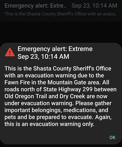
State ID: CA
3 letter designator: SHU
Fire name: Fawn
Location: Fawndale Rd SE of quarry, Mountain Gate, approx 8 miles N-NE of Redding.
Reported acres: 50
Rate of spread: Rapid
Report on Conditions: Steep, difficult terrain.
Structure threat:
Resources:
Hazards:
Weather:
Radio channels:
Scanner link:
Webcam link: ALERTWildfire | Shasta Modoc
Agency Website:

Removed scanner link. It was their primary channel, not a tac being used for the fire, nothing to hear on it.
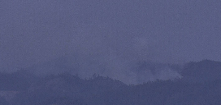
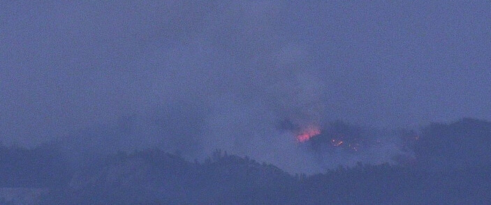
Fire is still active on the Bear Mtn Cam.
http://www.alertwildfire.org/shastamodoc/index.html?camera=Axis-BearMtnShasta&v=fd40729
Certainly is:
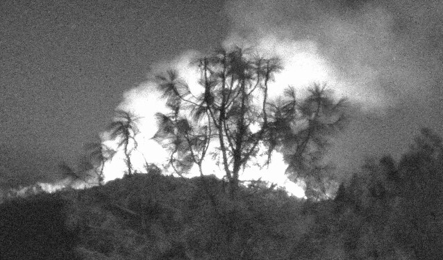
And Shasta Lake 2 ALERTWildfire | Shasta Modoc
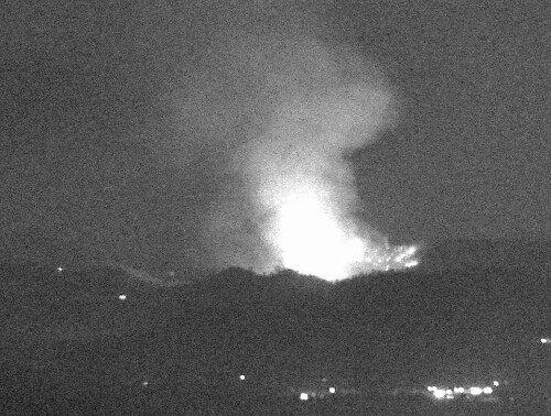
http://www.alertwildfire.org/shastamodoc/index.html?camera=Axis-BearMtnShasta&v=fd40729
Still has a good column on it, and it appears some wind…
Big wind shift around midnight. Spotted out on the south side and made a decent push to the southeast. Immediate need strike teams on the move this morning to the fire. Round Mtn camera shows the push.
http://beta.alertwildfire.org/region/shastamodoc/?camera=Axis-RoundMtnShasta
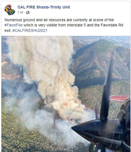
(https://twitter.com/CALFIRESHU)·[1h]
(https://twitter.com/CALFIRESHU/status/1441036776349470728)
#FawnFire near Fawndale Rd and Radcliff Rd, northeast of Shasta Lake in #ShastaCounty County is 150 acres and 5% contained.
New evacuation orders:
The Shasta County Sheriff’s Office is issuing an mandatory Evacuation ORDER. All roads off of Bear Mountain in both directions between Dry Creek and Old Oregon Trail must evacuate immediately.*
PGE WX Whiskeytown (ignore name, it’s Gray Rocks on the NW heel of this fire) is showing winds quite a bit stronger than I expected this morning. Sustained NNW in 20’s gusting high 20’s.
Shasta Bear cam sung around to show it getting well established just west of Stillwater, in the top of Deep Hole Creek area.
Redding S2’s on the early up, Chico on their way too. This is going to get a lot of attention today. My scancal.org live scanner has Fawn Command on second priority, and Fawn air/ground on priority along with Fawn air attack and rotor vic. (limited to 60 listeners, please be gentle.)
SHU working up LG strike teams immediate need. TGU looking for any volunteer type 2 engine available as well.
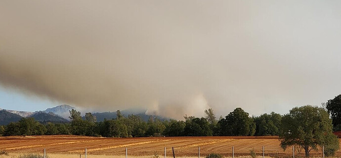
Winds are sheering the column horizonal and fairly narrow as seen in my photo but it seems to start high enough to give tankers enough room to see and work underneath at this time.
(https://twitter.com/CALFIRESHU)-9m
#FawnFire near Fawndale Rd and Radcliff Rd in #ShastaCounty County is 800 acres and 5% contained.
All fixed wing are doing spot structure protection drops. MCC just dumped out two more LATs. No rotor up yet.
A few more weather stations to give the good picture.
PGE Bear Mtn is right at the head of the fire now at 0930.
PGE High Line Trail to the east of the fires in the foothills, showing the easterly downslope winds that is shearing the column off @Tornadokat mentioned. ENE 5G16
PGE Palo Duro is south of the head, in the middle of the WUI just south of Hwy299. N 8G21
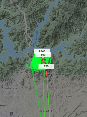
TNKR131 (C-130) being loaded in Redding, TNKR15 (BAE 146) enroute from Sac, ETA 3 minutes.
Add: TNKR102 (MD-87) from Sac 2 minute ETA.
Add: TNKR162 (RJ-85) from Sac ETA 3-4 minutes as of 9:58 am.
Add T914 and T912, and two scoopers just pre-positioned to Chico. First rotor appears to be an S64 out of Chico, just about 10min out. C205 was on IA last night, still at Vina this morning.
Evac info is very fluid, anyone in the area needs to be paying attention. Here’s one I received. This area includes Shasta College.
2 posts were merged into an existing topic: CA-SHU-Fawn???
1230pm: The spots from this morning at 430am in upper Stillwater drainage became well established and is currently blowing out the canyon to the south, racing below Shasta Bear Lookout and camera, coming into Bear Mtn Rd at Jennifer, and setting up for Intermountain Rd in alignment. VLATs dropping well ahead of this above Jennifer in hopes to slow it and give ground resources a chance to catch up. That entire drainage is in perfect alignment with the winds.
Is Your Radio Up For The Fawn?
Bear Mountain camera is about to be overrun with fire.
ST 4220 C formed and headed out, guessing for this incident
