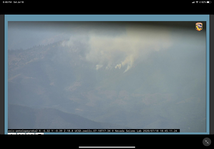
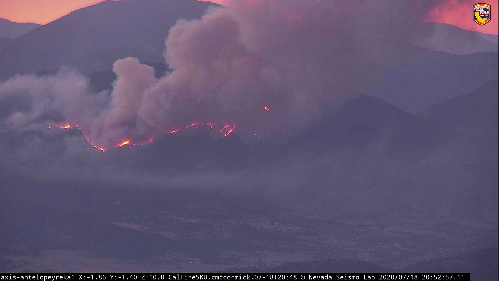
The Badger Fire has already gone nuclear. Great view of the column from the Herd Peak cam.
http://www.alertwildfire.org/shastamodoc/index.html?camera=Axis-HerdPeak&v=81e003f
For those interested in fire behavior, take notice of the column from the Humbug although small being substantially influenced by the Badger column.
EDIT: To reverse polarity as the naming of the two fires becomes clearer.
If they burn together can name it the Bahumbug.
Does anyone know the air tanker # for N428DF just leaving the Humbug/Badger. Old picture on flightradar24.
428DF is Tanker 91
Not much lateral spread
Looking at the 15 min time lapse it just spotted about a 1/4 mile ahead of itself.
Its been primarily rolling out and spotting. Not too many places to get under it …
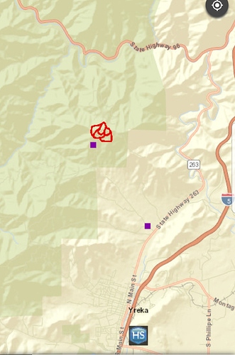
Appears Six River in DPA map
I would guess close between there and the Klamath. If it keeps rolling to the north, it will move towards the Klamath.
It’s beginning to move laterally now.
Hope folks on Humbug are out of the way. Stay safe out there.
when is pumpkin time???
Definitely has a little more push on it as the sun is setting.
So, about this becoming the Bahumbug Fire. Looks like that has or is about to happen.
This fire behavior in July should be a good situational awareness tool for our firefighters. Fuels are exceptionally dry, severe drought conditions exist. Let’s all stay safe via LCES.
Check the lower-level jet of higher speed wind below the fire.
In the time lapse you can see it pulling smoke and fire down.
Micro-climate!
LCES
Anyone know if Yreka is under threat of an evac? Family there. Not familiar with the area enough to estimate the fire’s path.


