Im hearing 555 acres now
3 Likes
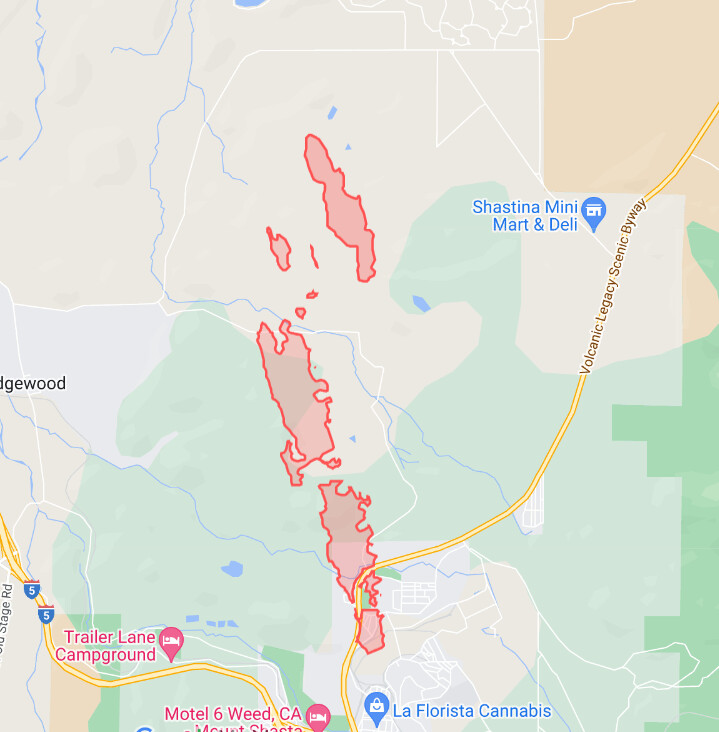
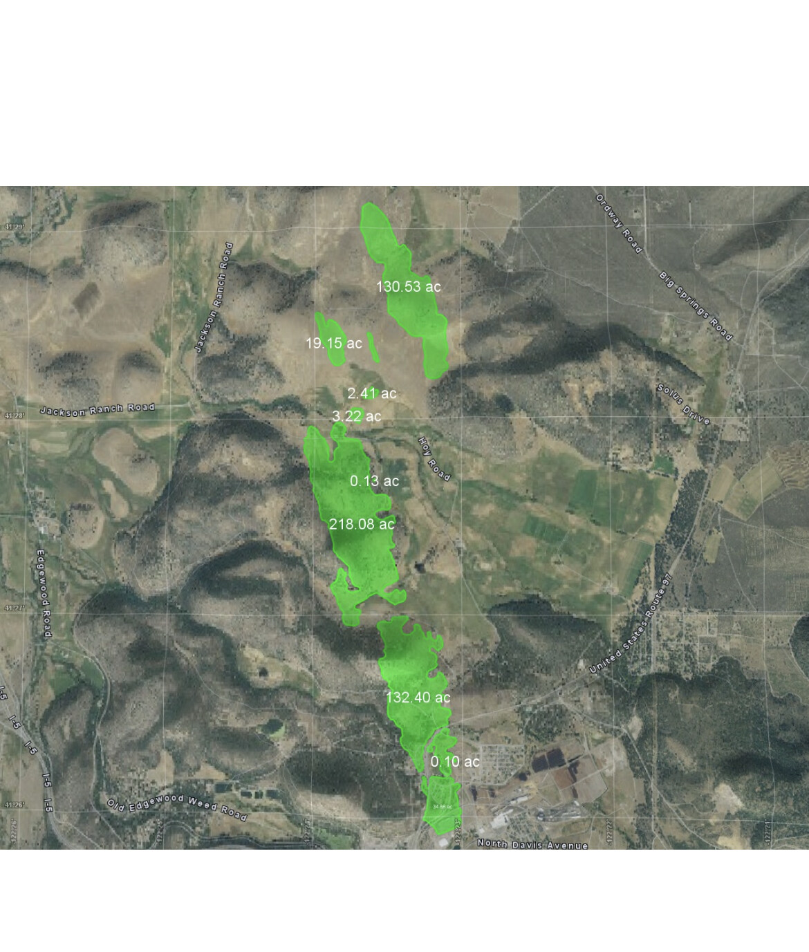
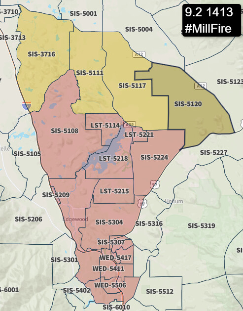
Approximately 555 acres
2 Likes
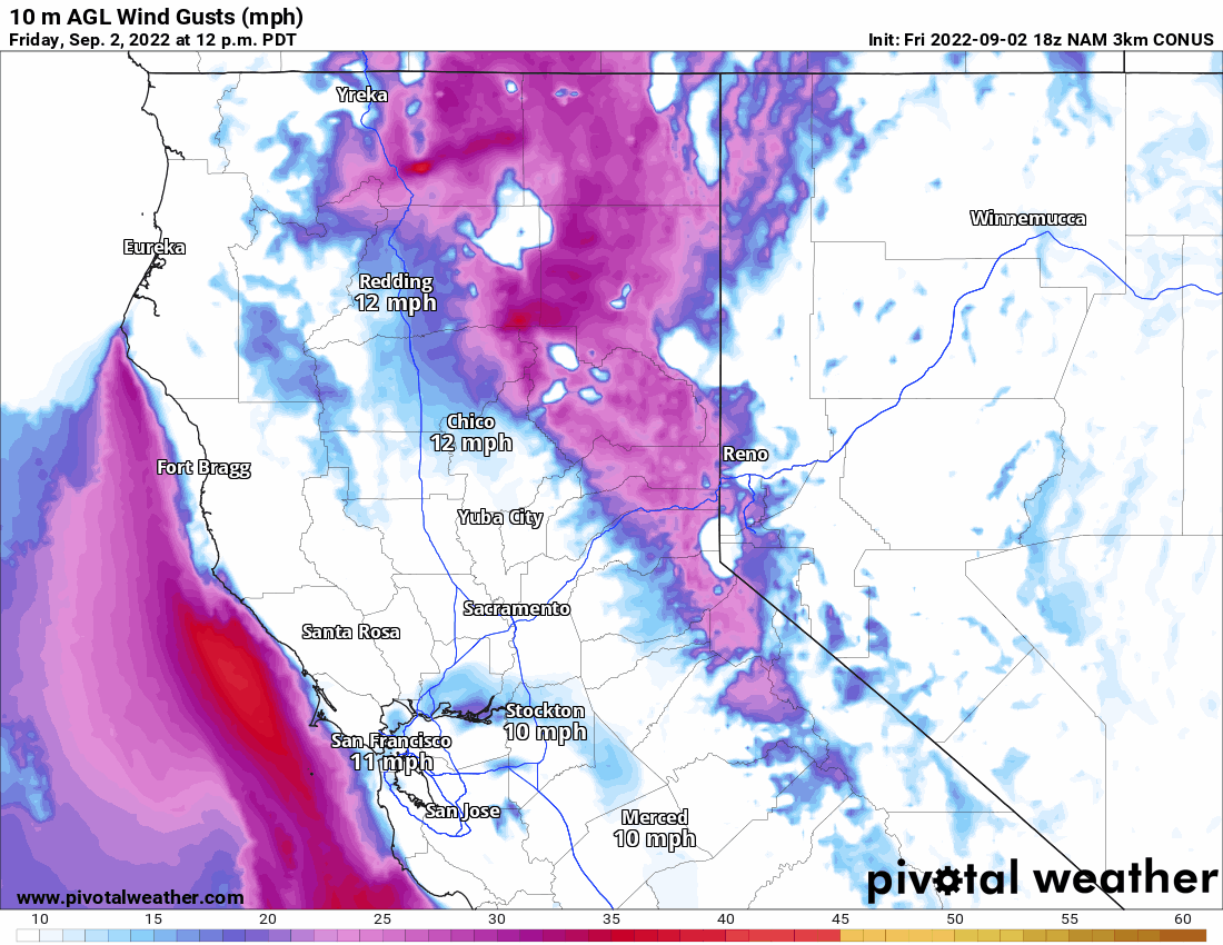
Weed airport RAWS reporting current conditions as 97 deg, winds SSE at 23 mph, with gusts to 33 mph. Dang.
3 Likes
2 VLATS and 4 LATS 103,132,139,160 requested. 4 LATS are at MCC. 2 VLATS are coming from So. Ops
2 Likes
AA will take the 4 lats from mcc and 2 vlats from South ops for a total of 12 tankers
4 Likes
Caltrans camera at Weed:
1 Like
IA thread started
3 Likes
I’m a little ways away but with the same weather, and the winds picked up at about noon - if it’s anything like the past five incredibly windy months in Norcal, are likely to stay at 20-30kts from the SSW & SSE for another three hours at least. This could keep moving fast for the rest of the day.
3 Likes
5 additional immediate need strike teams ordered any type
2 Likes
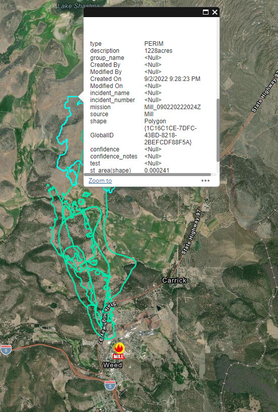
shastina camera has it coming right at the camera based on smoke
2 Likes
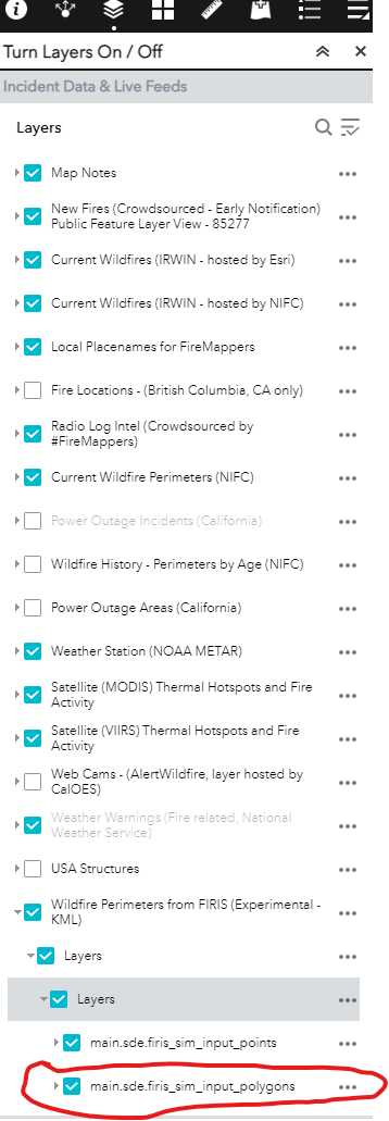
Where do such fast updates for FIRIS mappings come from?
1 Like
Actually, watching it for the last hour, the head has moved past the camera’s view to the right. What you see is a finger or part of the right flank.
1 Like
Satellite internet on-board the aircraft.
1 Like
Is it too soon to be thinking about putting a team on it?
1 Like
Silly me, don’t ask the right question, don’t get the right answer… more specifically, how can we access this data so early?
3 Likes