Anyone have freqs for this fire? I don’t need the numbers, just the names of whatever they’re using.
1 Like
Mill Fire
Air Tactics 167.0625
TOLC 123.025
Victors 125.725, 133.275
Air/Ground 169.4375 (likely command)
Air/Ground 159.375 cdf tac 20, (likely tactical)
Mountain
Victors 118.025, 123.175
Air/Ground 169.150 (likely command)
Air/Ground 159.345 cdf tac 18 (likely tactical)
Air Tactics 166.600
5 Likes
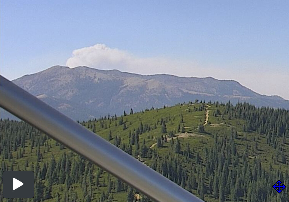
Active on the mt bradley cam
https://www.alertwildfire.org/region/shastamodoc/?camera=Axis-MtBradley1
4 Likes
Any updates on this thing? She wake up at all today??
1 Like
Thank you! We just heard that one of our type 3 ST (6220C) is being sent up North for down here in So Cal
3 Likes
No problem
1 Like
Here’s all the cams it appears to be on. Tile display (Mt. Bradley 1, Soda Ridge 1, Fort Jones 2, Shoeinhorse Mtn 1)
6 Likes
Though I wish I had more information on what’s currently going on with crews on the line
1 Like
Team 5 has mountain and mill under their command.
7 Likes
Yup, from the Mexican border to nearly the Oregon border. Haha. What a haul
6 Likes
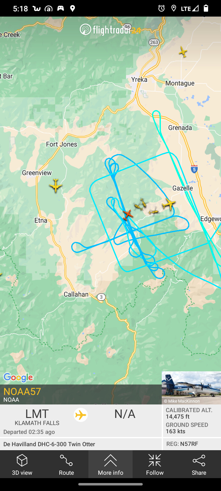
Anyone spotted an intel/mapping flight? Or will we have to wait until late tonight/the morning
1 Like
Man, you’re right to keep up that pressure, it’s a shame. I feel for everybody in Siskiyou who’s been under the gun all summer long and get to learn where the fire actually is maybe once per burning period, let alone responders without logins.
None of the IAP arguments (privacy, mostly) even apply—I feel like the usual reason for closed access is “it might be misinterpreted or dangerous in the wrong hands”, when in reality, people either don’t know where the fire is and don’t get out of the way in time when it outpaces evacs (Mill) or rely on MODIS/VIIRS and go wild speculating about 50k-acre runs like the McKinney’s first big run with the shifted plume data.
Anyway, feels odd to me that this fire appears to have been chunking through the mountains all day and we’ve had nothing on where it actually is after it’s skinny run last night.
13 Likes
I’m fine with moving these posts over to the GIS Mapping thread or a new one.
5 Likes
Operating in secret on a plane that is “on scene” within the hour of most fires this season seems odd. What’s up with not sharing with the Calif taxpayers. Wildfire.org and app.watchduty.org have the FF’s and local residents best interest at heart.
7 Likes
take a look at the soda ridge 1 cam… it is really coming alive
https://beta.alertwildfire.org/region/shastamodoc/?camera=Axis-SodaRidge1
I agree, move it to general discussion. Much of this has nothing to do with the specific mountain fire, and much to do with legalities and possibly some politics.
3 Likes
Mod Note
All further GIS/Mapping comments need to occur in the GIS thread. Further will force movement.
Carry On
8 Likes
3 posts were merged into an existing topic: GIS and INCIDENT MAPPING