SLU dispatching a fire at Highway 58 and Soda Lake Road. I an in Santa Maria and can see the column starting to build already.
3 acres, grass, mros
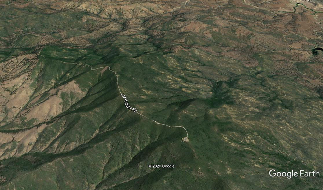
Two heads, 15 acres, running toward Branch Mountain Road.
http://www.alertwildfire.org/centralcoast/index.html?camera=Axis-PlowsharePeak&v=81e003f
Also on La Panza
1 Like
And this one:
http://www.alertwildfire.org/centralcoast/index.html?camera=Axis-BlackMtnSLO&v=81e002f
2 Likes
40 acres in grass, one structure threatened
IC reports 90 acres.
Both Paso tankers diverted for new start. 1 Tanker from Porterville & 1 from Hemet-Ryan enroute.
Black MTN and La Panza cams have it
1 Like
5 additional engines code 3 to the fire. 350 acres, one structure lost
2 Likes
Scanner
1 Like
IC says the fire is now 750 acres. Has crossed Belmont Trail. Still 10% containment. Requesting four additional dozers.
3 Likes
VLAT and T1 Helo ordered
2 Likes
The fire has crested the Ridge and is visible on the La Panza Cam. Currently taking out a large Bowl.
1 Like
1,550 acres, entering BLM jurisdiction
2 Likes
What’s the wind like down there?
1 Like
Winds are definitely picking up in the Santa Maria area. The influence in the Branch Mountain area is out of the north. If winds are blowing down the 166 corridor, they will also influence this fire.
2 Likes
Good call by the IC on those Dozers, looks like good country for them to work.
1 Like
Does anyone know what Mountain Peak the La Panza Alertwildfire camera is on? I don’t see a La Panza peak anywhere on the map.