Based on the most recent map and wind direction, I wonder if they will just let the head burn to Soda Lake Rd where it curves down to the south (Div P, N). That stretch of road already looks like a catchers mitt. Light it off and let it back into the wind
1 Like
There is a ton of value in this site and it’s only as good as us. Proof the Mods let this rant go on. You don’t get radio freqs etc from WD. There are a lot of haters out in cyberspace and I applaud them for monitoring. I’m still engaged in fighting fire and this is one of the first sites I go to. Now back to the fire
17 Likes
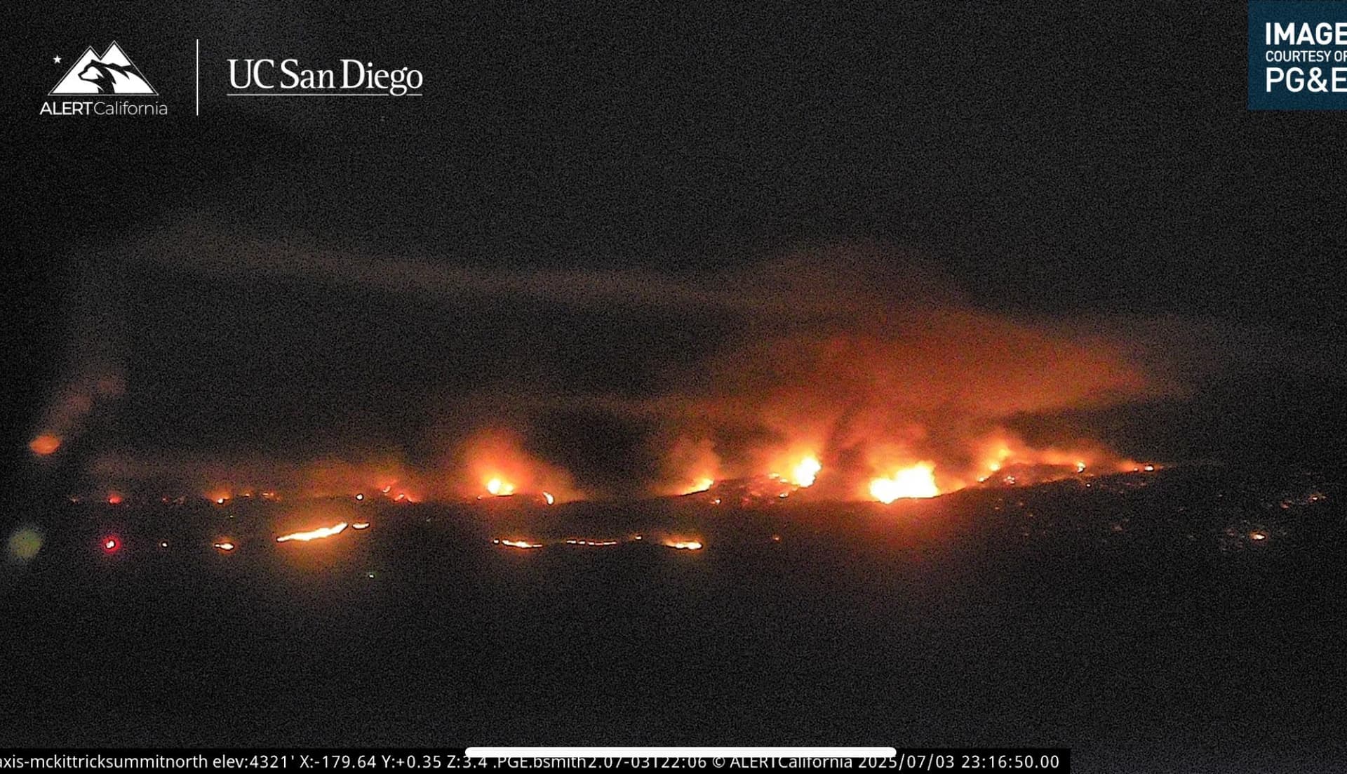
Looks like a strong run out in the flats on the Mckittrick wide view camera South of Soda Lake, looks like some strong winds out there
4 Likes
The more information the better, freqs, icp,teams,weather,the knowledge of pass fire ,the extra links - invaluable,
There are about five or six sites to use , everybody has the preference, but the more info the better,now I have to go look at pictures
3 Likes
4 Likes

This incident appears to be adjacent to the Perkins Incident 05, 06??? I contracted Giardia at base camp and Valley Fever from cutting line. Thought I was on my death bed. I do not want anyone else to experience any of these problems, so, please please please educate everyone during morning briefings and/ or during tailgate sessions. Sorry for the interruption.
19 Likes
Perkins was south of Cyama, that kitchen got a bunch of people. On top of multiple cases of Valley Fever. Cal Val, Cyama Valley and the ridge between there and the lower San Joaquin are among the worst in the state for Valley Fever. I worked the east side of SLU for years, we had very few fires where someone did not get it.
7 Likes
An IA thread has been created. REMEMBER, each of you can create an IA post with the right information. Don’t wait for a mod to do it. Back to the fire…
14 Likes
KRN have a plan if it comes out into the SRA in the oil fields? those winds remind me of being a seasonal in SCU in the Altamont during the windmill days
5 Likes
Is there still a threat of the fire running to south of Highway 166 towards the Ventucopa area?
2 Likes
Video from Copter 964. Shows what the boys are up against.
https://www.instagram.com/p/DLq6Q7LRbBV/?igsh=NTc4MTIwNjQ2YQ==
4 Likes
Any updated orders? Havn’t seen anything going through north or south ops yet
3 Likes
I heard CMIT team 8 transition got pushed until 0700 July 4th.
5 Likes
5 Likes
Until Team 8 gets going, then the orders will start flyin in. The are suppose to take th efire at 0700 this morning.
6 Likes
LPF Facebook post 4 hours ago…
The Madre Fire continues to grow and has now burned 52,592 acres. California Interagency Incident Management Team 8 will assume command of the fire at 7:00 p.m., July 4.
5 Likes
Watched the 6 hour camera view and could see a lot of firing out in the flats this morning, if they tied it into Claude Arnold Rd and Chimineas Ranch Rd they might of tied in the North side. time will tell
7 Likes
That actually makes sense. It allows the type 3 team to complete their planning cycle and the incoming team to start a new planning cycle verses transitioning in the middle of a planning cycle. Either way the incoming team would be shadowing and ready to take the incident after briefing this morning.
6 Likes
Todays weather concerns/notes… Hot conditions are expected to persist through at least Saturday, with minimum humidities likely to lower into the mid teens, with lower teens possible (30-40% chance). High mixing heights will also continue the risk of plume dominated fire behavior, especially in the afternoon to early evening hours. Today into Saturday expect a trend of decreasing winds, especially on Saturday.
5 Likes