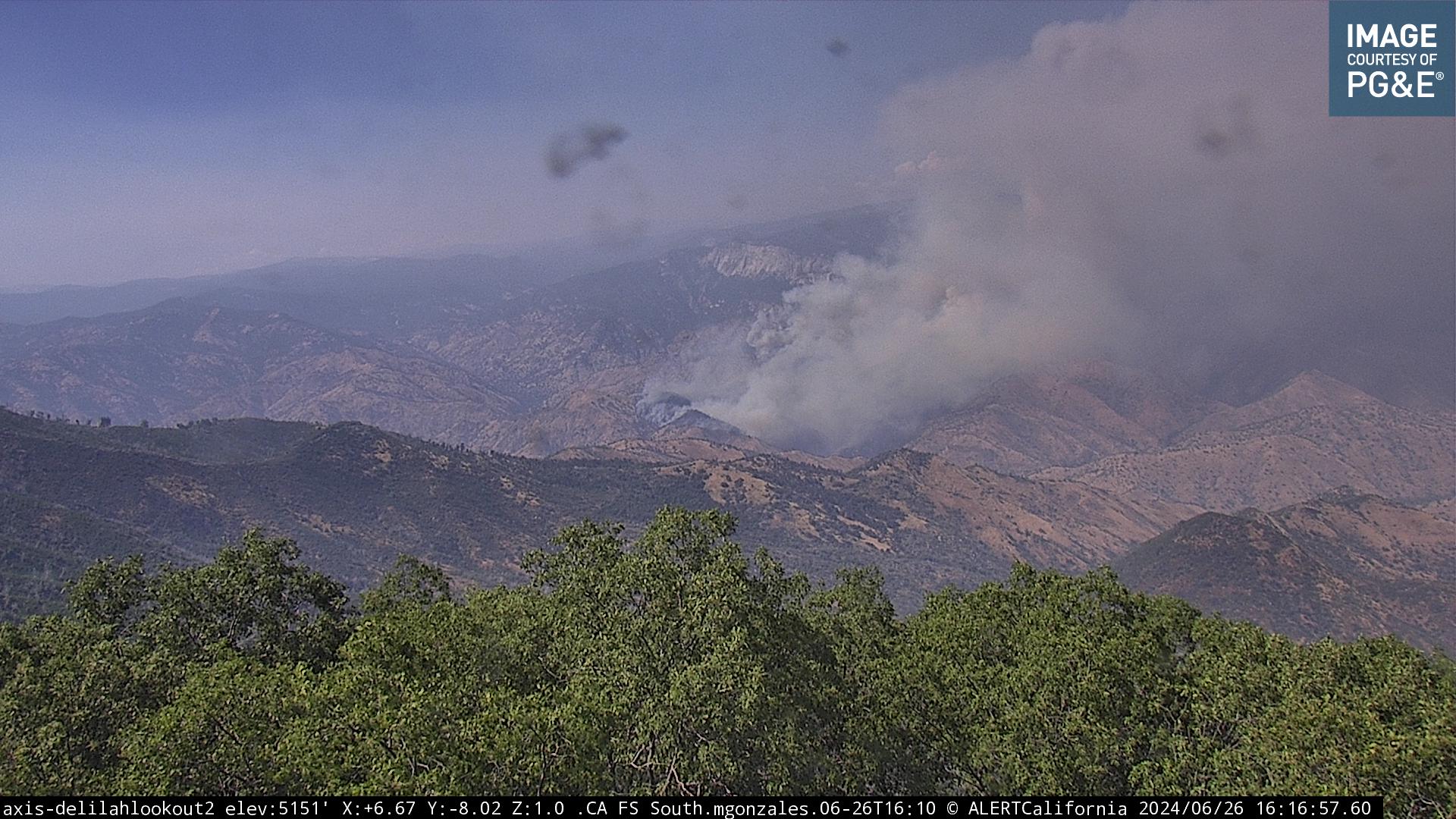
The smoke is starting to mix out and move east, the basin is showing more heat on satellite than it was an hour ago, rock fire was trying to build, and the bolt is very visible where I am,
1 Like
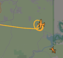
Delilah and Mckenzie ridge cameras have gone offline.
2 Likes
 C130 On the Hog
  Thank you!
2 Likes
Basin fire update from AA- 200 acres, column is lifting ordered a lead plane for retardant evaluation on left flank
2 Likes
Ordering up for the basin. 4 crews type 2IA or better, preferable type 1. 4 ST’s of type 3 engines, 4 divisions, and a couple WT’s. Didn’t catch the rest.
2 Likes
Basin update from the ground:
250 acres making significant runs on left flank running to the east.
Resource order:
4 DIVS
1 SOFR
4 Crews 2IA or better prefer T1
4 T3 strike teams
2 Water tenders
Roll all aircraft if available
1 Ambulance
5 Likes
AA requesting 2 additional type 1 helicopters for the basin.
2 Likes
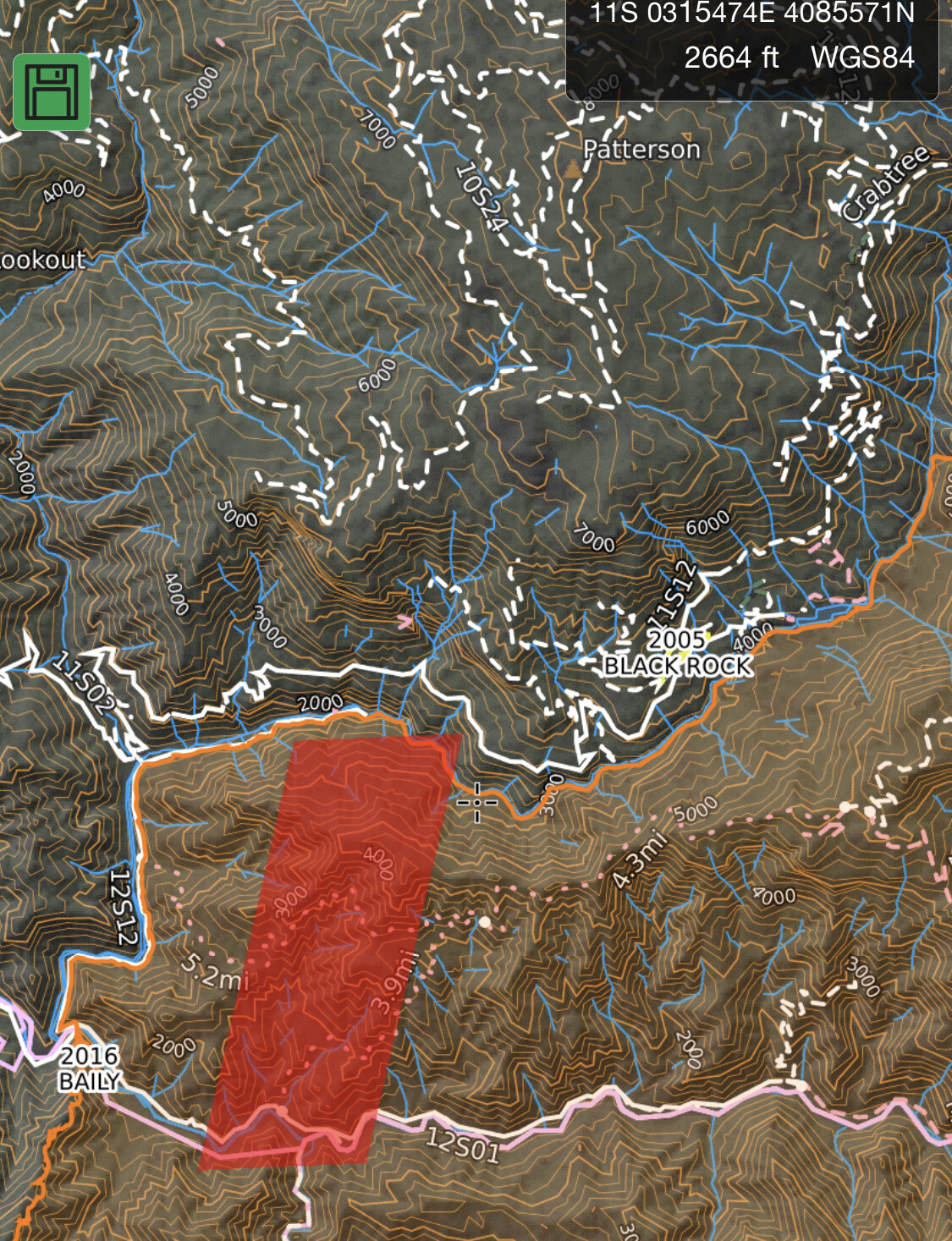
Camera for the Basin?
3 Likes
Closest cameras are offline but if they come back on Delilah is right next to it.
4 Likes
Delilah 1 camera is up showing a large buildup on the right side of the picture frame
2 Likes
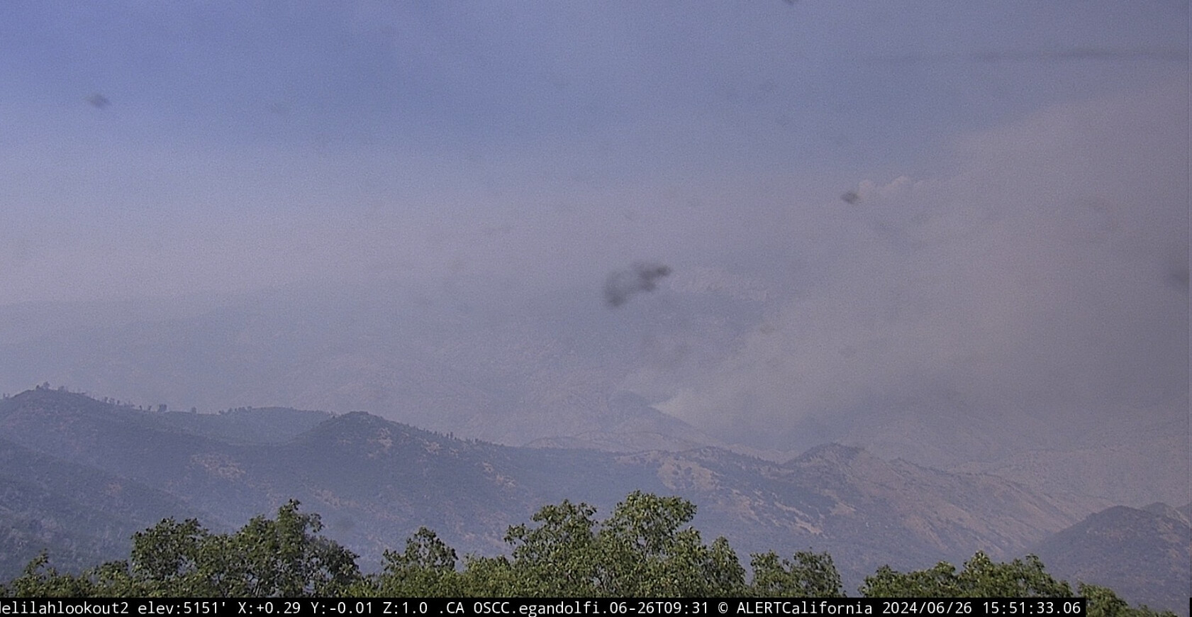
That’s the basin.
2 Likes
Third look also set me straight - thanks
3 Likes
IC is worried about structure protection for the Basin, in regards to Balch Park.
Making it a priority to pull the helitack crews off the fire.
AA15 ordered a type 1 airtanker for the rock fire.
2 Likes
AA placing an order for 2 additional type 1 helicopters. Told they would have to take the order to NICC, AA stated affirm get them headed this way for tomorrow.
3 Likes
IC stating Basin Fire is 1000 acres.
Fire has crested Rodgers Ridge.
3 Likes
What’s the closest raws?
1 Like