I.A. thread started.
5 Likes
I’m trying to find the fuel moisture readings but can’t find them
2 Likes
Trimmer springs raws has it.
1 Like
It doesn’t say for what fuels but they don’t look exactly high
1 Like
If it’s a RAWS, it’s 10 hour.
3 Likes
Thank you 10 hour of 5%
1 Like
Any updates on the rock fire?
1 Like
The report before sunset from the IC: they are spike bedding it tonight, feel safe enough. Escape routes, two, are picked out.
Line built to meet the retardant drops that have fully boxed the fire. No support though for those drops.
Reassess in the morning. Sounds like they are close the the Basin. I don’t know the land. But, the chief thought they should pull out.
3 Likes
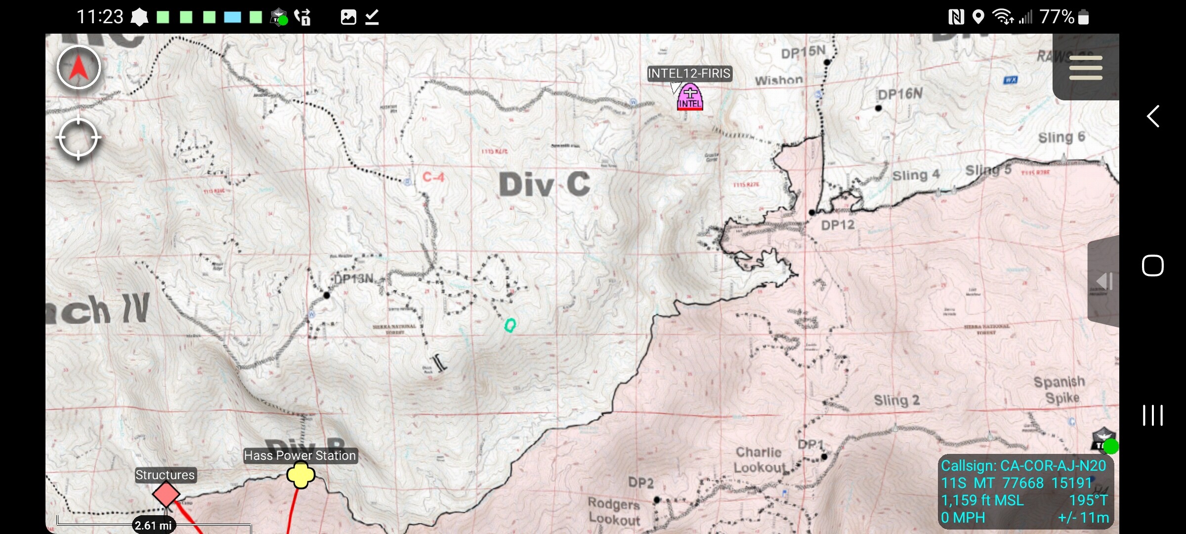
Intel-12 in bound to basin should have a new map in 30 or so mins
7 Likes
Lookin at maps, I’m sure the goal is to keep it on one side of the river because that’s a loooooong river drainage bowl for it to run up with any decent winds.
5 Likes
3 miles as crow flies.
2 Likes
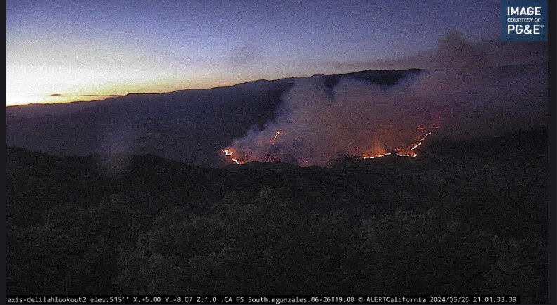
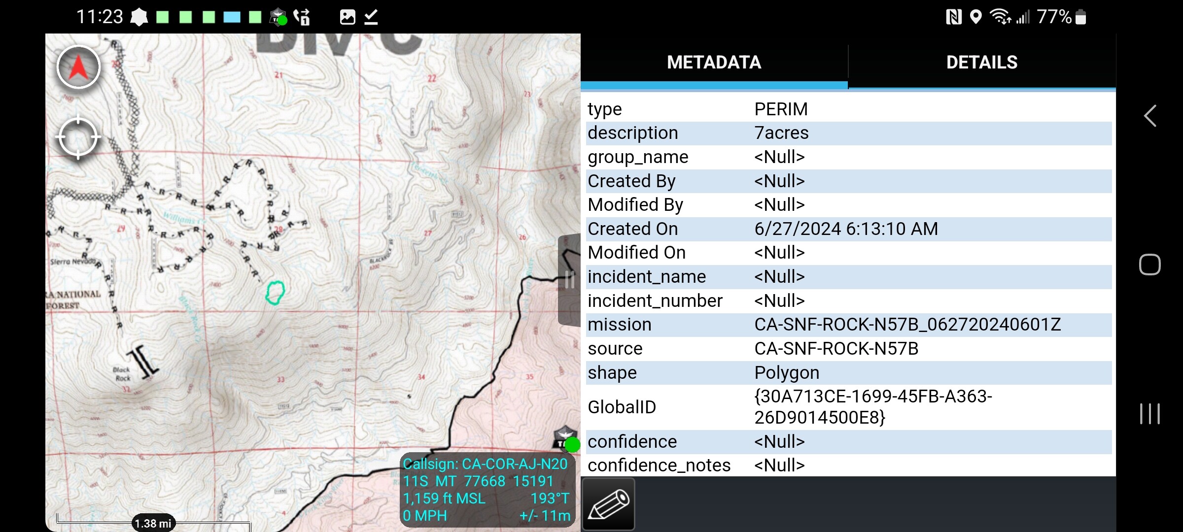
Rock fire getting mapped now.
2 Likes
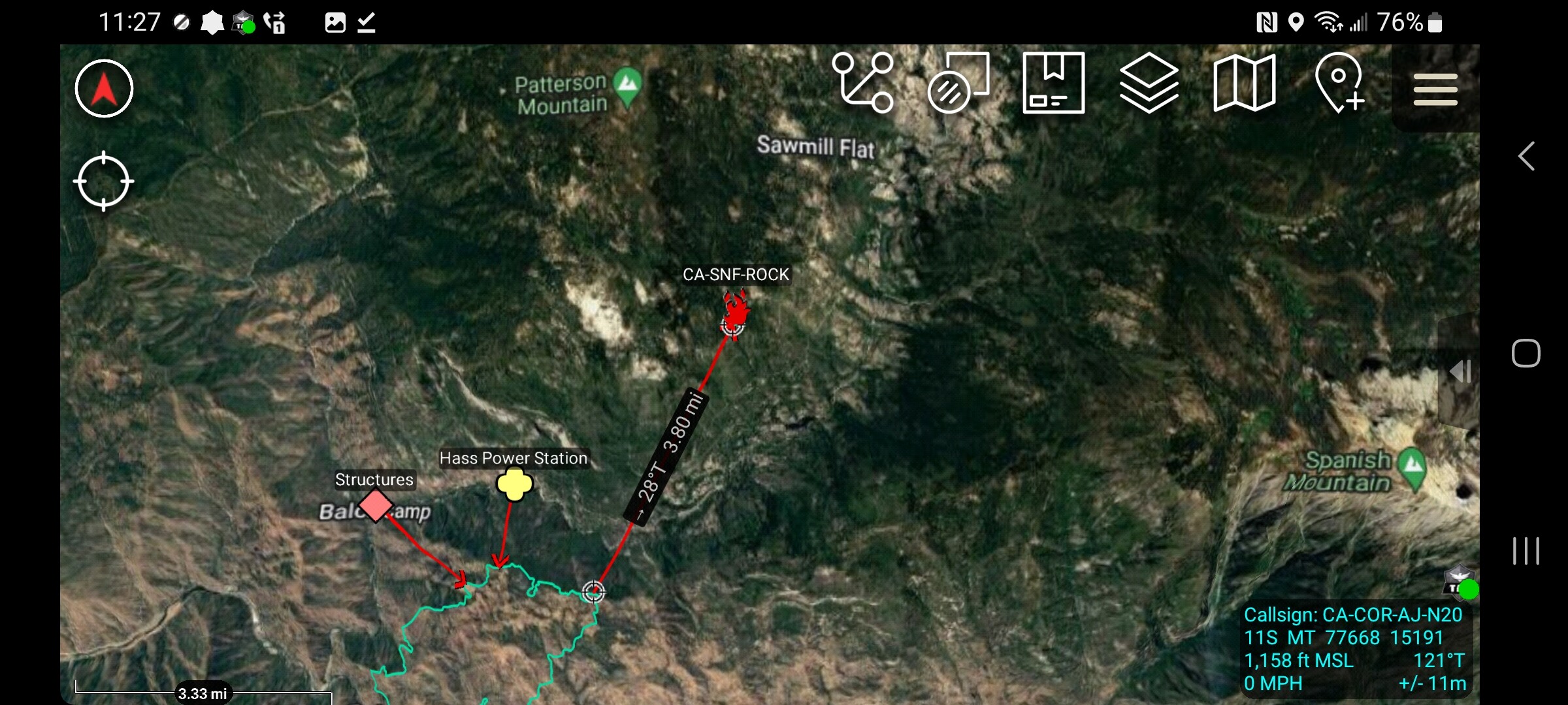
Don’t know if you like CalTopo:
The active heat signatures are 3 hours old but this shows most active fires. Zoom in or out and check the Fire History box on right for another overlay.
https://caltopo.com/map.html#ll=36.77897,-119.06154&z=11&b=t&o=f16a%2Cr&n=1,0.25&a=mba%2Cmodis_mp
4 Likes
(I live three miles by road, much less by crow flight, north of Greenville CA. CalTopo was a blessing for keeping up with the Dixie fire.)
4 Likes
AA15 is flying in to the Basin…
New AirTactics is 169.150
All the other Lighting Complex fires remains on the other AT frequency 169.100
5 Likes
Do they post Firis videos anywhere? the twitter is weeks old
1 Like
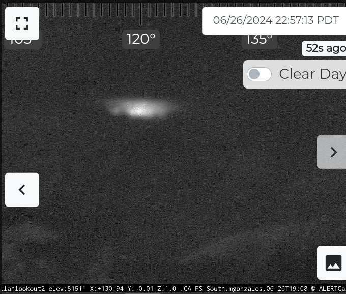
Not much I can see on the cameras but according to cal topo lot of heat down there
4 Likes