Not public, but depending on who you work for can be granted access.
Now that an IMT is in place, anyone know of resource requests coming?
Can you pm me?
Sounds like Resources on the rock are going to get moved out for crew safety.
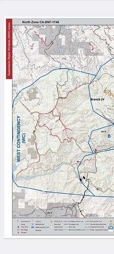
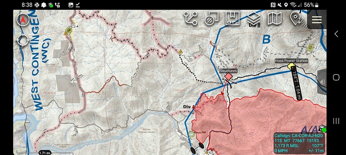
There is a dozer and hand crew cutting up along Secata Ridge (corrected) making good progress. This was discussed by IC and Division after the slop over the Kings River as a viable control line for the now bigger box.
I don’t find Tecata Ridge on maps yet.
It’s S and a little north of the split in the road that leads to balch camp
Correction due West of the split I just mentioned
So, It jumped/spotted across both the north fork and the main kings river today?
Thanks for the info: FFMedic1371. My map just says kings river and north fork kings
At that section there’s a south and north fork. The north comes down through balch and wishon reservoir. The south fork comes down from kings canyon. The point where the road turns to go up towards balch is the convergence of both forks
The southwest portion of the fire is getting into area that has not had fire history since the 30s and 40s. The white deer area has flatter topography, could be a future line going through there at the toe of the slope back to pine flat.
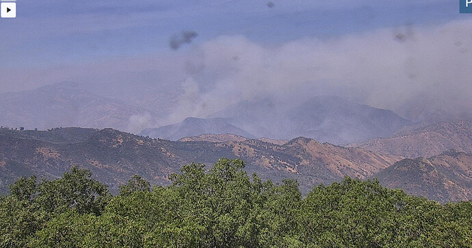
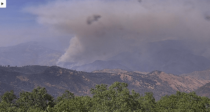
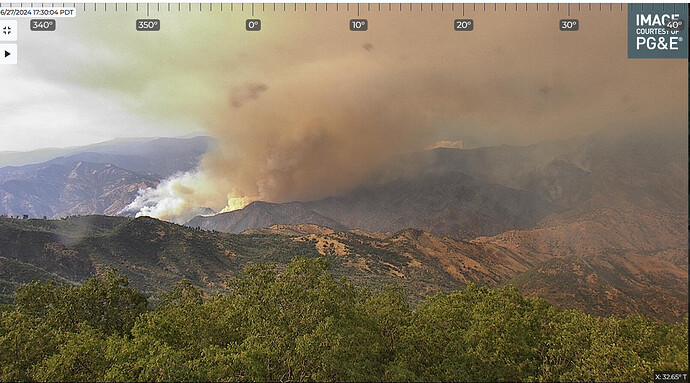
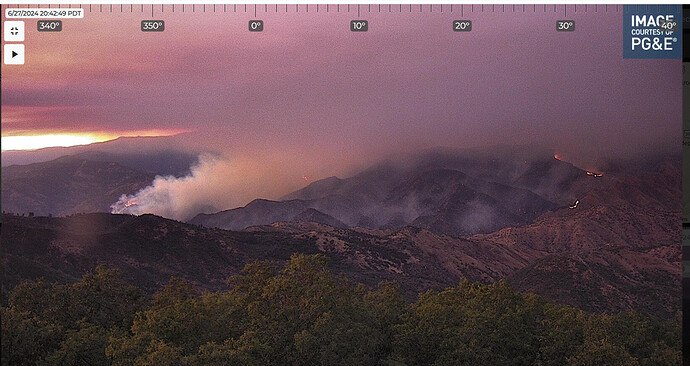
little active on the cam today but hard to see
Upper winds are pushing the smoke into the valley right now.
Most of the smoke pushed out over the foothills and north last night, the fire was active and progressed east along the south fork and down towards sycamore creek on the west side but it is still west of dinkey creek.
