AA15 completed transition with AA507 and in the briefing Div. M has started a firing operation in the Onion Springs Rd/Vermillion area. 1 copter in Div. M bucket work. 3 copters Div. N bucket work out of Work dip. 2 copters in Div. i, 1 doing bucket work the other in recon.
Smoke is minimal over the east and north east lines.
13:00 update: smoke generated by the Div. M firing caused thick ground smoke over the fire, grounding the air resources.
AA15 up over the fire. Auberry helibase smoked out for use of those copters. Will get 2 copters out of Mammoth Lakes to the east side fire lines. East side is just clear enough to use them.
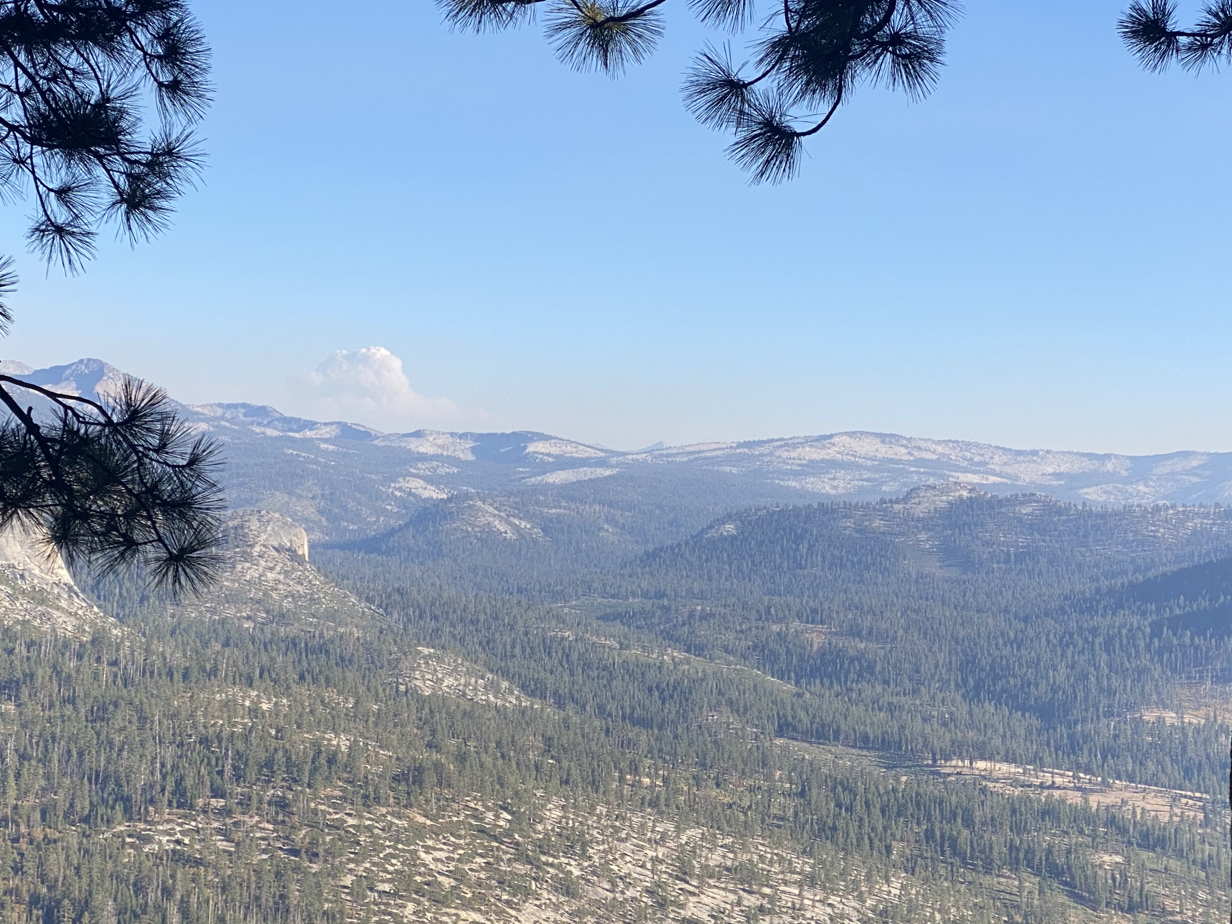
Copters were smoked out quickly this morning as the fire in Div.M made significant movement burning eastward though two sections of terrain (believe that’s about 1200 acres). AA15 reports smoke column from the heavy fire conditions is above 17,000 feet and can not see the ground fire. Going to place a request for the IR copter 507 to map the current position of the fires movement in Div.M. This fire not done with it’s progression.
Pulling the ground resources back is advisable due to the intensity of the fire.
There will be no aircraft ops this morning. Both Air Bases smoked out. Another recon flight scheduled for 1300. AA507 was dispatched to Redding area. Looks like no IR flights right away.
13:30 update: AA15 reports no way any rotor can work the fire due to heavy smoke obscuring the ground and heliports. Column of smoke from Div. M is pushing through 16,500 so, fire intensity around Junction Butte/Meadow/Creek (did hear the second term) is still active.
AA15 over the fire on recon this morning finds that the fire spread and intensity in Div. M is very low. The fire is progressing slowing west of Edison Lake towards rocky area, just where they expected it to go. Perhaps a natural fire break.
Div. P has many smokes along the edge of the fire but, if weather prediction holds for winds out the east, they should burn back into the black.
Div. N has some concerns and copter 525 and Helco are lifting off around 11:00 to recon and see if some bucket work would help the ground crews.
Sounds like fire growth today should be minimal.
AA15 will recon the north zone then return to FAT and come back up at 14:00.
14:00 update: copter 525 ran as helco and his recon found that smoke had once again obscured the ground for bucket work today. Concern is in the South Fork of the San Joaquin River since that is the greatest heat and heaviest fuel loading as the fire progresses through this piece of line.
AA15 over the fire in communications with ops and Div.M. Still smokey in Div.M but, not seeing any heat or smoke indicating underling heavy fuels on fire. Will have to wait for wind shift today to get a clear look at the fires progression.
Only mission is a recon around China Peak and patrol the north and east sides.
Doesn’t sound like much going on today for bucket work nor critical issues along the line.
Perhaps its holding or no more then creeping action.
There was a significant flare up in the san Joaquin river around the south fork confluence that’s no threat to anything. You can see the glow in the time lapse.
We had a pretty good scare early this morning when an interior island near cascadel woods decided to rapidly burn off. Looks like maybe some reburn going on in the river canyon where it crossed well over a week ago.
If you click fire activity it has pretty well filled in the unburned areas from edison lake to the san Joaquin river. The active northern portion is moving towards the granite east of Madera peak. The west side is doing well and PGE is out checking lines to get power restored.