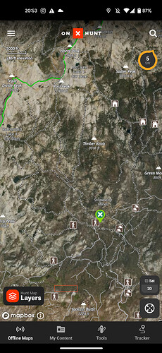
1 fire off dinkey creek road at markwood meadow
Shuteye peak called in a smoke and firms has 2 heat signatures at pumice butte west of mammoth, AA15 TANKER 3 and a helicopter are up there.
Was up in Lone Pine last night and the light show was very impressive. Many more ground strikes than I’ve seen from storms in the past.
Hopefully the wet stuff that came at the same time will keep most the fires away.
Fish IC for the one w of Mammoth
The fire at markwood meadow was a large cooking fire for an event.
AA15 is now over the Edison fire. 37.402167 -118.940667
Fish creek drainage is not only beautiful but would carry fire a long way. Hopefully this is suppressed quickly, I love that area
My son is at the Salt Wells BLM station and the pics he sent last night of lightning was crazy.
Hell be fine.
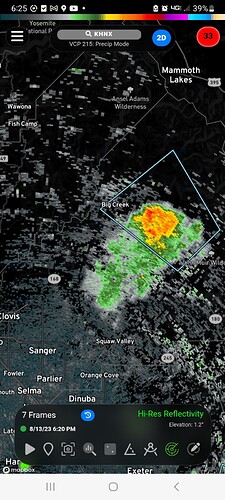
Looks like some good rain falling in that area.
https://alertca.live/cam-console/2722
EGP shows 8-10 strikes just west of Mammoth lakes in the last hour
AA15 still up on the INF side.
Shadow fire(INF)37.699950 -119.145000
Fish(INF)37.555500 -19.048000
Edison 37.402167 -118.940667
HT4VG and AA15 really putting work in going back and forth between fires and doing recon.
SNF has another start, far NE corner of the forest near strawberry mines
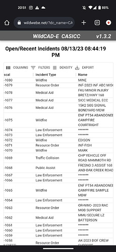
“Mine incident”
37.535000-119.295833
SNF E352 is enroute/on scene
Probably a single tree, creek fire went scorched earth as far as the eye can see there.
Probably so as is a lot of lightning starts. Sidenote AA15 up for recon 10 ago.
crew was hiking in last night
Two additional starts found by AA.
Medium size tree with a 40x40 ground fire, AA said it was hung up on a ridge with a lot of rocks on either side. Low priority they talked about inserting heli tack or rappellers
The other was a tree strike with ground fire.
Didn’t catch location for either 🤷
Cow 36.958167 -118.868833
Those coordinates put it towards Hoffman mtn SE of wishon reservoir


