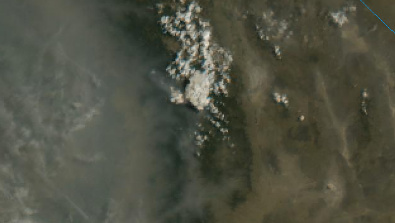
Spotted the heat showing on the satellite at the fork of the Kern and little Kern rivers near castle rock. Has some boots on the ground and AA410 was also checking it out
Should show on this camera as the day goes on.
Spotted the heat showing on the satellite at the fork of the Kern and little Kern rivers near castle rock. Has some boots on the ground and AA410 was also checking it out
Should show on this camera as the day goes on.
3 miles east of giant Sequoia National Monument, 40 acres, 0% contained.
Showing from Jordan peak, it’s starting to clear up a little.
https://rockyags.cr.usgs.gov/cgi-bin/camHist_movie.pl?date=20200821&camera=jordan_peak_2&lastFrame=true
Inciweb link:
https://inciweb.nwcg.gov/incident/7048/?fbclid=IwAR0VeBftRSVyXmuBrVnSQe3pVeW0LrrBoqtR3y3PtGG_LfMH__2mE-19Ymw
200 acres, 0% contained, slow to moderate rate of spread.
Showing fairly well on blue ridge and Shirley peak cams with IR.
http://www.alertwildfire.org/sierra/index.html?camera=Axis-ShirleyPeak1&v=81e002f
AA fly over: https://twitter.com/JB_B3118/status/1297382703507988480?s=20
Another fire in the Kern drainage. Not surprised. Getting to this on the ground via Lloyds Meadows is not horrible. Just hot. Good water sources off the Little Kern and Freeman Creek.
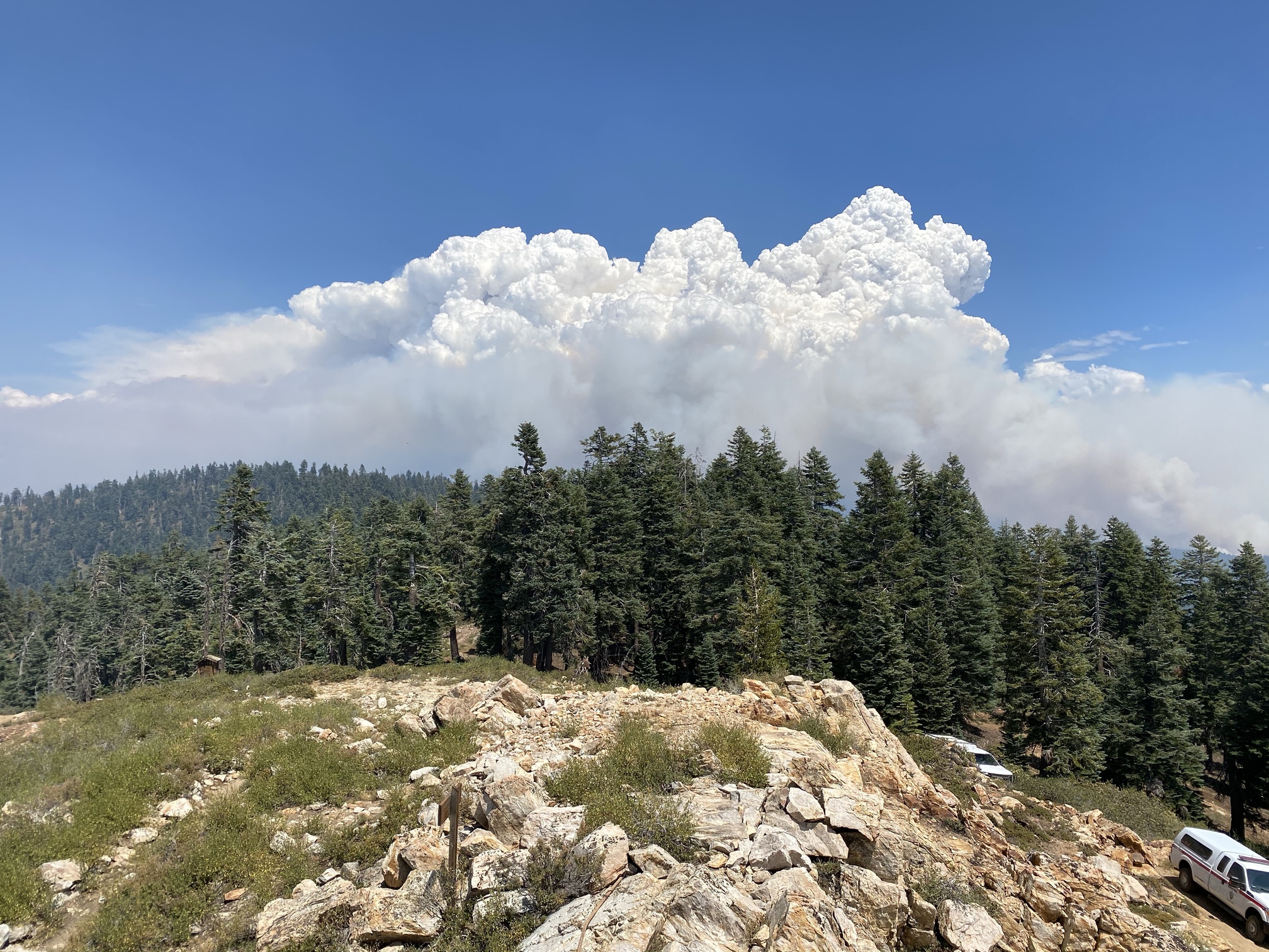
Large pyrocumulus over the fire.
Tulare Co Sheriff issuing voluntary evacs for Ponderosa and Camp Nelson.
Was looking at my truck earlier there was ash on my truck!
I would not was it just yet.
Haha, maybe I will in November.
What is the location of the ICP and Base Camp since the team has assumed command?
ICP is at the Porterville Fairgrounds. Other camps are still to be determined based on fire growth.
Nice shot. Did you get get some good Sierra Pinstriping driving in? I was on that road last month and a bit narrow in spots. Hope they can keep fire out of all that old growth Red Fir.
That section is earning it’s name and that’s hell for sure creek.
Very true! And right next to Hells Hole. Great fishing.
I was on a fire there in 1961 (Betty Fire) and the name is sure correct…
Just looking on esri app this area didn’t burn during the McNally fire and the fire is hitting some recent wfu scars.