State ID:CA-
3 letter designator:SQF
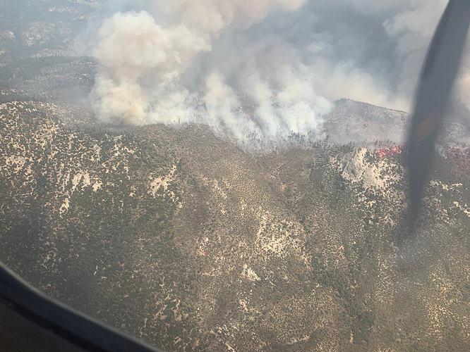
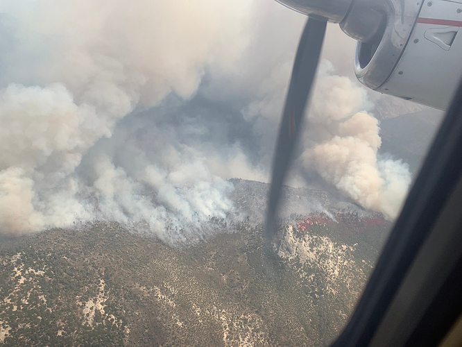
Fire name: Castle
Location: Little Kern river Golden trout wilderness
Reported acres:400
Rate of spread: moderate
Report on Conditions: steep inaccessible terrain
Structure threat:no
Resources:6 hand crews and various aircraft
Hazards:
Weather: possible thunderstorms
Radio channels:
Scanner link:
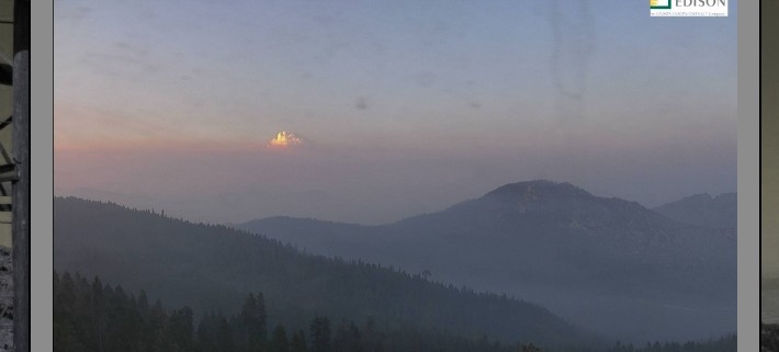
Webcam link:https://rockyags.cr.usgs.gov/cgi-bin/camHist_movie.pl?camera=jordan_peak_2&visible=false&date=20200822&frame=64
Agency Website:https://inciweb.nwcg.gov/incident/7048/
Just above me a little ways located in the Castle Rock, Golden Trout Wilderness area. Heard they had progress stopped however forecast of thunderstorm next few days could be a big issue.
They stopped progress to the south on a ridge with retardant but it’s still moving northeast and looks like it is heating up on the satellite.
It’s on the move, the inversion has lifted.
There’s another fire further up the little Kern that is starting to wake up now.
Tankers 75, 76, and 78 are working with AA410. AA340 inbound to Porterville.
CIIMT12 Nobles just picked this up. They transition out of the Dome tonight at 1800.
AA340 and lead 49 coming in. It looks a bit angry.
Anything new on the one further up the little Kern?
That one is the shotgun fire, going to let it burn for now because of location and resource availability.
like shot gun approach. very good.
516 acres per inciweb.
Now 2000 acres and shotgun is 200.
Using Modis and VIIRS this morning, I mapped Castle at 820 ac, Shotgun at 166 ac, Fish Creek at 52 ac and no heat signature for Bear 2 or Ponderosa.
TF 5182 enroute from porterville. Sounds like some evacs are happening in ponderosa area.
That is why the tankers were working the ridge east of ponderosa yesterday.
any specifics?


