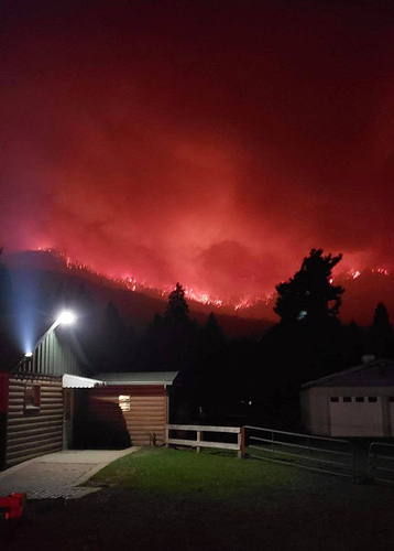
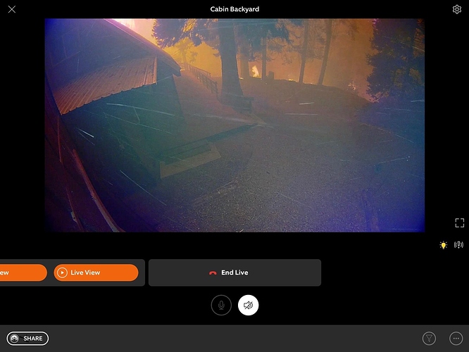
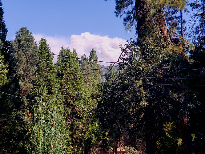
Active fire visible from blue ridge.
http://www.alertwildfire.org/sierra/index.html?camera=Axis-BlueRidge1&v=81e004f
The fire is at the edge of Mountain Home State Forest and has spot fires across summit road.
Looks a little angry this morning
http://www.alertwildfire.org/sierra/index.html?camera=Axis-ShirleyPeak1&v=81e004f
not good, need to keep it east of Mt Home, and the Wishon cut off and Black Mt. I can’t recall any Fire history on that Mountain and it’s Thick.
Error 404 won’t open it.
Not sure what happened, this should work. This map says 1000 hrs so this must be updated as of 10:00 this morning.
That seems to be a bit outdated since the fire has already reached Camp Nelson, Sequoia Crest, Alpine village and is now bumping Mt Home state forest and spotting. Old map?? I don’t think to could possible be 1000 hrs today, Maybe 1000 hrs on an earlier day?
If you look at the bottom of the map it’s dated for 9-13-2020.
Yep, saw that, but to me the map does not reflect where the fire is? It’s way past where the map shows the perimeter. Maybe an issue updating the map?
Yeah i agree, you think it’s because the fire has progressed so fast they cant keep up with it on the map.
Have no clue, could be a technical issue, dunno, but the map is not correct.
TUU is working near mountain home camp utilizing CDF Command 1. Reporting multiple spots.
Per AA largest spot is 15 acres.
Castle/SQF team briefing link below. Fire ran 4-6 miles west last night. They are no longer willing to put personnel on the ground in the communities due to safety issues. Jordan Lookout and communications assets were overrun and damaged, not stated to what extent. Sounds like Sequoia Crest and Alpine are gone. Team reports holding the fires southward progression at the 190 for now, hoping to defend Camp Nelson.
Looks like the map in that briefing is the same map I posted so that should be the latest map however not accurate.
This might help on up to date spread and perimeter:
https://caltopo.com/map.html#ll=36.19898,-118.54867&z=12&b=t&o=f16a%2Cr&n=1,0.25&a=modis_mp
The heat signature I noticed last night increased quickly on the GOES17:
https://rammb-slider.cira.colostate.edu/?sat=goes-17&z=4&im=18&ts=1&st=0&et=0&speed=130&motion=loop&map=1&lat=0&opacity[0]=1&opacity[1]=0.5&hidden[0]=0&hidden[1]=0&pause=0&slider=-1&hide_controls=0&mouse_draw=0&follow_feature=0&follow_hide=0&s=rammb-slider&sec=conus&p[0]=geocolor&p[1]=fire_temperature&x=7659.919921875&y=3847


