I spotted this one on goes17.
I think Tobias peak has it. ALERTWildfire | Sierra-Foothills
Here’s the coordinates 36°16’21"N 118°32’49"W
I spotted this one on goes17.
I think Tobias peak has it. ALERTWildfire | Sierra-Foothills
Here’s the coordinates 36°16’21"N 118°32’49"W
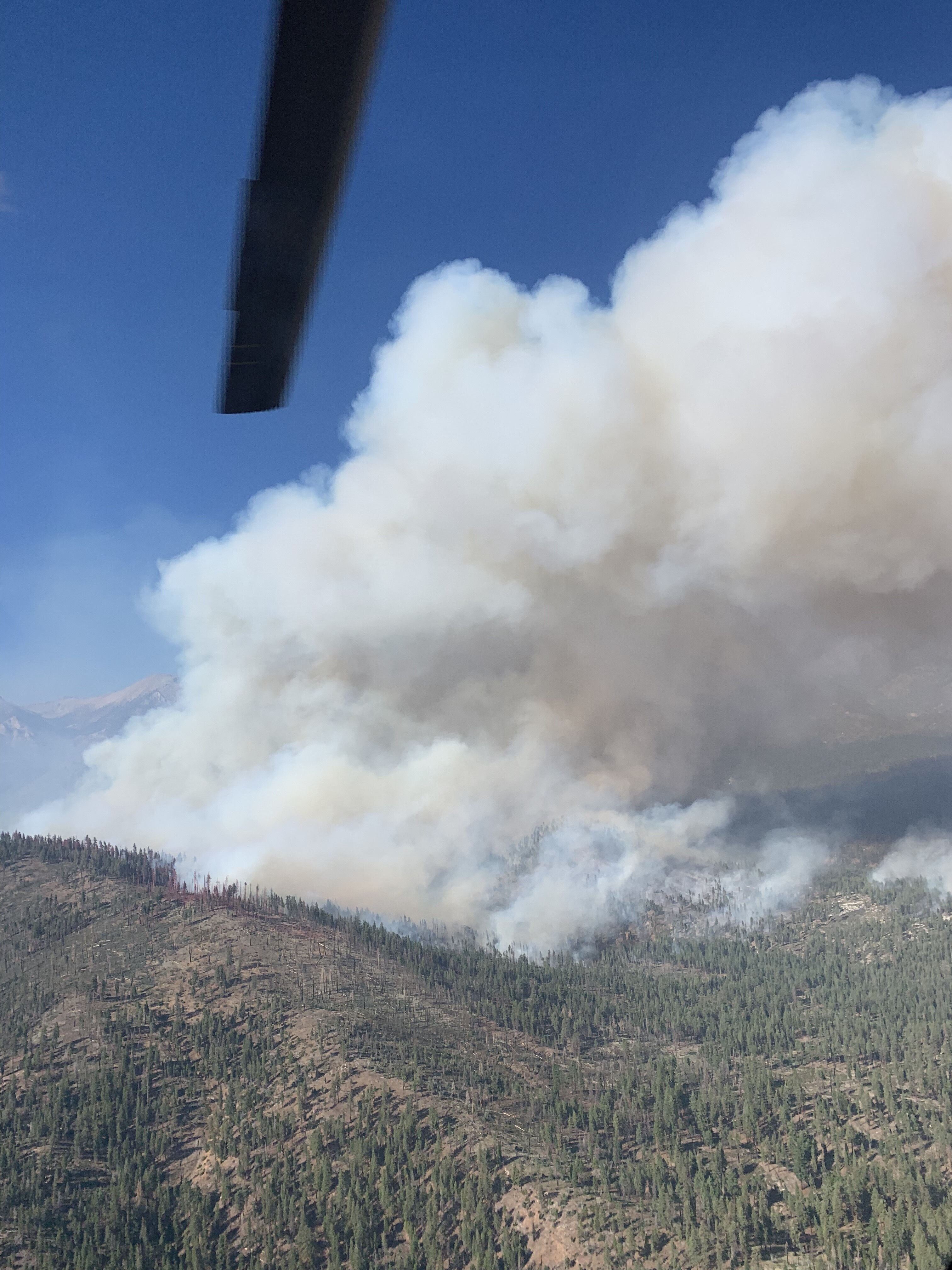
That things is GROWING.
Smoke coming over Maggie mountain on the left of the screen.
http://www.alertwildfire.org/sierra/index.html?camera=Axis-BlueRidge1&v=fd40731
Copter 523, I believe it was, flew the fire reports: fire active on all sides, 70 acres and 10’flame lengths.
Burning in the footprint of the 2011 Lion Fire. More recent history to the south and east.

A good portion of the 2011 Lion fire was low intensity, and being 10 years ago, maybe have quite a bit of regrowth. There were sections that had burned hot, but as a whole it didn’t.
As of 0838 per South Ops News and Notes:
· 100 acres, brush and timber, 0% contained
· Moderate rate of spread
· Burning in the Golden Trout Wilderness
· 70 degrees, 34% RH, winds NE @ 2 mph, gusts to 13 mph
H523 and Scorpion 6 type 2 IA crew assigned per wildweb.
Copter 532 flew it again this morning and still growing on all sides in heavy fuel loading of dead and down. Standing timber up hill. The dead and down fuels down hill.
He stated what Wildweb has it, 100 acres.
Until it roared into the sra at coso junction
That was the Clover meadow fire
Thought it was Lion, so my apologies
AA52 over the fire. Requesting 2 type 3 tankers to an initial point (IP). I checked the Dixie air ops map for that naming convention.
Establishing an IP already… planning ahead for a few days??
Helispot has been built by hand crew.
Copter 532 has been supporting ground crews for a few hours with water drops.
Time to suppress or control efforts starting today.
Caltopo map:
https://caltopo.com/map.html#ll=36.28491,-118.56445&z=13&b=t&o=f16a%2Cr&n=1,0.25&a=mba%2Cfire%2Cmodis_mp
Initial Point is correct. It’s an area that’s established by a LAT/Long or a known landmark where all fixed wing report to prior to coming into the fire. IP’s can be established by the AA at any point of an incident to ensure safe and smooth air operations.
Two additional heavy tankers enroute. LAT’s 102 and 168. Lead plane C05 off Porterville.
AA reports 350 acres.
4 hours latter and I still hear AA up running round robin on all 4 tankers. That’s quite a load of retardant put down. Coming to cut off…
Update 21:00
Found a cams that have the fire. Had to wait til night time to see glow. Is so poor this is not going to be seen during the day, probably. Blue mtn. may have it too once it clears.
http://www.alertwildfire.org/sierra/index.html?camera=Axis-TobiasPeak1&v=fd40731
http://www.alertwildfire.org/sierra/index.html?camera=Axis-BlueRidge1&v=fd40731
It’s making a good run east.
http://www.alertwildfire.org/shastamodoc/index.html?camera=Axis-TobiasPeak1&v=fd40730
1,969 acres, no containment listed.
Was listening to the IC this morning and he was inserted with two hand crews. Stated the lines they put in along with retardant has held over night without fire growth. Improving the retardant drops to better stand up to the fire’s impact is priority.
Heli tankers few the fire today as did a few fixed wing, for a short time.
Crews pulled back tonight to rest safely away from the fire.
Seems like good progress here. Requests for over head, UTF.