State ID: CA
3 letter designator: TCU
Fire name: GANN
Location: SOUTHEAST OF HOGAN LAKE, CALAVERAS
Latitude (Decimal Degrees):
Longitude (Decimal Degrees):
Reported acres: 1900
Rate of spread: Moderate
Report on Conditions: Initial - 30 acres brush, DROS
Structure threat: Yes
Resources: Multiple
Hazards:
Weather: Fire Weather
Radio channels: CDF CMD 12
Scanner link:
Webcam link:
ALERTCalifornia - Upper Bear 1
ALERTCalifornia - Fowler Peak 2
Agency Website:
3 Likes
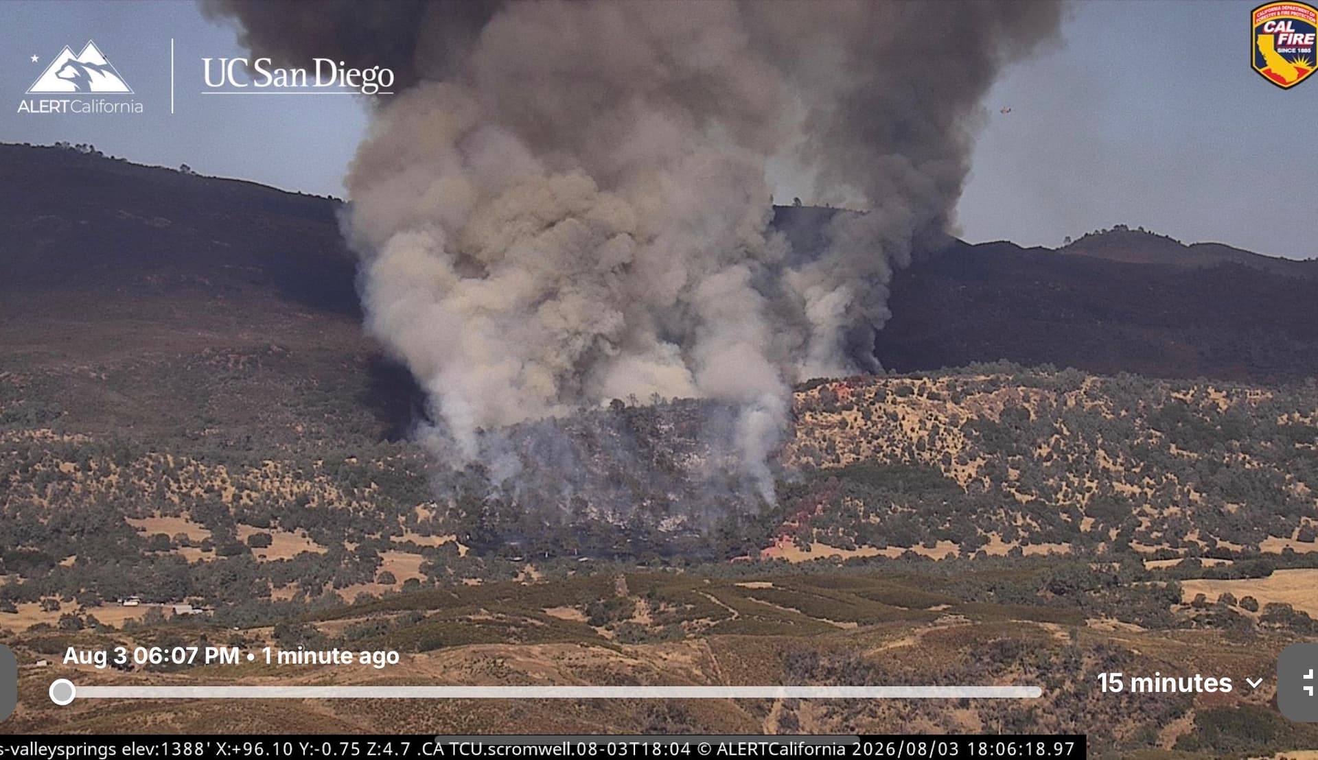
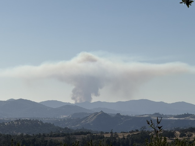
Hogan Dam Road near Gann Road between Valley Springs and Copperopolis. They’re still working into it but based on the column additional dozers and 2 type 3 and one were ordered. Missed what else was ordered. AT said Potential for 200 acres.
3 Likes
30 acres per air attack.
2 Likes
2 Likes
3 Likes
Temps on this fire between 100 and 105 depending on the raws stations. I’m betting 105 in that spot. Going to take the first in engine 30 minutes to get there. Had a few fires there and it’s not pretty. Thick brush, Oak woodland, grass. Spots can be rocky but mostly good dozer country.
Gets on the Pool Station side of the road lots of Ranches and Houses. Fight a lot of fire in that country and fire has a hell of head start running up that west slope. Circle Twenty subdivision could come in to play if they can’t slow the rate of spread. Going up on the hill above my house to take a look. Hopefully they can slow it down on the ridge line with some drops. Heats going to be hard on the troops.
9 Likes
AEU Charlie enroute.
1 Like
9160C from SCU immediate need en route
3 Likes
4 additional dozers 20 engine and 8 crews
4 Likes
SCU sending 2 dozers
3 Likes
4413 assumed Gann IC…2 dozer ST, 2 handcrew ST and two engine ST he ordered. Plus five more agency B engines immediate need. He’s jumping on this big time which is good. We had some old Dozer line cut in on Bear Mtn and Circle Twenty but that has to be grown over that was over twenty plus years ago. Not a bad turn around time for S-2T out of Columbia and also for the ships from Hogan Lake. Maybe a few pounds if there closer and if they have water.
5 Likes
6 copters on order
4 Likes
Fires established across the 2 track .
Multiple spots across
3 Likes
Looks like T122 & T121 assigned
1 Like
Branch 10 - 10 additional engines
2 Likes
10 additional on-top of the strike teams that already got sent out?
1 Like
Calling it 200 to 250 acres pushing up bear mountain.
2 Likes
Looks like the humidity will peak at 30% tomorrow morning.
3 Likes
Mapped at 310 acres
2 Likes