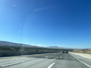
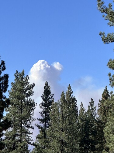
East of Sierraville and Sierra Brooks subdivision. Near Bear Valley Campground.
20 acres, difficult access. Mod to rapid ROS 15-20 mph wind
Aircraft assigned: A230, C5, T12, T40, T82, T88, T89, T93, T03, T168, T210, T830, T835, T840, T862, T864 T868, T912, 1HX, 4VG, 9CH, 50CH, 1NC (night HLCO)
I think that area may have last burned in the Cottonwood fire in 94’.
Indeed it did, that was many years ago. Lots of regrowth of brush/grass.
Bear Airtac reporting 30-40 acres burning upcanyon toward Sierra Brooks.
From the camera view, it does not appear to be developing a great deal of energy. While the column is laid over, most like from the wind, it is not pushing hard and is pretty lazy. Hopefully they can catch it before it decides to get serious about it
It’s slowly trying to build it looks like
If it has doubled in size in 25 mins… it’s starting to move.
From Watch Duty:
An evacuation order has been issued for Zone SIE-E031 on Genasys. This zone can be viewed on the Watch Duty map or at the Genasys Evacuation Map.
It is very windy along the Sierra Front. Occasional gusts to 40 in Reno.
I would be worried if that were my fire.
That country has a way of reaching out and surprising folks. Loved my 3 years in Sierraville and really enjoyed the 78 hr IA shift on the Cottenwood
Nearby RAWS shows wind 4G16 from WNW
https://www.weather.gov/wrh/timeseries?site=TT142
RAWS near Sierraville showing 17G39 SSW
AA requesting two additional LAT’s.
AEU. Sending 9270c to the Bear
In addition to the Charlie ST above, AEU dispatched a Lima ST about 10 ago. Believe is was 2741 and 42 to the Bear.

From Northbound 395 entering Reno
NEU sending 9230c to the Bear
The fire has been trying to stand up and move on it’s own terms. It is getting closer and closer. From the additional orders that are being placed it seems like the folks on scene know that it is going blow.
Any online scanners for this one ?
