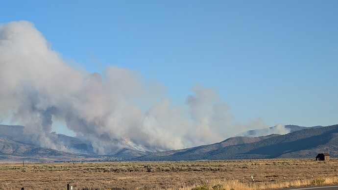
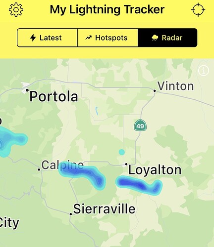
I couldn’t tell you for sure
Confirmed on check back that Engines 2772, 2782, and 2762 are part of the ST. I believe that other two are 2766 and 2761 (but we have a speed reader in Camino ECC!)
Not sure the entire fireline is a mile yet, but it will spot.
Live in Reno, and I saw the event about 3:45 p.m. (only a few minutes after Sierra Interagency posted it). Cap Public Radio in Sacramento and KUNR in Reno reported 200 acres at 5:00 p.m. and out of control at 6 p.m. WInds are fairly steady, and gusting strongly in Reno / Stead where a couple of aircraft rolled out. Hopefully, winds die at sunset.
Looks like alignment with wind and slope!
You called it - I saw the spot when I went to look at the fire (3rd one in my neighborhood this year) and took a few pictures. It’s aligned and there’s a lot of wind but should be dying down soon.
1183 acres from sensor aircraft.
Any word on resource orders coming down the pipe? Also, I haven’t seen a post on where camp is located. There’s usually someone that asks on every post which is really helpful.
2 more crews, GRB2 and PGV2 from AEU
7:25 pm updated from North Ops: 1,183 acres grass and brush, 0% contained. Active fire behavior with short-range spotting reported. Red Flag Warnings in effect for gusty winds and low RH through 2000 tonight. Evacuation Orders and road closures in effect for the area. The fire is in Unified Command with the Tahoe National Forest and CAL FIRE Nevada-Yuba-Placer Unit.
1,391 acres, Nice inversion on the fire early this morning.
Do u think it will wake back up?

