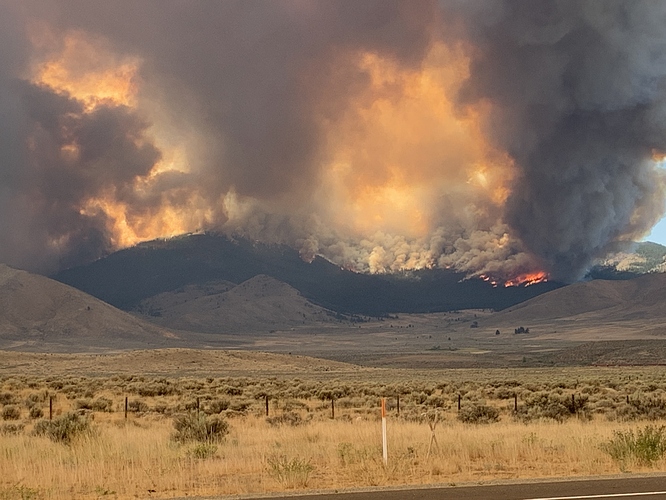
My sister lives in Sierra brooks by the heal and just sent this picture of Scott’s flat road near hallelujah junction. Big dogs eatn now.
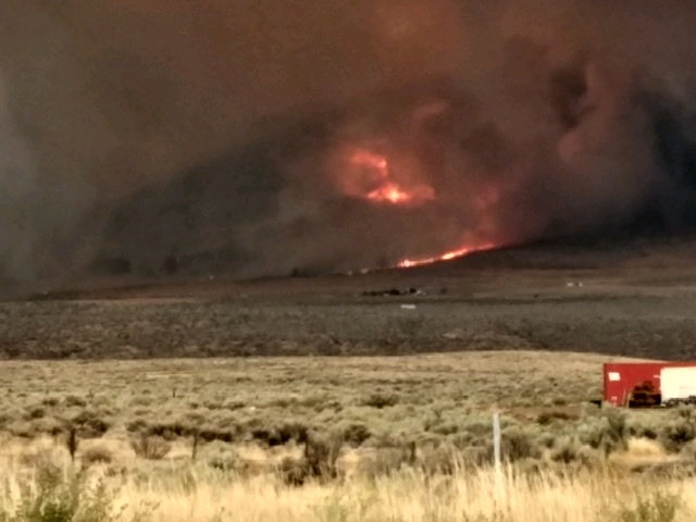
S/T 9220H, 9221C, and TD2244 Assigned.
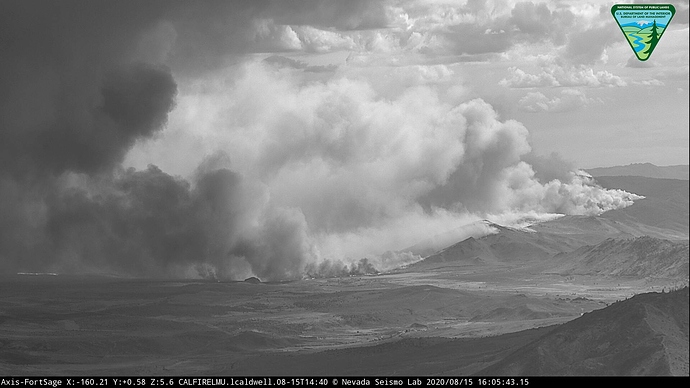
The column behavior on the last hour on the web cams is incredible.
http://www.alertwildfire.org/shastamodoc/index.html?camera=Axis-Babbitt&v=81e004f
http://www.alertwildfire.org/shastamodoc/index.html?camera=Axis-Sagehen5&v=81e004f
Plenty of private land but it is all Fed DPA on the map except LRA ag land on the valley floor.
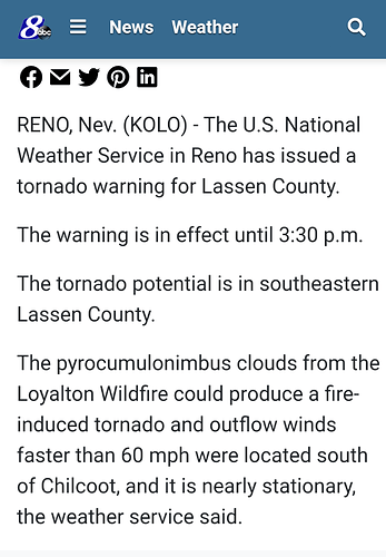
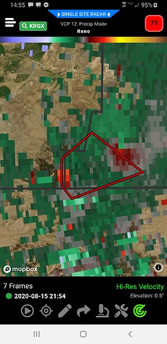
Reno NWS just put out a warning for a fire induced tornado.
Evacuations issued for Chilcoot, Scott Road.
Per CHP CAD, West bound Hwy 70 is closed.
Watch the time lapse on the Constantia cam!
As well as the Beckwourth, the east side just took off.
Looking at the Portola camera, I guess closing WB 70 makes sense…
http://www.alertwildfire.org/tahoe/index.html?camera=Axis-NorthPortola&v=81e004f
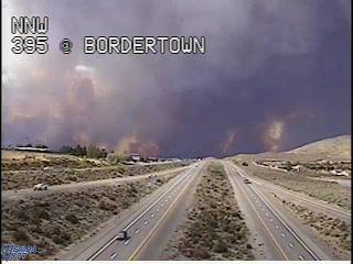
has fire crossed hwy 395???
I don’t think so, as Hwy 395 is not showing as closed on CHP CAD.
395 is closed between Hallelujah Junction and the Ag Check Station.
I’m surprised the sign on 395 at the Bug station doesn’t say that.
It is most definitely close to 395.

