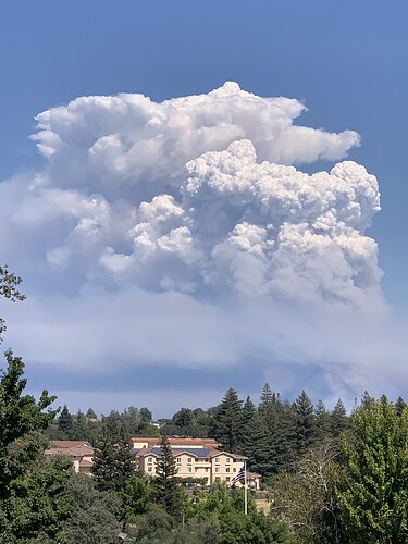
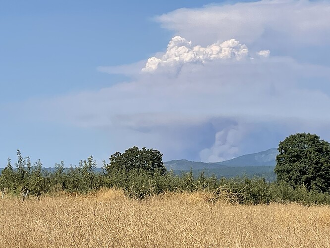
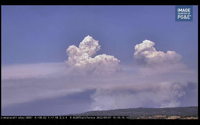
Per EDSO, evacuation ORDERS for Volcanoville and evacuation WARNINGS for Quintette.
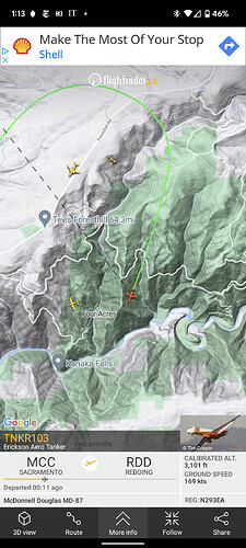
AA just ordered a lead plane and 2 large Air tankers, for the West side of the Mosquito incident.
Edit.11:29 AA to lead plane said he’s checking on approval to drop along North side of Foresthill Rd.
Looking for another plane. Sounds like they have a 737 committed loading at MCC.
AA Now trying to get approval for at least water, to get some depth
“I’d really like that in my back pocket, before the hottest part of the day”
Solano County 2350A Enroute
Grass Valley tankers timed out this evening, 88 earlier and 89 coming into the barn now. T85 released empty back to Santa Rosa.
AA has lifted the no-divert on the tankers that was in place since about 1440 this afternoon.
2 posts were merged into an existing topic: CA-TNF-Mosquito?? (Oxbow)
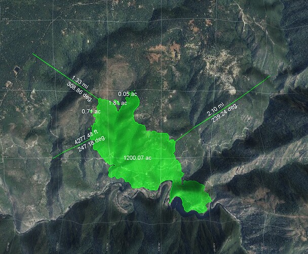
5,705 Acres as of 2039hrs
The FIRIS data from 1600 has the fire on the ENF, but has not yet crossed the river into El Dorado County.
It appears the county line follows the Rubicon beginning in section 3, and the Forest boundary sticks to the Middle Fork American
Thanks for the update.
Lots of air tankers timed out today.
Yes, Placer/El Dorado county line and FS Tahoe/Eldorado NFs boundaries don’t follow each other. Bunker Hill LO on ENF is a couple of miles into Placer Co. If I recall correctly, county line is down around the Airport Flat CG area. The FS and county boundaries get closer as you go west, down the Rubicon, but don’t ever match each other (I think?)
Good morning. Addl extended freqs assigned today…
Air/Ground 166.6125
Air/Ground 159.405 (192.8) CDF Tac 22
Victors 132.875
Two additional A/G’s, not sure if the original was working for them or not (interference) or they’re zoning two tactical A/G’s and leaving one for command, etc. Without the 205 not sure on actual assignment.
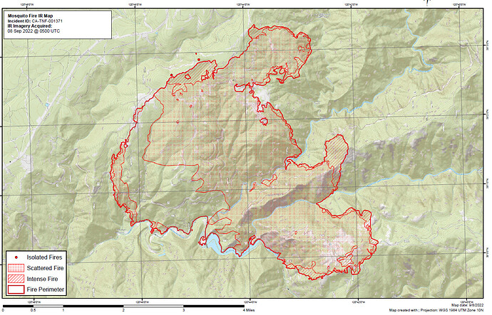
NOPS morning update puts it at 6,870 acres 0%
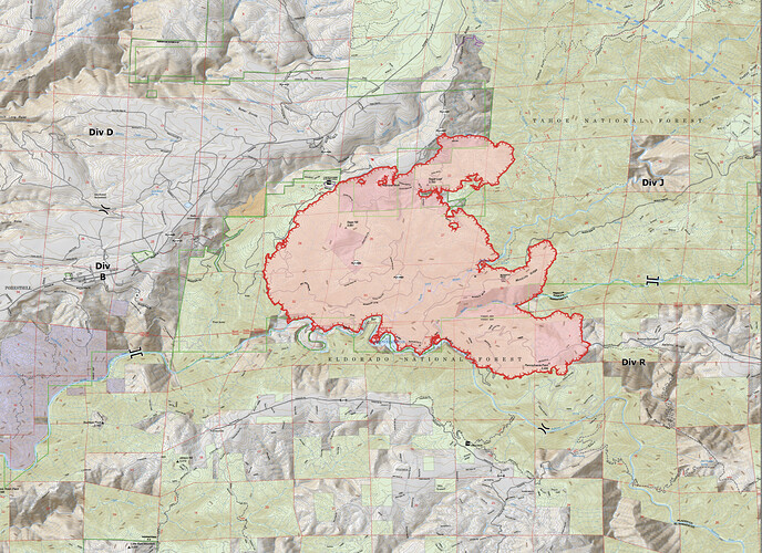
Ops Map for Today (sorry no time to run the original file through the Deluxe Fire Map Resizer Machine this morning, so screen shot is what you get.)
