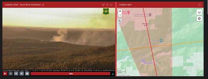
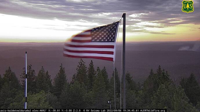
https://www.alertwildfire.org/region/northcoast/?camera=Axis-BaldCA
AA reporting 4-5 acres MROS
AA ordered two LATS and a type 2 helicopter. Hopes to pick it up going direct with crews. Few spots out in front. 5-7 acres now. Best access, Blacksmith Flat rd
Note: Fire burning in the area of the Middle Fork 230KV line that runs from MFPH and RAPH to Gold Hill sub in Folsom. That’s 200 MW of energy into the local grid in jeopardy.
Two tankers, it’s got to be nearly cutoff time.
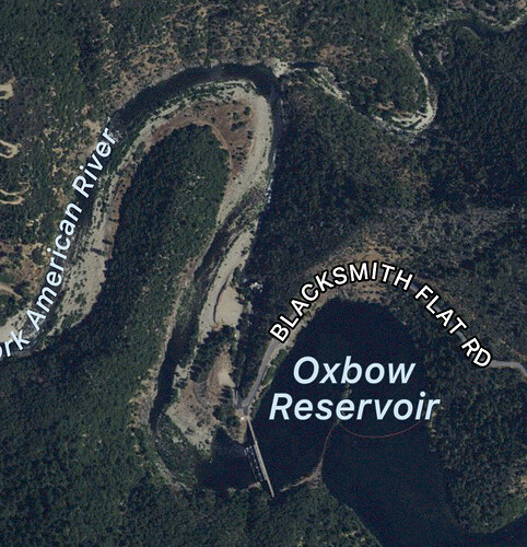
Looks like oxbow reservoir, Ralston picnic area
Sounds like he’s got 2:rotors now, picking out of ABay. Fire is very close to El Dorado National forest and TNF line
Per AA North side slope is getting too shadowy for type 1s to do much work. Looks like he’s lining up T89 to get one more drop before pumpkin time
That’s where I’m locating using the cameras. Not showing all that well on Bunker Hill cam though. I can find a Blacksmith Flat on the map, but well west of the fire. Can’t find a Blacksmith Flat Road at all, though up in that country that’s not all that surprising. Anything burning up there is going to be in steep ugly country.
Blacksmith flat is off of Mosquito ridge. It goes down to Oxbow and Ralston PH, just above Big Circle bridge. Slide in 2017 closed it just above Ralston PH
Per AA 8-10 acres Slow ROS order heavy on the handcrews but we can definitely pick it up
Found it. It’s showing as Forest Rd 23 on the map I’ve been looking at.
Just an FYI, “helco” is a helicopter Air supervisor… I think you mean there are two copters working. Early in an incident, with few copters on scene, the Air Attack runs the copters.
Thx for the correction
AA hoping to get one more drop from T88 saying only have 3 more bucket drops before the 2 rotors need to RTB. Holding off on dozer due to the steep country
Mods- incidents name is Volcano fire per wildcad
Good picture of the fire posted on Watch Duty.
Released T88 loaded, too dark to drop


