
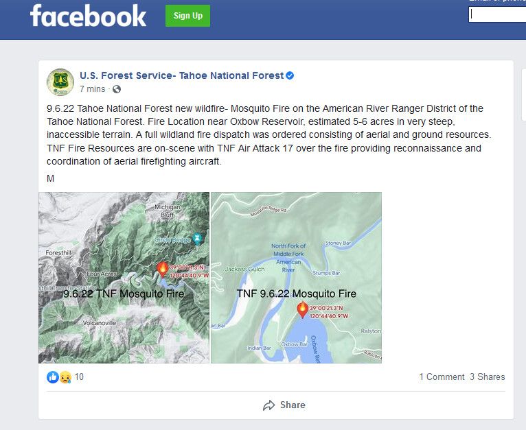
Blacksmith flat is off of Mosquito ridge. It goes down to Oxbow and Ralston PH, just above Big Circle bridge. Slide in 2017 closed it just above Ralston PH
8 Likes
Per AA 8-10 acres Slow ROS order heavy on the handcrews but we can definitely pick it up
3 Likes
Found it. It’s showing as Forest Rd 23 on the map I’ve been looking at.
3 Likes
Just an FYI, “helco” is a helicopter Air supervisor… I think you mean there are two copters working. Early in an incident, with few copters on scene, the Air Attack runs the copters.
5 Likes
Thx for the correction
1 Like

AA hoping to get one more drop from T88 saying only have 3 more bucket drops before the 2 rotors need to RTB. Holding off on dozer due to the steep country
4 Likes
Mods- incidents name is Volcano fire per wildcad
4 Likes
Released T88 loaded, too dark to drop
2 Likes
That clearing is the 230Kv ROW.
AA says white cloud copter can’t PU his crew due to turbulence.They’ll need a ride out.
Concerned about right flank and said he’ll see 'em in the morning.
Note: renamed fire to Mosquito incident on the TNF side. Per watch duty
1 Like
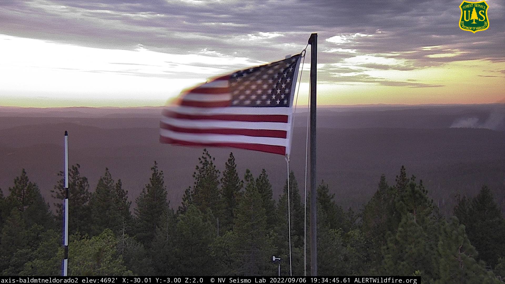
Bald Mtn. camera went down about 19:28. It’s showing on Bunker Hill, but not well.
2 Likes
Hotchkiss Hill cameras have a bead on it:
https://www.alertwildfire.org/region/tahoe/?camera=Axis-HotchkissHill
2 Likes
Hopefully the down canyon winds behave themselves tonight…
4 Likes
Pertinent to SA on this fire, what is the status of the Volcanoville camera, which has a last image date of 2022-06-29: ALERT Wildfire
1 Like
Life safety alert just went out for nearby Hill incident for thunderstorms with downstrikes and 20+MPH outflow winds, which may have impacts on this fire due to proximity.
4 Likes
Short video clip from AA on Cal Fire NEU Twitter
2 Likes