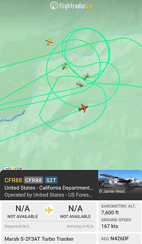
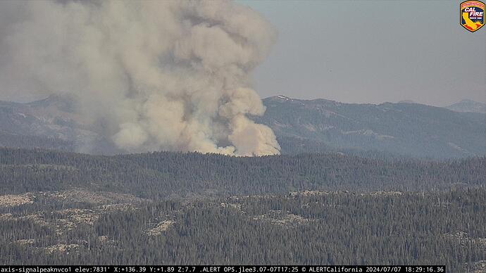
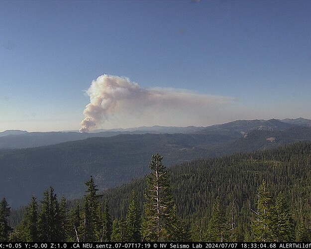
New start on the TNF, 1/2 acre rapid spread. Royal Gorge area south of Soda Springs. Looks to be in the head waters of North Fork American River.
Grass Valley S2’s, White Cloud Helitack and and 2 Chinooks out of Truckee.
TNF Fire Net tone 1 is command 168.175
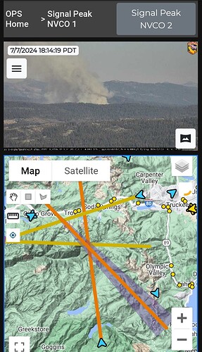
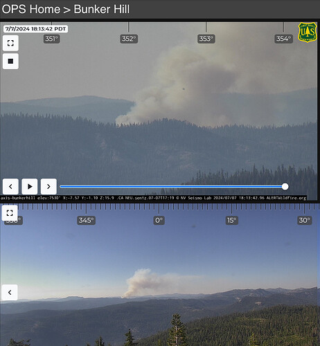
https://ops.alertcalifornia.org/cam-console/1867
The fire is estimated at 4-5 acres w/ moderate to rapid rate of spread & updated potential for 500 acres per Incident Command info from watch duty
According to GPS location from Wildcad puts this just south of the North Fork American River, along the Palisades Creek Trail
Looks like it’s getting some legs. Those are my old stomping grounds. Not a great place for a fire to get established.
Rugged & steep in that drainage…if it gets a head of steam on it and pops out of that drainage, it could make a run towards Serene Lakes
It’s cranking for sure as of 1818
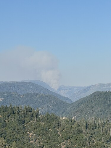
yeah that was from my house about 5 mins ago
Hope IC pulls the big red handle sooner than later
Let’s see…Incident Base at the old Foresthill Mill site? Blue Canyon? I think they’re going to need something.
Talk of evacuating The Cedars community.
Size up
RROS
100 acres
The fire is now approximately 100 acres w/ high rate of spread, it will bump the ridge in the next 10 minutes w/ high probability of it spotting over per Incident Command. Air Attack requesting a lead plane + 1 additional large air tanker.
INTEL-12 just about on scene should have a map soon
Camera cross:
Headed for the backside of Mt. Lincoln/Sugar Bowl.
Near SRA red land soon?
