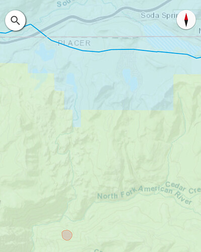
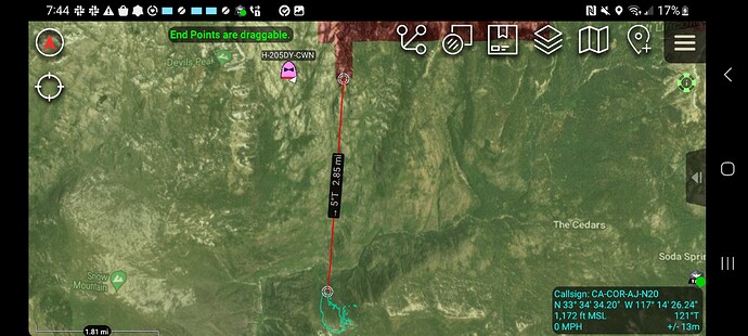
Worse case scenario is up into Serene lakes. Mt Lincoln has a lot of granite up top
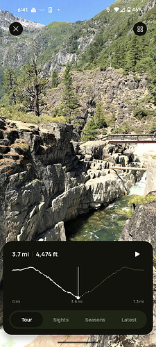
Here are some pics of the trail in that canyon to give you a idea of the start location and fuel type. Looks like a pretty epic PT hike.
Right now it doesn’t appear to be headed towards Sugar Bowl area and is currently 5.5 miles away.
Yep. Born and raised up there. Very familiar with the location. This could get nasty real fast
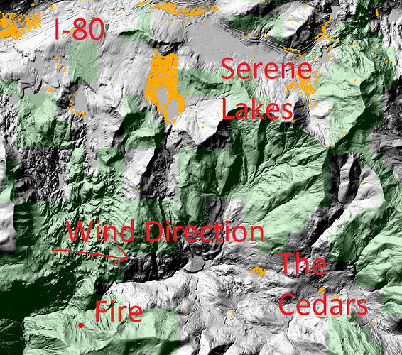
My crude image
There is a chimney that leads to Serene Lakes but wind is not in alignment now
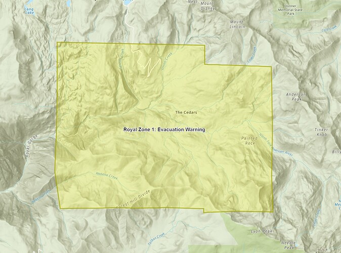
I know “The Cedars” is down there but never been there, don’t know what it’s like
The cedars are dispersed cabins that have been privately owned forever. Heavy timber throughout that whole area. If it runs to the cedars it would be a miracle if it stayed out of the serene lakes. That canyon gets pretty tight.
Royal IC requesting Lima, Charlie and Golf strike teams. I believe I heard staging in Serene Lakes area.
Smoke drifting into Truckee
FIRIS just finished mapping it at 54 acres.
The fire has been revised to approximately 54 acres per Intel mapping. 2 additional type 1 copters requested & some copters will have night flying capability per radio traffic.
An additional strike team of type 3 engines (5 engines), 5 type 1 handcrews & 2 strike teams of dozers (4 dozers) have been requested.
This is the most upslope (Easterly) fire in this gorge since the American Complex (20890 acres) and the Granite fire (10 acres). This the closest a down wind, down slope fire has been to Soda Springs-Serene Lakes.
Resources are definitely being “drawn down” across the state. East coast has already sent some engines.
Long response times and UTF time. Box gets bigger.
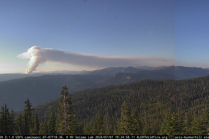
Must be cranking now…can see the header from the valley
Tanked NVG Chinook 0CH based out of Truckee Airport will be flying the fire tonight

