
It’s putting out a little heat today.
https://alertca.live/cam-console/1932
4 Likes
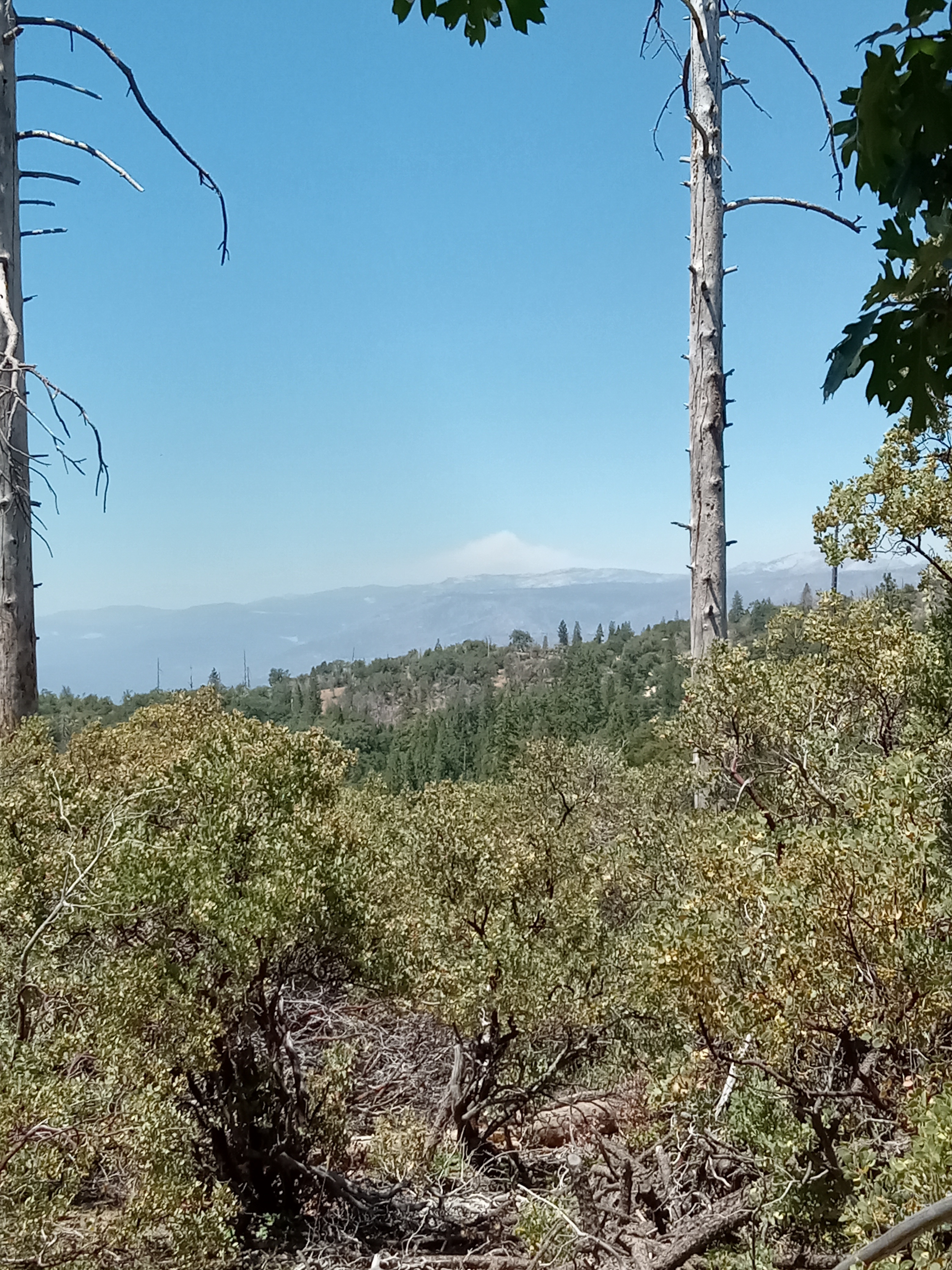
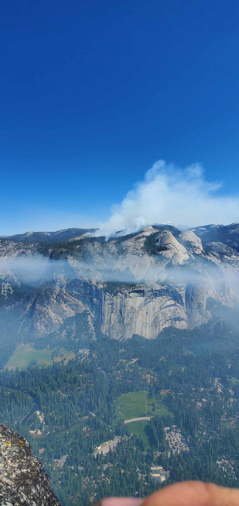
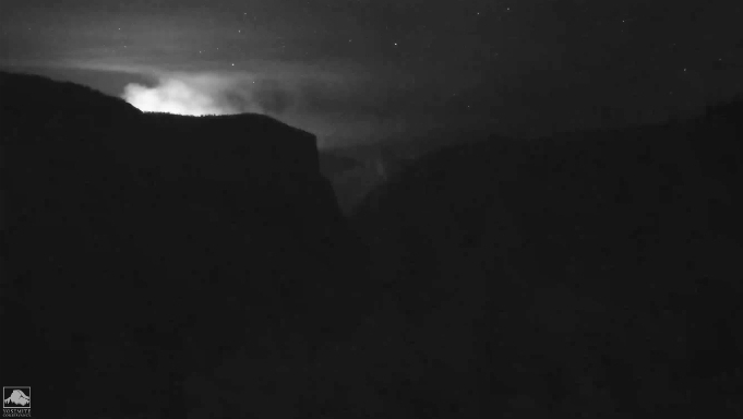
From above wawona tunnel.
https://www.nps.gov/media/webcam/view.htm?id=81B464D8-1DD8-B71B-0B27F29DCD4CE913
2 Likes
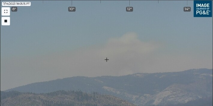
7/15 11:23am
450 Acres
Crews will be hand firing along Lehamite Ck trail on the west flank to secure that section this morning. Firing has been slow due to potential of spot fires across the line.
3 Likes
4 Likes
And some of our locals are at it again kicking fed firefighters in the jewelry on facepalm.
2 Likes
yup Smokey in Oakhurst, Lushmeadows, Greeley Hill and above Sonora.
4 Likes
I thought I posted this here too… lol. and did I post pictures somewhere yesterday? my friend has been sending me awesome pictures from Glacier Point. this was from this morning. NIFC has it at 500 acres now.
#PikaFire
Updated: 2023-07-15
Size: 450 Acres
Crews will be hand firing along Lehamite Ck trail on the west flank to secure that section this morning. Firing has been slow due to potential of spot fires across the line.
Pika Fire - Smoke Information
Pika Fire
Announcement - 07/15/2023
Smoke from the Pika Fire has been impacting Yosemite Valley overnight and into the morning with conditions improving as smoke lifts during the afternoon. The AQI is “hazardous” in Yosemite Valley this morning. Similar conditions are expected tonight into tomorrow morning. Impacts may also be observed in the surrounding communities of El Portal and Groveland. To monitor smoke in your area and take precautions for your health, please visit Current Air Quality and Smoke Monitoring - Yosemite National Park (U.S. National Park Service) (nps.gov)
4 Likes
7 Likes
If this is a sign on what’s to come this season, better pack extra skivies. That place was under FEET of snow not to long ago. Drying out quick for decent burn conditions.
6 Likes
Pika started 6/29
3 Likes
What elevation is this fire at?
1 Like
Yeah even worse
1 Like
7100 I believe
3 Likes
Those rocks heat up and retain heat faster than any other ground cover. It will expedite snow melt and lower fuels moistures. For example, if they hadn’t started plowing the highway in April, the road would look near the same as it does now, regardless of plowing, it’s been proven over decades, mainly due to equipment failures. The Pika is a great example of RX burning. Happy to see it done.
7 Likes
650 suppression acres on todays inciweb.
5 Likes

That is a typo
7,100 feet is more accurate
3 Likes
Checks out, mapping shows the fire from around 7,100 at the lowest all the way up to Indian Rock (~8,500 feet.)
4 Likes
yeah I thought I read 7100 to begin with that’s why I said it earlier.
1 Like