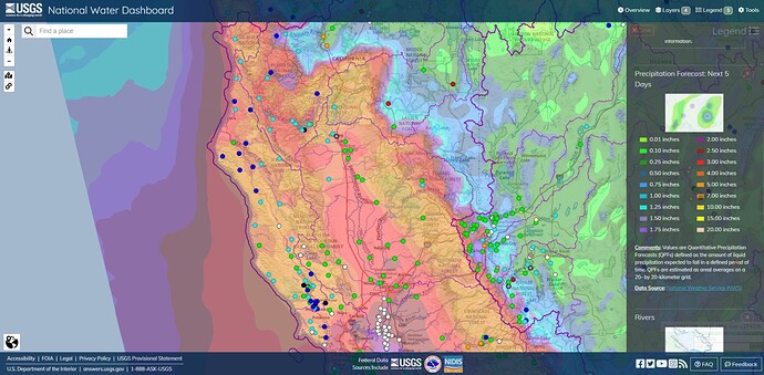
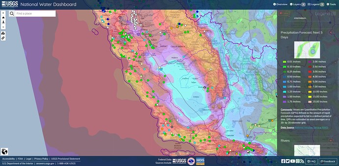
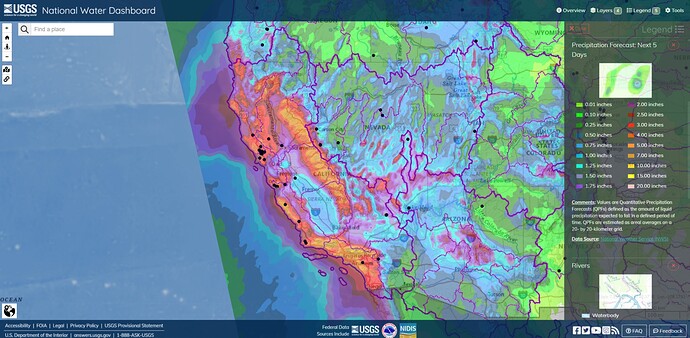
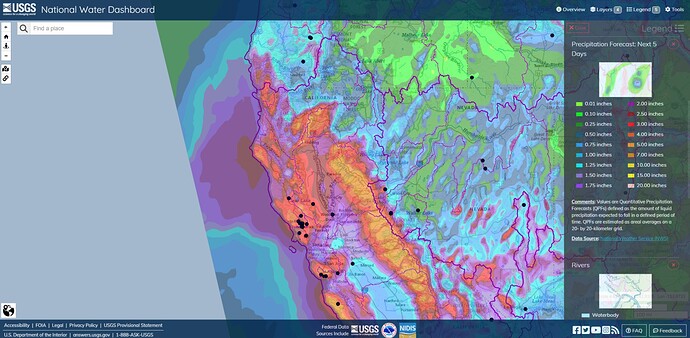
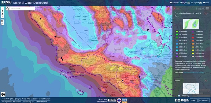
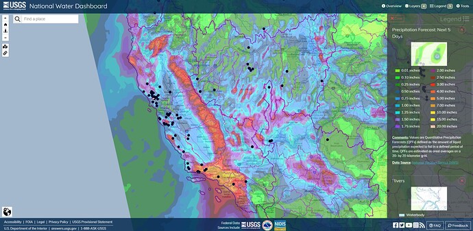
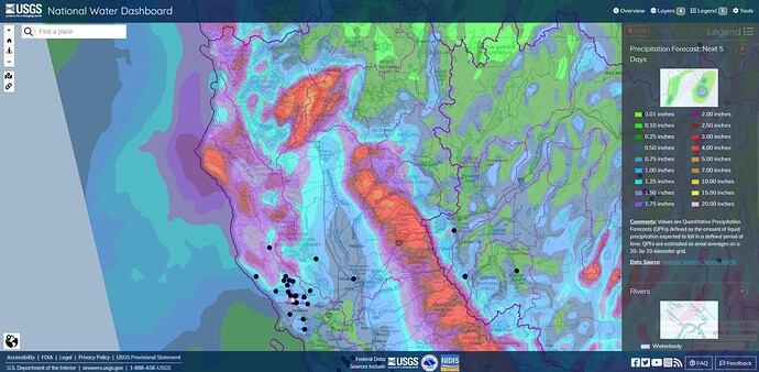
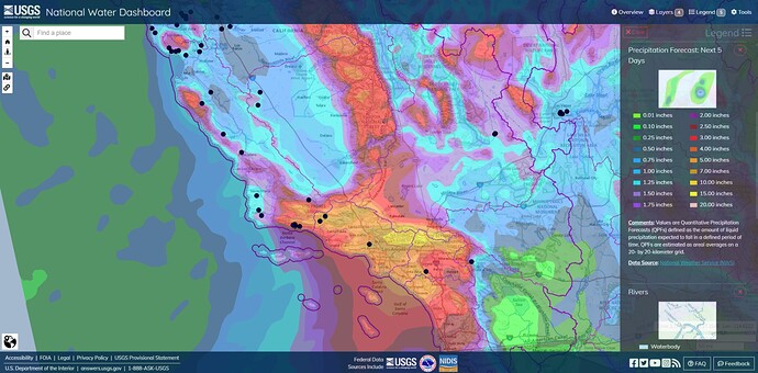
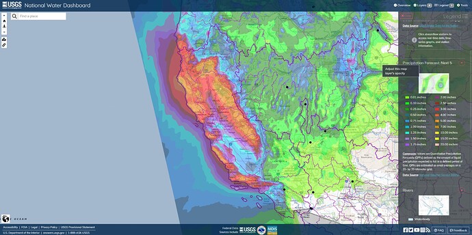
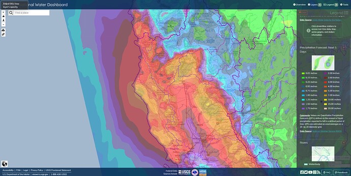
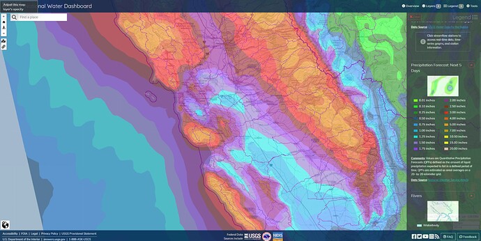
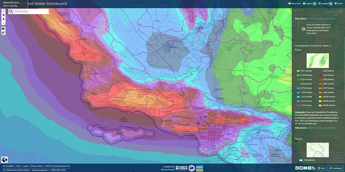
North and Central California 5-Day Precipitation Forecast
Lots of hype for this last storm in NorCal, and all we got was a night of nice steady rain. All of our creeks are normal right now. Twitter weather forecasters are out of control - this is about the fifth straight storm they’ve hyped that has failed to live up to expectations in the Sac Valley.
I agree. California always looking for an emergency.
Better to be a day too early than 10 minutes too late. We’ve made a career and a good living dealing with emergencies.
And just because the deluge skipped my location doesn’t mean someone else isn’t going to get hammered by the predicted weather system.
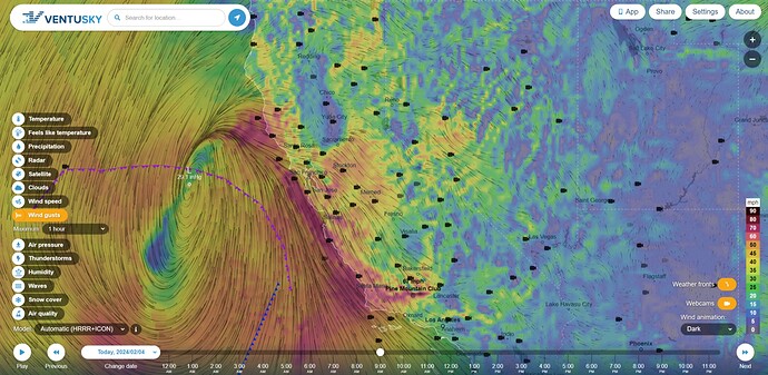
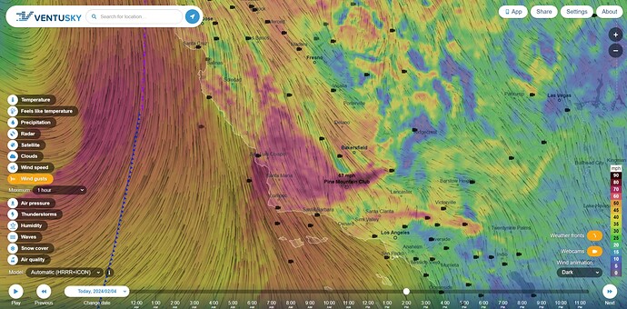
HRRR+ICON SUN Feb 4 2024 9:22AM PT Wind Gusts
Climbing up to 70+ mph by 2PM for San Luis Obispo, Santa Barbara, and Ventura Counties, and the transverse mountain ranges. Lots of calls for trees, powerlines and wind damage. A few warming fires. Good chance there will be power and telecom outages. Not great considering the amount of rain coming this way.
I wouldn’t count on rotor support in some of these areas for a little while.
NWS 5-Day Precipitation Forecast
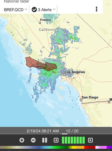
Looks like the points of maximum rainfall accumulations have shifted around a bit on the Santa Cruz, upper Los Padres, Angeles and Bernadino ranges. North Bay Area flooding is ongoing.
The 8-14 day hazards outlook covering Presidents’ Day weekend is looking fairly similar to last weekend. GEFS also is showing a fairly strong pattern.
Should be interesting to see what develops.
