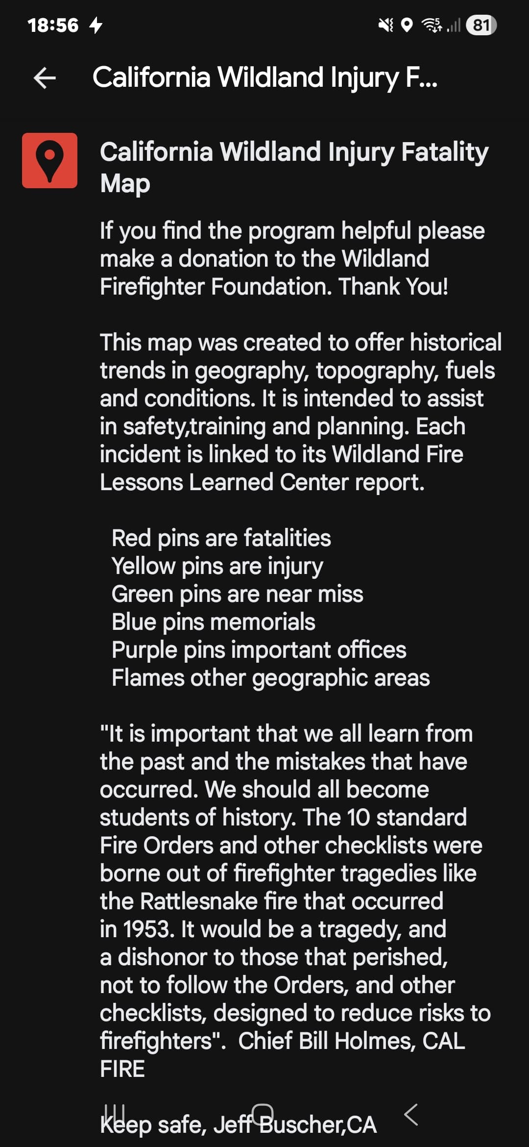
I used to have a link for a google maps “Wildland FF Fatality” map. The map seemed to be google based and had yellow and red pins in the location of the injury/fatality site. These pins were linked to the Lessons Learned Center.
This map was an incredible tool when we found ourselves in places where we knew people had once been hurt, but maybe didn’t remember all the details. The ability to quick reference the historic incident, to ensure we don’t find ourselves in the same situation ensured that we too will see “Christmas Morning”.
If any of you have or remember the map, I’d be grateful if you could post the link.
Your awareness & curiosity of the past is commendable++
Since i’m old i cant stop thinking that its never a bad thing to reflect on old rules of thumb & axioms.
That being said i offer something you already know - it’s the analog version of what you are seeking in this post and it works when the power and/or operating system goes down.
Wildfire & Rx Fire fatalities have occurred in all fuel types, all geographic areas and on all topography because Fire does not discriminate!
I distinctly remember using this map and briefing to the attached Lesson Learned Center Green Sheet. It made for an extra meaningful briefing.
June of 2016 I had a Lima in Monte Vista. We were less than a mile away from the Bell Valley Truck trail where Steve Arrollado was killed. Dozers were connecting dots and ringing a house or two. The fire got angry and pushed hard. A LG Charlie was on the Bell Valley Truck trail and stopped a few thousand feet where Steve was burned over. One of the Engines caught fire. History repeated itself right in front of us. This time, it was just an air cleaner and some scorched hosebed covers.
In 2017 I found myself in Toro Canyon with the highest performing Engine Strike Team I ever got to lead. Tim Chavez warned us that morning we were fighting fire in the “most historic conditions ever recorded.” The fire was hung midslope above the structures we needed to prep and defend. I remembered that Toro was also a fatality site, and out of respect for those before us and my obligation to those I was responsible for, we had a quick tailgate.
While we were there 46 years later, the precursors needed for the same tragedy were present again as well. Sundowners and critically dry fuels. OPs pulled us all off the mountain just in front of the Sundowner event and to the polo fields. We got back in the fight (probably a little too early) with some really aggressive fire front following, which required coordinated punching thru the flank, one at a time, as the fire allowed. Their work that nice made a big difference for those homes.
These are just two examples of how much that map means to me. It’s a powerful tool to honor the lost. It’s an example of Subjective and Objective Hazards that Gleason wrote about, that many may not even know occurred.
The irony of this rant, is I’m the worst offender on the fire for chaps and gloves. Those generally don’t get you killed. But this is 100% inline with my non-negotiable, and that’s basing all your actions on current and expected fire behavior.
Looks like Deer Creek GIS was the “owner” of the map, though I still can’t find it. If you happen to have a friend that does, I’ll buy you a case of your favorite beer.
I have one that is a .kml for google earth that might be what you’re talking about. Hasn’t been updated in a few years but gives waypoints that have the fire name and year. It doesn’t have links to info though, you’d have to search for that on your own. I don’t know how to post a kml on here though.
Your “rant” is NAILS!!!
Thank you for taking time to share and relate those experiences.
Sure sounds & feels like you are a person who takes the Core Values most seriously! I’m betting your mentors are proud of you and at least some of the troops you work with/around are inspired by your passion and commitment to very high standards. For sure there are some who will be inspired to pay your example forward - that is how the fire universe works - that is the way!
It’s beyond re-assuring to know there are humans like you doing this work.
Seems to me there aren’t many (if any) better ways to honor the fallen & those still alive..
FWIW - I’ve only mapped RRU incidents, some historic locations are best guess estimates, and it includes a few Cal Fire non-wildland deaths. Map RRU Firefighter Deaths - Google My Maps
I am also interested in this map and use the information at briefings.
The California map has a lot of incidents, but when I click on the other states it doesn’t bring up the individual incidents.
Do you know who produced the map or how to find info for all other states?
Thanks for all your help and the time you put in on this. What you’ve posted is outstanding.