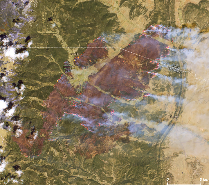
That is the calf fire to the south but the hermits peak fire was only a few miles east of it and on the satellite you could see the burn scar with column building on the west edge. I’ll see if I can get a better picture.
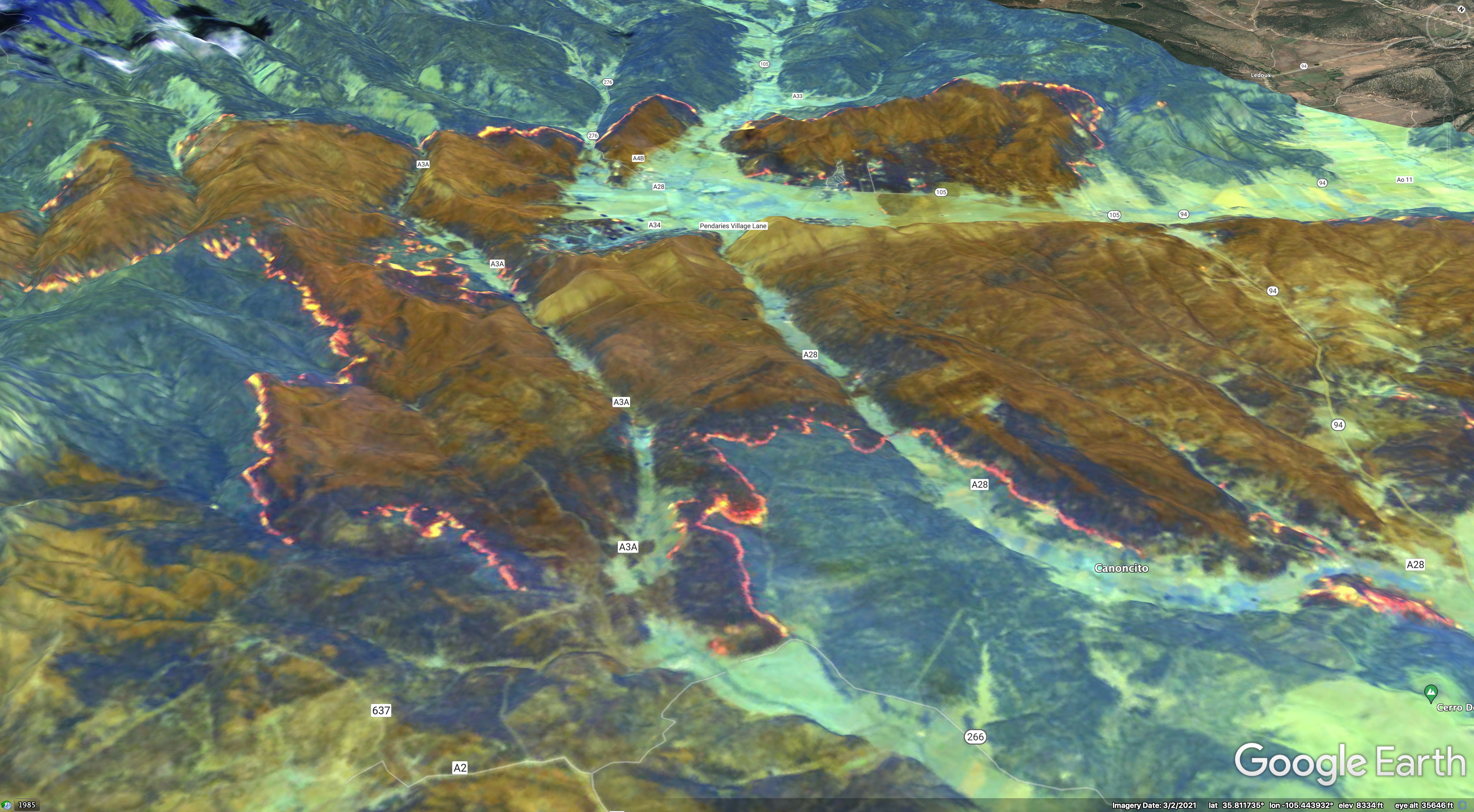
Another start west near Jimenez springs growing rapidly.
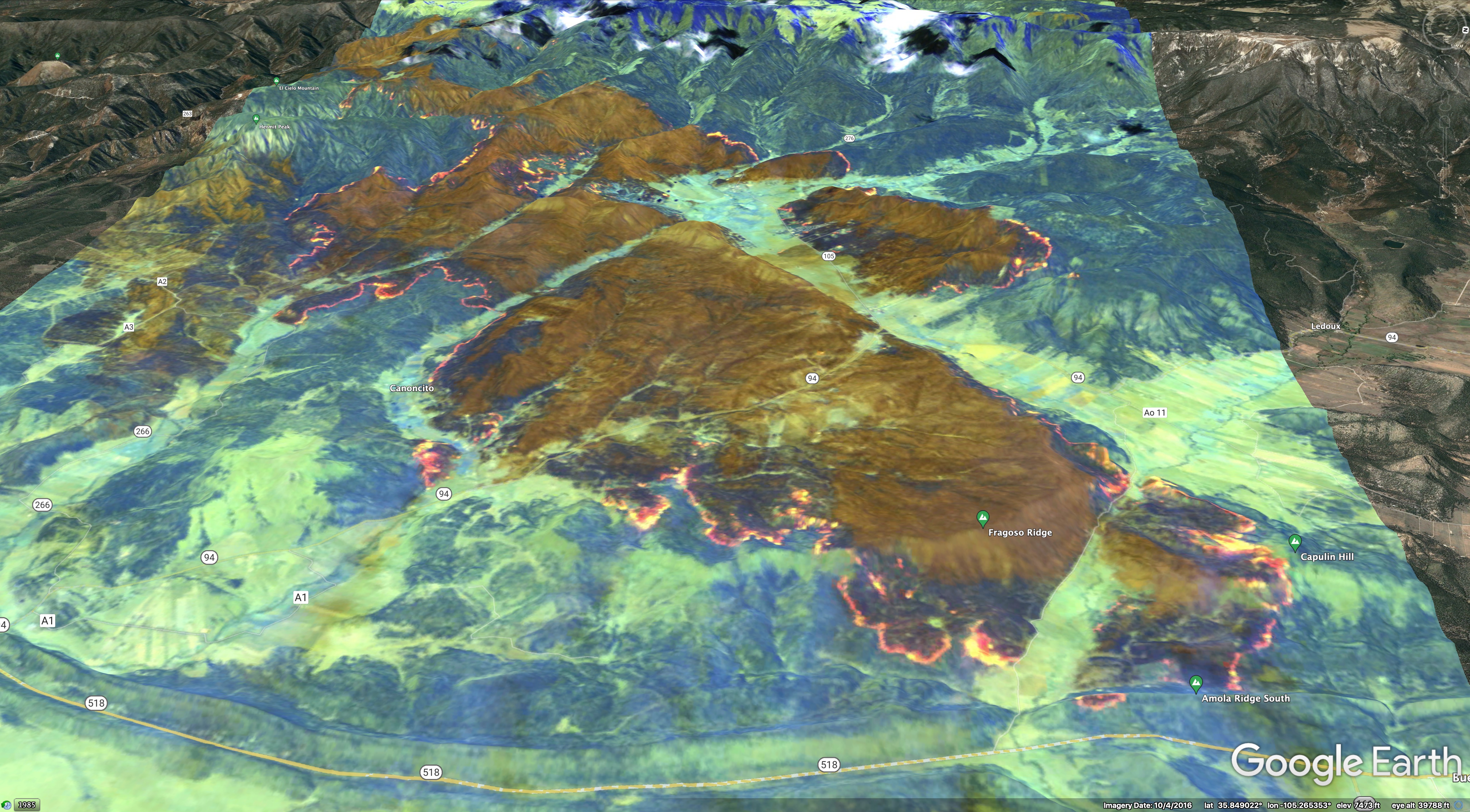
The south side is running down porvenir canyon rapidly on both sides of the canyon at the end of highway 65 with the wind and will impact El porvenir soon.