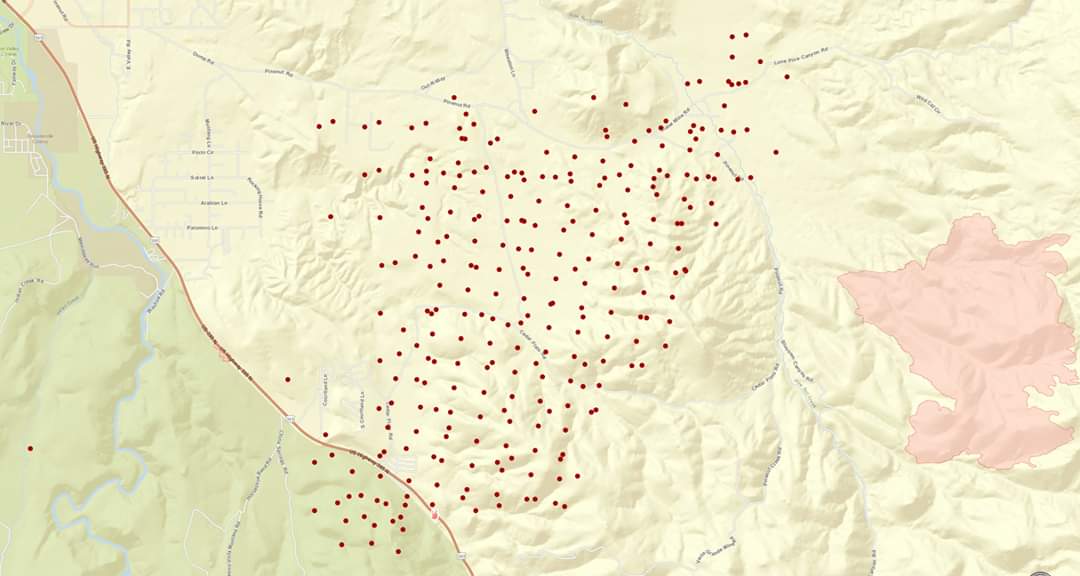
State ID:NV
3 letter designator:CCD
Fire name:??? (not yet on Sierra Front CAD)
Location: Ray May Way, US 395 South of Minden 38.879359, -119.686522
Reported acres:
Rate of spread:Rapid
Report on Conditions: both sides of 395
Structure threat: Yes
Resources:
Hazards:
Weather:
Radio channels:
Scanner link:
Webcam link:http://www.alertwildfire.org/tahoe/index.html?camera=Axis-RidgeTahoe&v=81e003f
http://www.alertwildfire.org/tahoe/index.html?camera=Axis-McPeak&v=81e003f
Agency Website:
The East Fork Fire Protection District says crews are responding to three wildland fires in the area of Bodie Flat in Douglas County.
Officials said structures are threatened at this time.
Douglas County officials say there’s evacuation orders for residents in the Pine View Estates.
Scanner link
This will be the Numbers Fire NV-CCD-30406
2,500 acres.
Fire weather spot check.
https://www.wrh.noaa.gov/fire2/?latitude=39.13&longitude=-119.52&latlon=Go&wfo=sto&interface=fwzones
Cameras picking it up nicely.
http://www.alertwildfire.org/blmnv/index.html?camera=Axis-RidgeTahoe&v=81e002f
IC advised dangerous ros 50 to 70 foot flame length.
Large scale evacs underway.
T3 ST from XSA left over night…OES 4801C is now on station…stay safe
XSJ 4176C is scheduled to arrive this morning as well from San Joaquin County in Ca.
ST Leader Neely
CLE E6-3
LMD E30
LPE E5-3
MKE E13-2
WMR E15-3
KCRA reported that Sac Metro and Placer County both sent strike teams
Pretty amazing footage from last night shared on SimTable’s facebook:
having trouble locating this fire. Family in Wellington NV. Anyone advise where in relation to fire is and what direction it is headed. Thanks for info
38.687553 -119.548636
Approx 13.5 miles north west of Wellington.
Correct lat/long from Sierra Front WildCad is:
38 50.604, -119 38.310
Anyone have the Com Plan?
KOLO Television reporting one home and 10 outbuildings lost and fire at 5,000 acres
Hard to believe, but the news report is not entirely accurate. The Sacramento Operational Area sent out and OES ST, not Sac Metro…
