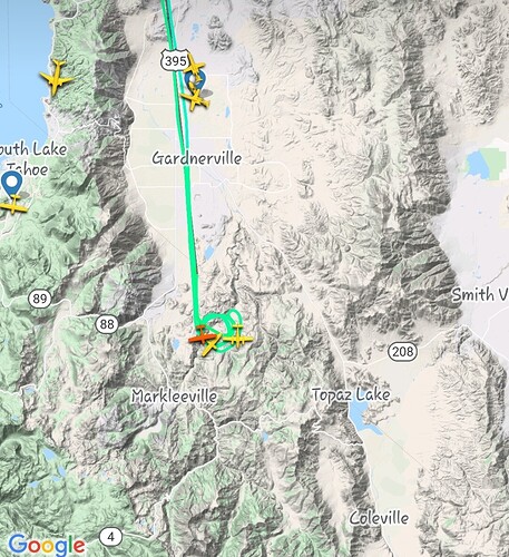
AA coming on scene with a SEAT in tow.
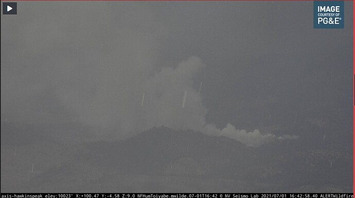
Looking at the cameras…I think there might be two fires. THe Hawkins peak cam is not aimed at where the aircraft are working the fire coming off of the other cam.
Definitely possible.
Also, the cameras are often a bit off with their shaded “angle of view” projections on the map.
Sketchy wind shift @ 16:20.
SCANNER: Calaveras and Alpine Counties Fire, Cal Fire and USFS Calaveras and Alpine Counties Fire, Cal Fire and USFS Live Audio Feed
The camera targets are off a bit but both are looking at the same fire east of Indian creek reservoir.
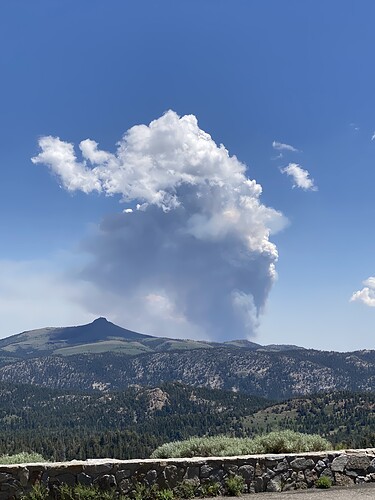
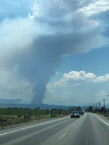
5:36pm 7/1/2021 #EastForkFire is currently burning in Cottonwood Canyon on the California side of the Carson Ranger District (approximately 15 miles east of Woodfords, CA). The estimated size is 15-20 acres, multiple air and ground resources are on scene and responding.
[Humboldt Toiyabe NF]
That’s a prescribed burn that’s been going for a while.
Saw on the cam retardant being dropped and the ArcGis link above shows it a wildland fire
I wonder if he was referring to the smoke on the Bunker Hill cam that someone started a thread on. Pointing at a weeks old VMP
I was referring to the camera “target” lines not being correct apparently, and if they were accurate, there would be 2 fires, but it seems there is only 1 and the cameras alignment markers are off
That’s the one.
A severe thunderstorm warning is in place for this area now.
Nice one…. 
Fire is still pretty active
Fire laying low this morning. Started waking up around 11:00
Around that time another start just across Nevada border. Wind has picked up a little bit on both in the last 20-30.
http://www.alertwildfire.org/blmnv/index.html?camera=Axis-HawkinsPeak&v=fd40729
They zoomed to the other fire occasionally, but it’s typically showing in the far left side of the camera.
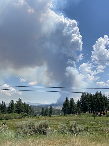
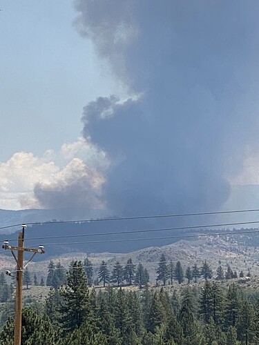
Coming over Highway 88 from Amador County. Pictures from (1) Caples Lake, (2) Hope Valley, (3) Woodfords.

