Saw on the cam retardant being dropped and the ArcGis link above shows it a wildland fire
1 Like
I wonder if he was referring to the smoke on the Bunker Hill cam that someone started a thread on. Pointing at a weeks old VMP
2 Likes
I was referring to the camera “target” lines not being correct apparently, and if they were accurate, there would be 2 fires, but it seems there is only 1 and the cameras alignment markers are off
3 Likes
That’s the one.
1 Like
A severe thunderstorm warning is in place for this area now.
1 Like
Nice one…. 
1 Like
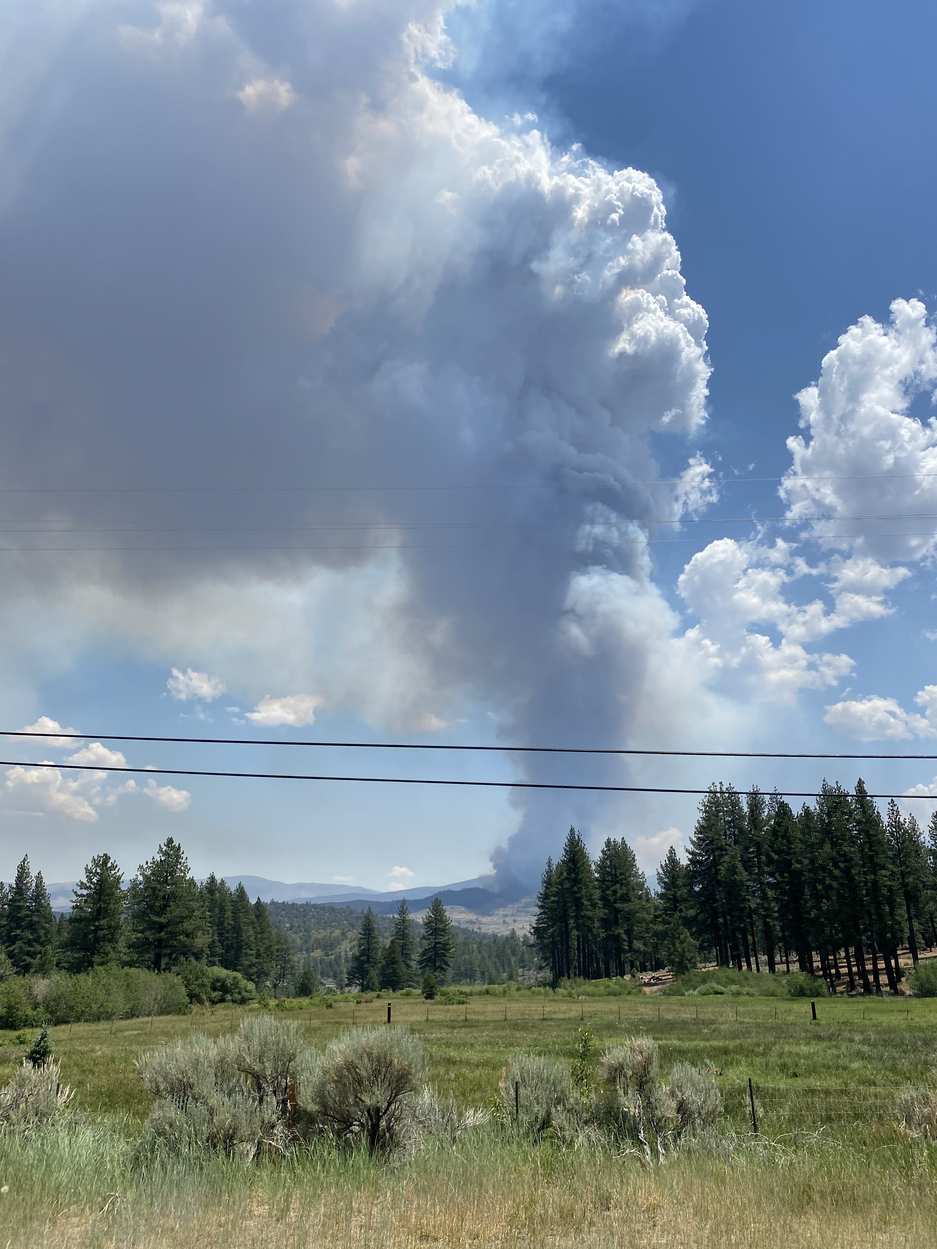
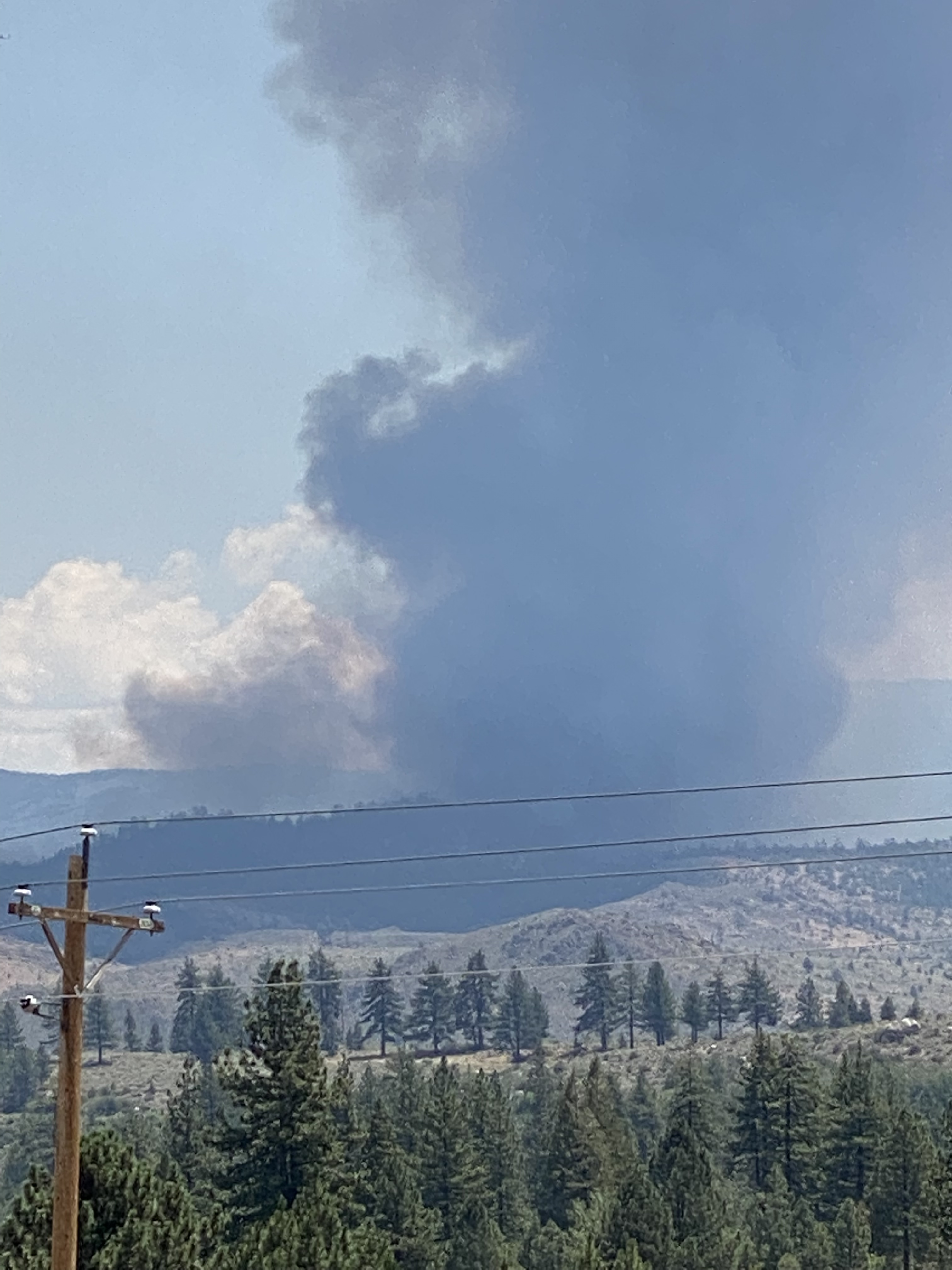
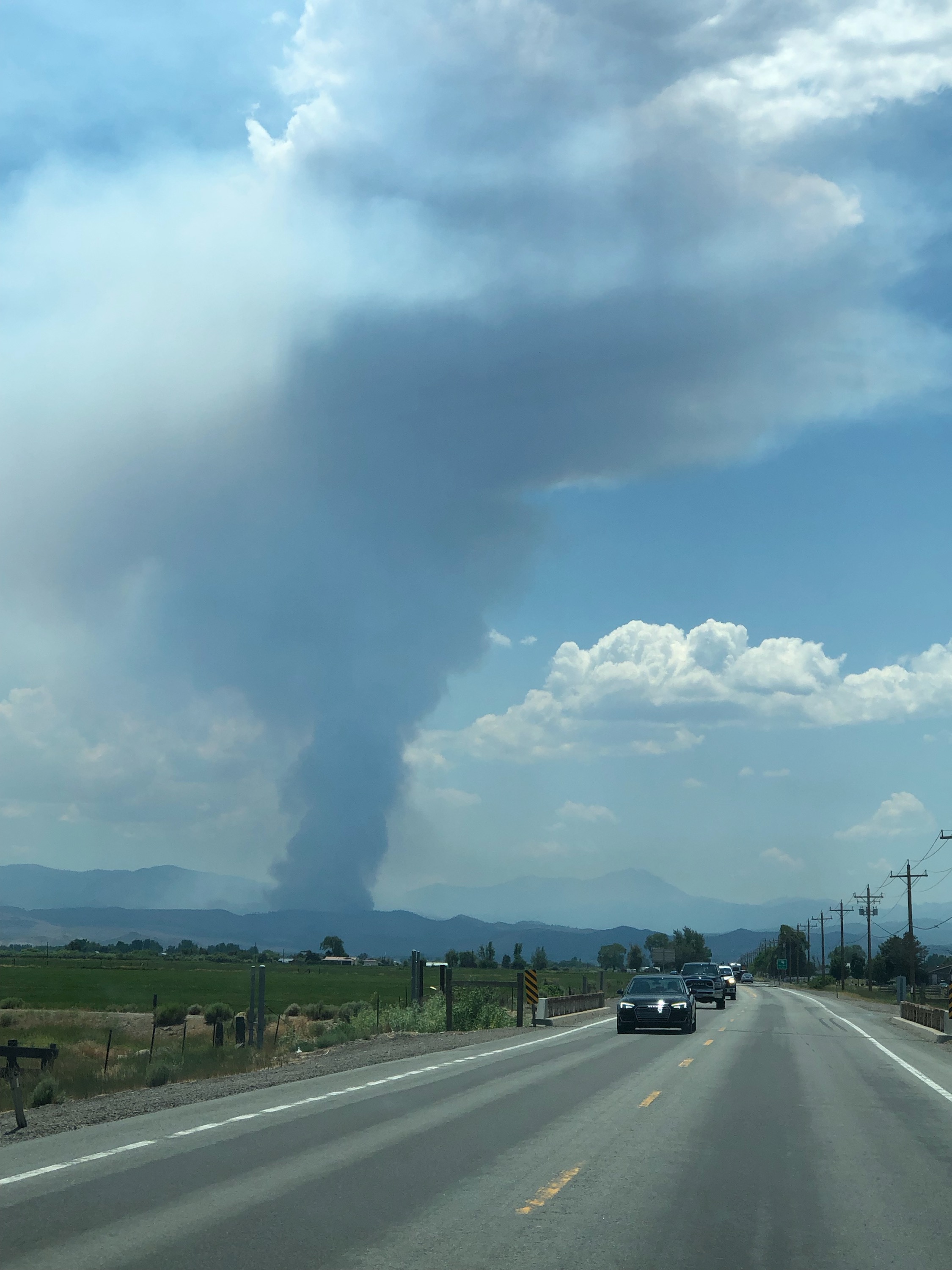
Fire is still pretty active
1 Like
Fire laying low this morning. Started waking up around 11:00
Around that time another start just across Nevada border. Wind has picked up a little bit on both in the last 20-30.
http://www.alertwildfire.org/blmnv/index.html?camera=Axis-HawkinsPeak&v=fd40729
They zoomed to the other fire occasionally, but it’s typically showing in the far left side of the camera.
4 Likes
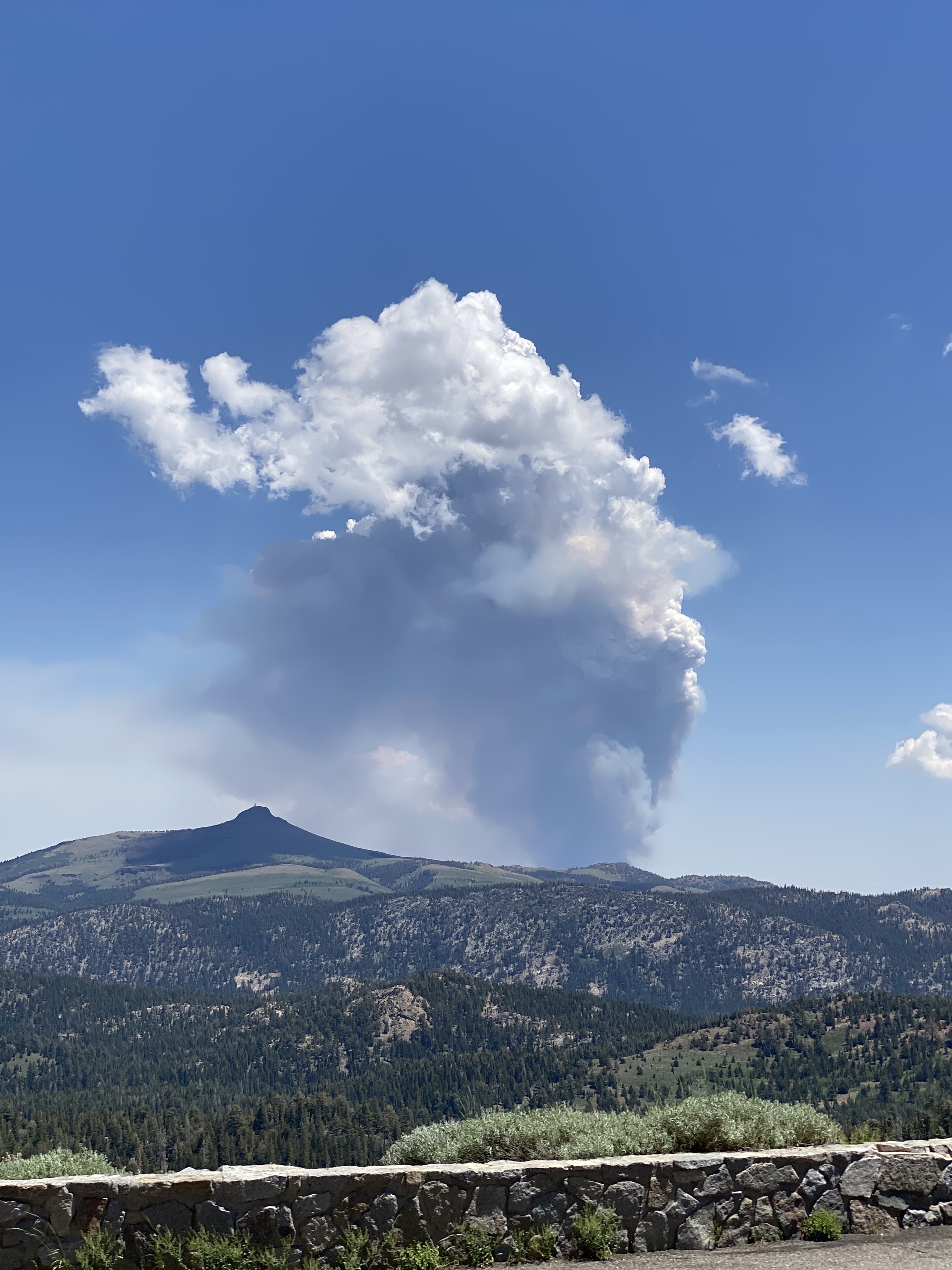
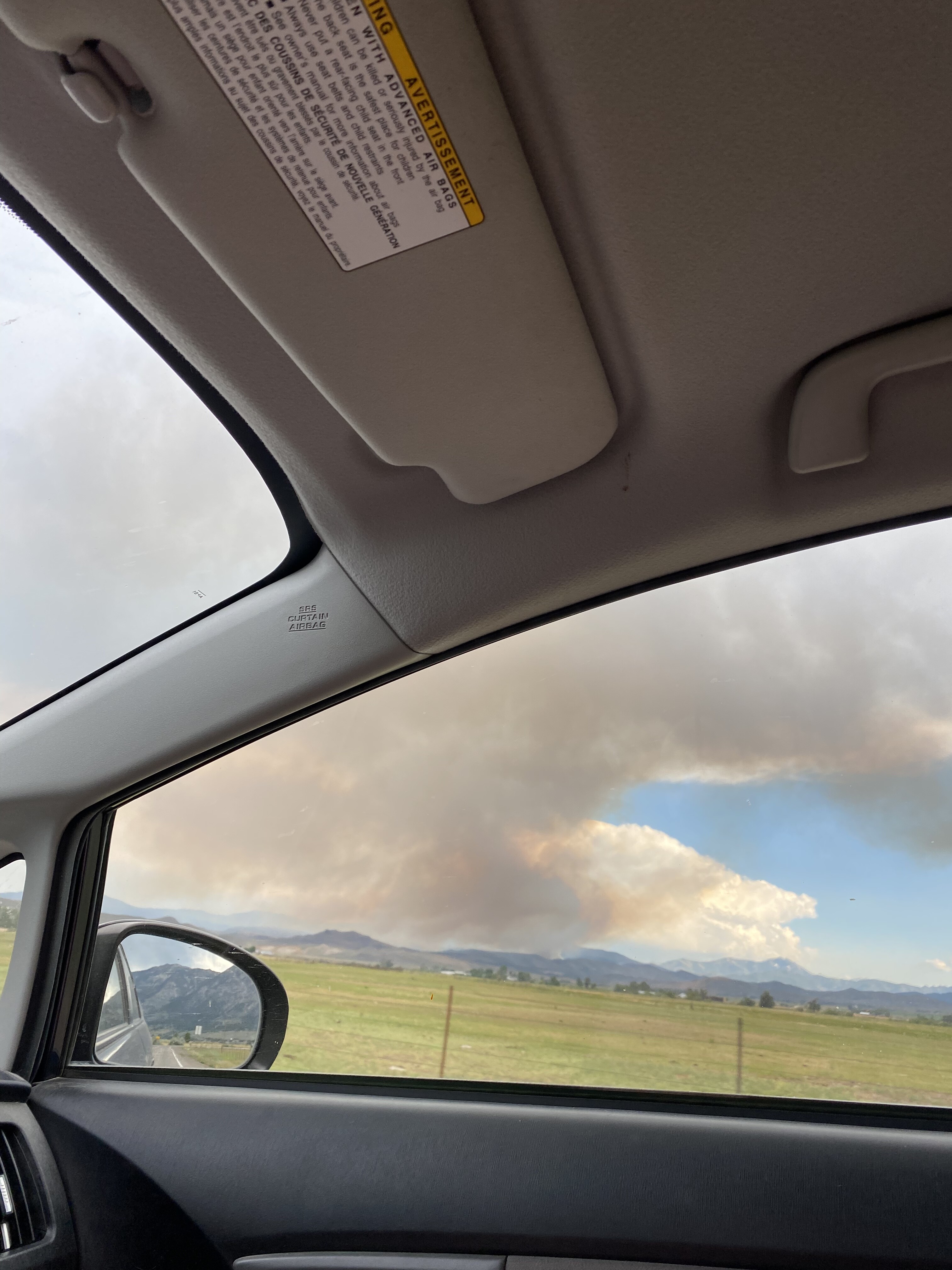
Coming over Highway 88 from Amador County. Pictures from (1) Caples Lake, (2) Hope Valley, (3) Woodfords.
6 Likes
Not much information other than pictures.
Is the agency putting anything out?
I see this is waking up a lot right now. Any idea which online scanner channel has it? Maybe El Dorado-Amador now? I tried the Nevada scanners and got nothing. As well as Calaveras-Alpine. Thanks!
1 Like
Just this
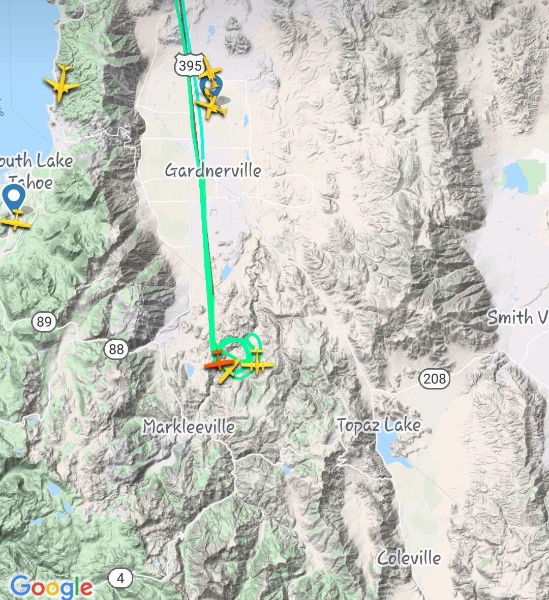
Unfortunately this area seems to be the Bermuda triangle of fires… technically in California but ran through nevada htf. Never seem to get much info or hear any scanner traffic. I did see on flight radar app that both T88 and T89 are flying this out of Columbia though
6 Likes
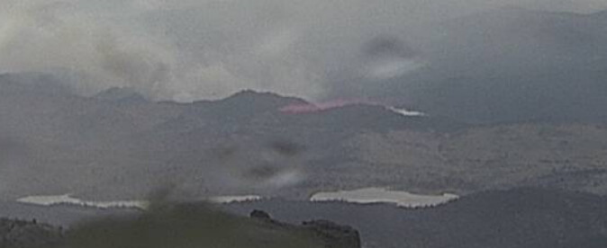
webcam currently looks like the column is collapsing
4 Likes
Hawkins Peak 1 hour time-lapse is a pretty good show of a system moving through pushing the fire 180 degrees
http://www.alertwildfire.org/blmnv/index.html?camera=Axis-HawkinsPeak&v=fd40729
2 Likes
Tanker 910 Just released a nice load across the top. It looks like the fire got some rain and that has moderated things a bit.
3 Likes