State ID: NV
3 letter designator: HTF
Fire name:Tamarack
Location: 5 Miles SW/O Markleeville, Ca
Reported acres:500
Rate of spread: Dangerous (based upon the last hour)
Report on Conditions:
Structure threat:Yes, Cabins and the Town
Resources: AA0CP, Black Mountain Hot Shots, AA, 1 Lead plane, T-103, T-131, T-830, T-861, T-896, T-911
Hazards:
Weather:
Radio channels:HTF Hawkins
Scanner link:
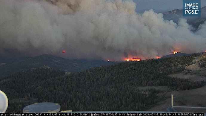
Webcam link:ALERTWildfire | Sierra-Foothills
ALERTWildfire | Tahoe
Agency Website:
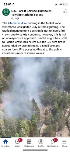
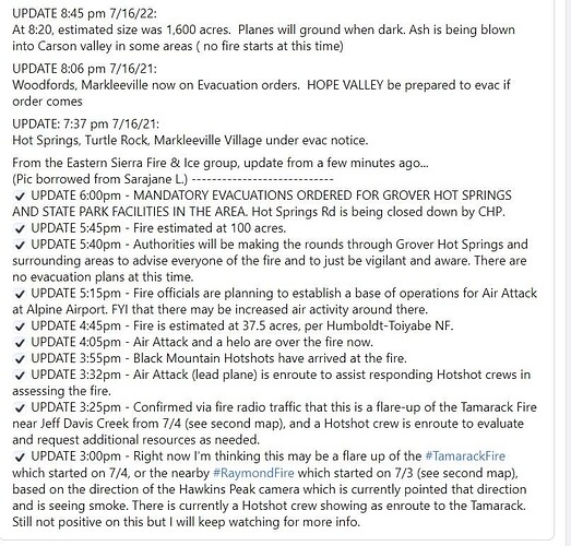
Per retiredbc2 Tamarack fire started on 07/04/21 and has been in monitor status until today at which time it transitioned to an active wildland fire. (Keep comments regarding this to a another post please).
Great Basin Team 3, Type 2 mobilized for this fire
Tankers have been hitting it hard this afternoon into evening; 911, 103, 131 all making at least two drops since the blow-up. Two SEATS out of Stead have also been making laps.
The Death Ride bicycling event tomorrow involving ~2,000 riders in the threatened area has been cancelled and attendees are urged to evacuate immediately.
1600 acres per CalFire.
I believe I just heard 6,600 acres
A post was merged into an existing topic: NV-HTF-Tamarack???
It was still in tact when I posted that. Sounded like it was near the Hot Springs working toward the town still but rate of spread slowed dramatically
At 0500, it still looks to be burning well, perhaps especially above the inversion.
From Alpine County SO…
6600 acres
0% contained
3 structures lost
no injuries
Sheriff’s Office has lost power and internet…
Video of structure loss.
Perimeter map just posted to Inciweb:
Air attack is over the fire, along with 2 type 1 helicopters. No other aircraft yet.
i am looking at flightradar 24 and not seeing anything. hints? Thanks
ADS-B Exchange website shows AA on the fire.


