2019 is done,
Carry on.
2019 is done,
Carry on.
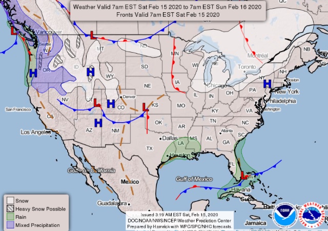
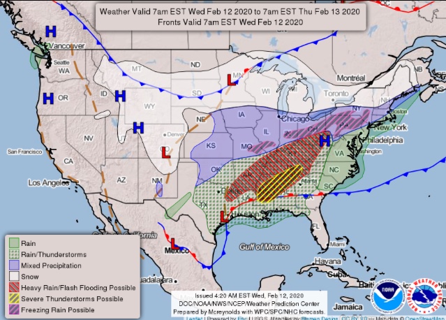
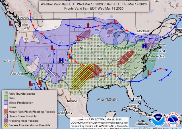
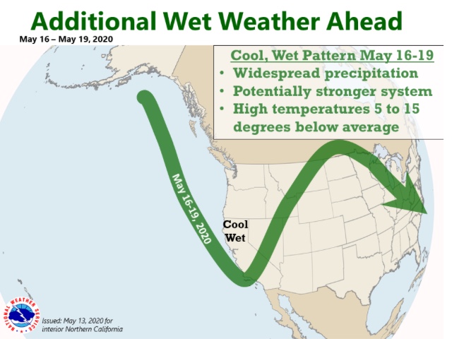
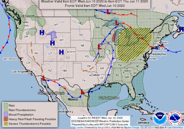
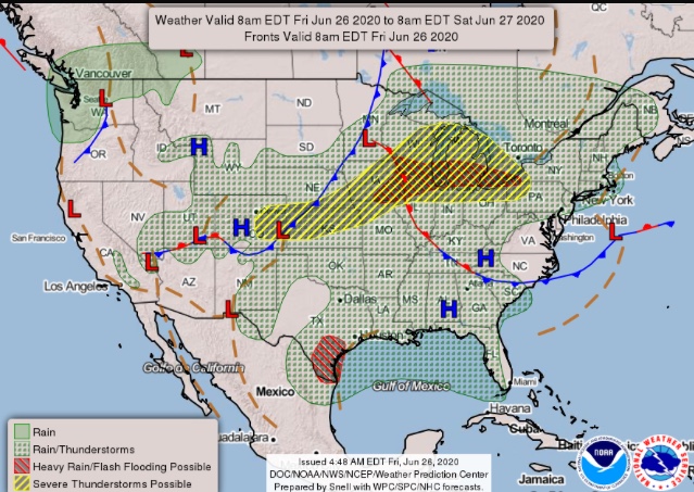
National Forecast Map
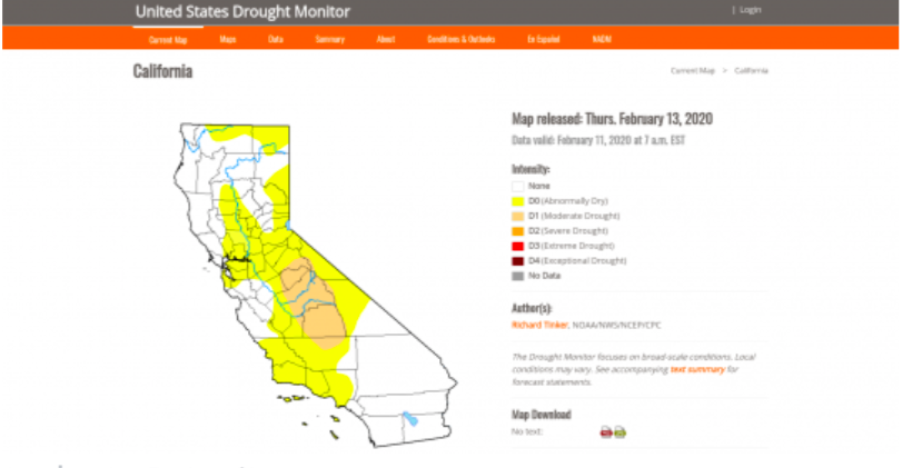
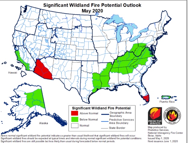
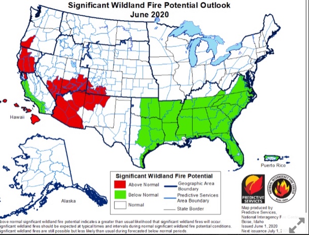
It would appear that the D word is back in our active vocabulary. ABC News is reporting that the US Drought Monitor is designating the Central and Southern Sierra along with the adjacent areas of the Central Valley as being back into a moderate drought condition. Unless there is significant wet weather, it is highly likely that we will once again experience a very early commencement of fire season.
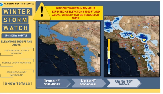
Weather Watch
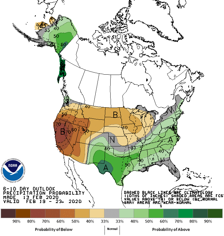
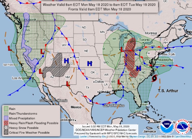
National Forecast Map
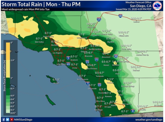
Appears decent rain coming to So Cal
Significant increase in Live Fuel Moisture:
https://www.fire.lacounty.gov/forestry-division/fire-weather-report/
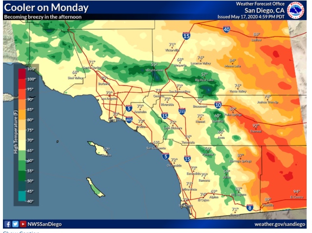
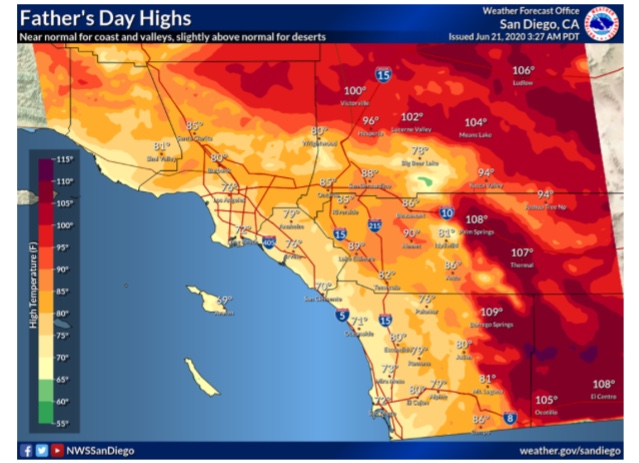
SoCal Forecast
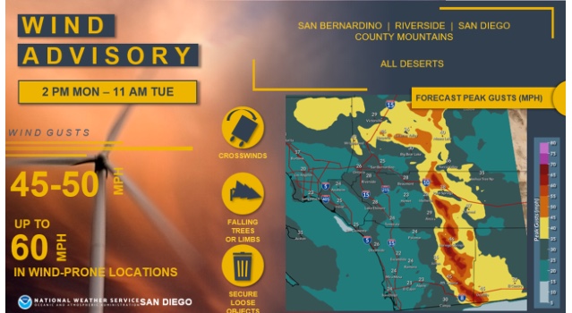
Special Advisories
https://www.weather.gov/wwamap/wwatxtget.php?cwa=sgx&wwa=all
National Forecast Map
Regional Forecast
GOES West Imagery
https://www.star.nesdis.noaa.gov/goes/sector_band.php?sat=G17§or=wus&band=AirMass&length=1
Monthly Outlook Potential
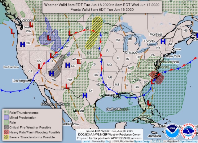
National Forecast Map
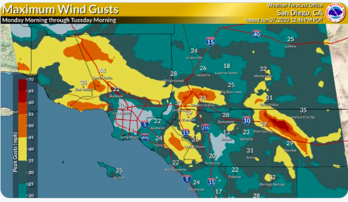
Predicted Santa Ana wind speeds for late tonight and tomorrow.
Regional Forecast
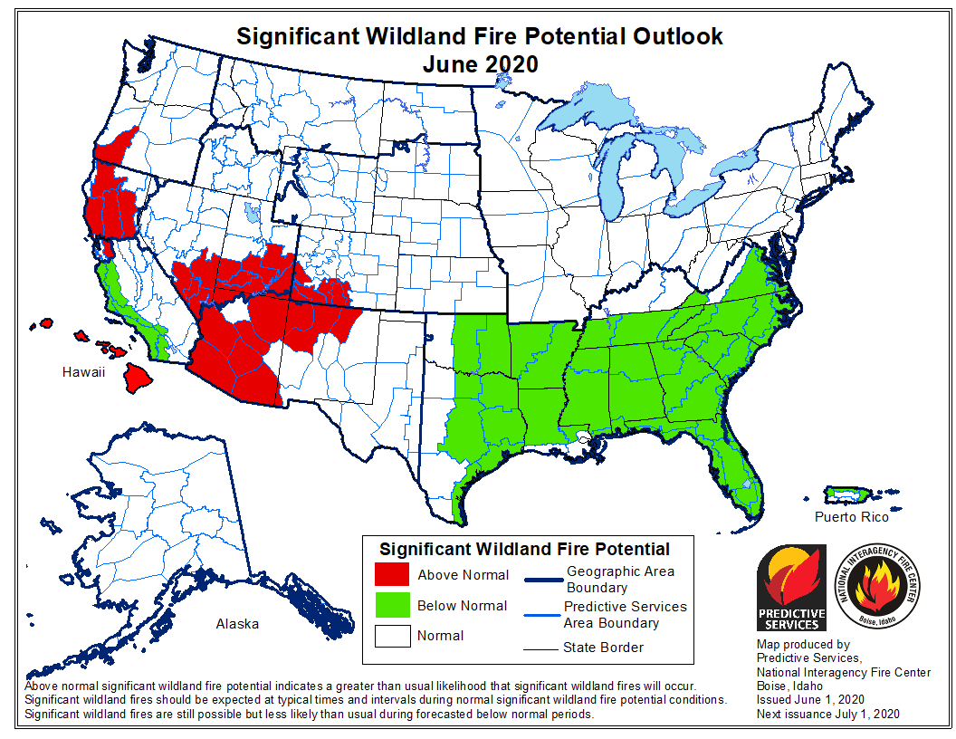
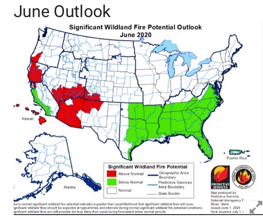
June Outlook
Regional Warnings
https://www.weather.gov/wwamap/wwatxtget.php?cwa=sgx&wwa=all
National Forecast Map
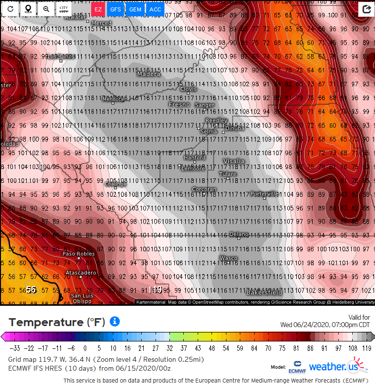
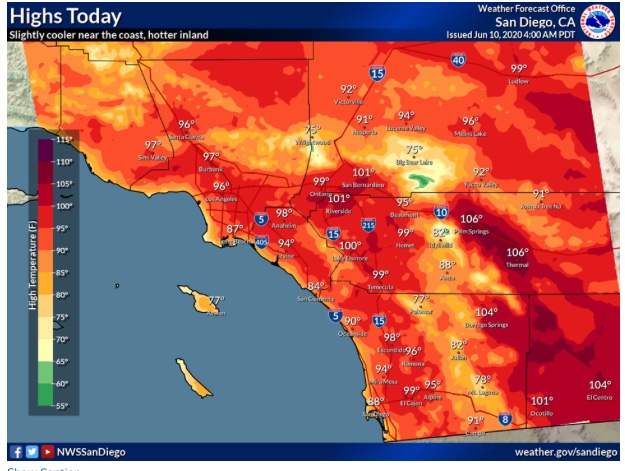
These temperatures will not verify as it’s essentially a 1 in 100,000 chance, but check out this ECMWF output for next week. There is growing model consensus for a prolonged, potentially dangerous heatwave across the San Joaquin Valley next week. I would expect temperatures to be in the 105-112 range at least.
Regional Forecast
GOES West Imagery
https://www.star.nesdis.noaa.gov/goes/sector.php?sat=G17§or=wus
June Outlook
National Forecast Map
Regional Forecast
GOES West Imagery
https://www.star.nesdis.noaa.gov/goes/sector.php?sat=G17§or=wus
National Forecast Map
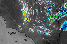
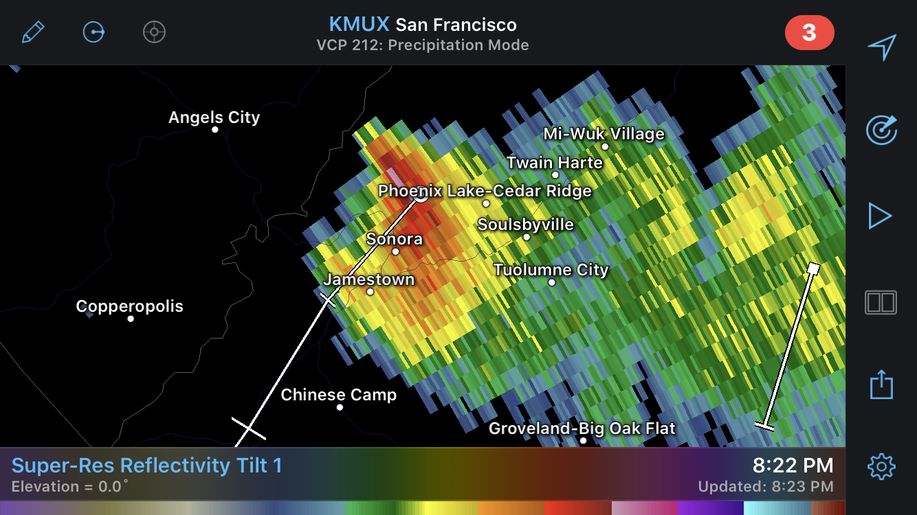
NAM-3KM model indicates some elevated convection across the Tehachapi’s and bleeding into the Antelope Valley this afternoon as a vorticity maximum swings over the area. The airmass here is pretty dry so expect if any cloud to ground lightning strikes a continued threat of fire starts.