So when you say running out of runway what does that mean?
Chances for it to take off are almost over.
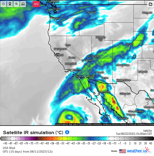
Much of the SW receives beneficial moisture from the sub tropical rains that come with the Monsoon each year. Typically this pattern begins in early July and peaks in late August. With the forecast patterns we may be running out of time for that pattern to lock in.
Is this just a south Opps prediction on a large portion of the west?
This is a whole West coast situation. As @norcal74 said, the cliamatological peak of the monsoon is around August 20th-August 30th. There situation with the monsoon, is it comes in phases. First, mid and high level moisture get established, then low level moisture increases and beneficial precipitation occurs. The forecast is showing no possibility of that process ever truly getting established across the West… and the window for widespread wetting rains will end soon as the seasonal jet stream oscillation begins.
In my opinion, the only possibility of beneficial rain to the water cycle this monsoon will come from tropical cyclone remnants.
2019 was similar pretty much a “non soon” season for the SW. That year featured a back loaded summer period and early run of Santa Ana’s.
Wondering if we are looking at a back loaded summer period and warm and dry fall. Not much of a hurricane season to speak of so far for the Pacific and the Atlantic has just had a few storms form.
El Nino is just making its mind up and could lead to a warmer fall and a better chance of tropical remnants making to the west coast.
Lower portion of page 4 of the most recent SOPS outlook “models are favoring a more back loaded winter with precipitation arriving later, but still delivering a wetter than normal rainy season”
Had not seen that, but that does line up with the CFS monthly long range. Strong east based El Nino’s can be tricky. If 2015 taught us anything… it is that not all El Nino’s are created equal.
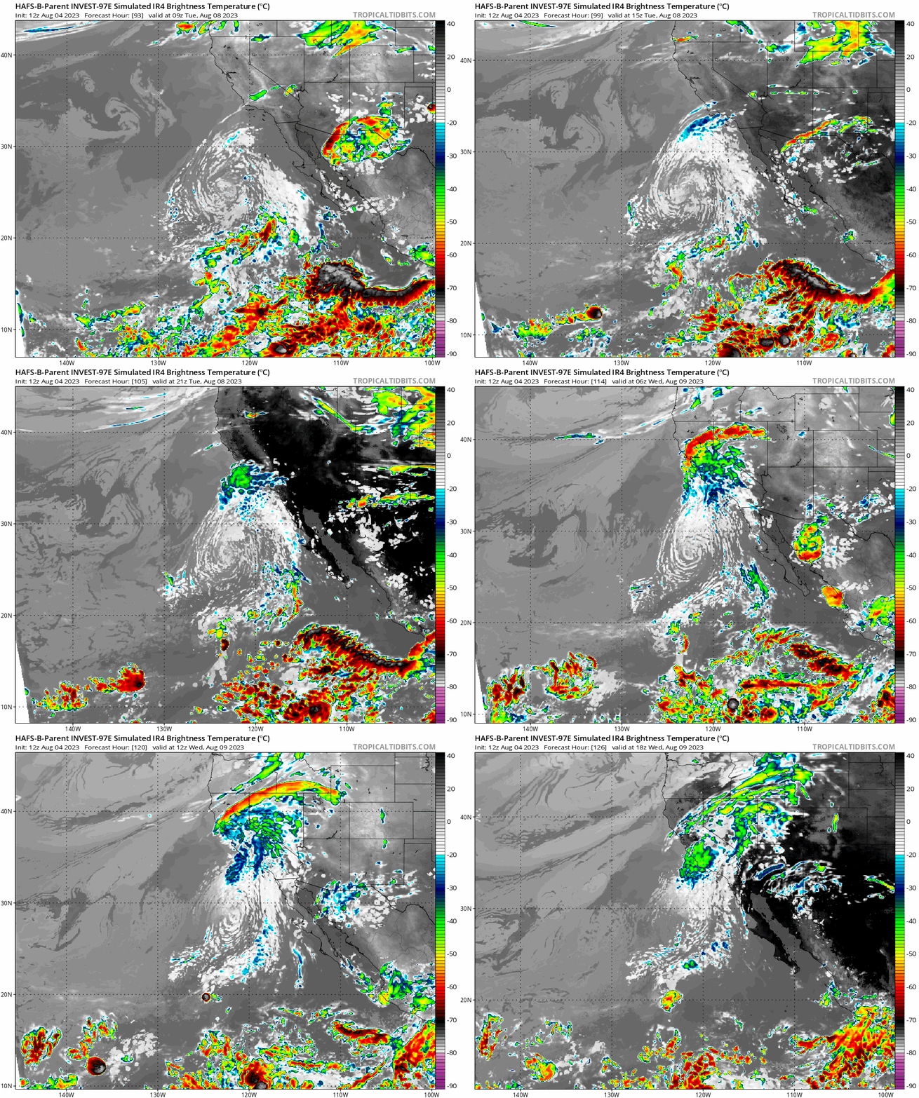
It’s a little far out, approximately 5 days… but 97E has developed a closed circulation and will be declared a tropical cyclone soon (Eugene). The storm has a medium to large circulation, and the cone of uncertainty is expected to take it right off of the California coast at the end of it’s life cycle. At the same time, a large trough of low pressure cuts off from the main flow off the coast and lifts that moisture over California. The combination of mid level moisture plus the dynamics and instability of the low pressure system could lead to thunderstorm and lightning concerns.
The stronger the storm gets, the further to the right it will move. Ocean heat content and SST are well above average in it’s path, which should lead to rapid intensification over the next 60 hours.
“unexpected, this is, and unfortunate”
-Yoda/J. Yellen ?
Yes, there is a good chance that the storm’s intensity could be a lot higher than hurricane models are showing, so there could be wetting rains from this.
Yoda for the win! The Force is strong with you anvil… 
NWS SD: some remnant tropical mid- level moisture will bring a chance
of showers and thunderstorms, diurnally driven, for Wednesday
afternoon and again Thursday afternoon. The best chance will be
over the mountains and the best chance looks to be on Wednesday a
little bit over Thursday.
Good video:
It will be important to monitor a tropical cyclone developing over the Eastern Pacific that is forecasted to strengthen into a major hurricane. The 26 degree isotherm that supports tropical cyclones is much further north than usual, extending almost halfway up the Baja peninsula. A wave of warm water (called a Kelvin wave) moving from the NW over the Pacific is set to continue to warm the waters over the next week. I am not suggesting a direct tropical cyclone impact, but I am alluding to the very large circulation and strength of the storm potentially setting up a pressure gradient over South Ops if the storm gets close enough. This could bring downslope drying and gusty winds.
But what does it all mean, Basil?
My question exactly. My guess is moisture inland? Potential for winds and thunderstorms? Fresno got rain overnight with this most recent instability
It means it could bring a Santa Ana wind like scenario if it tracks close enough, a little similar to what we saw with Kay last year, but likely much drier.


