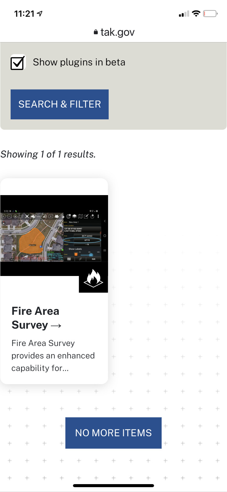
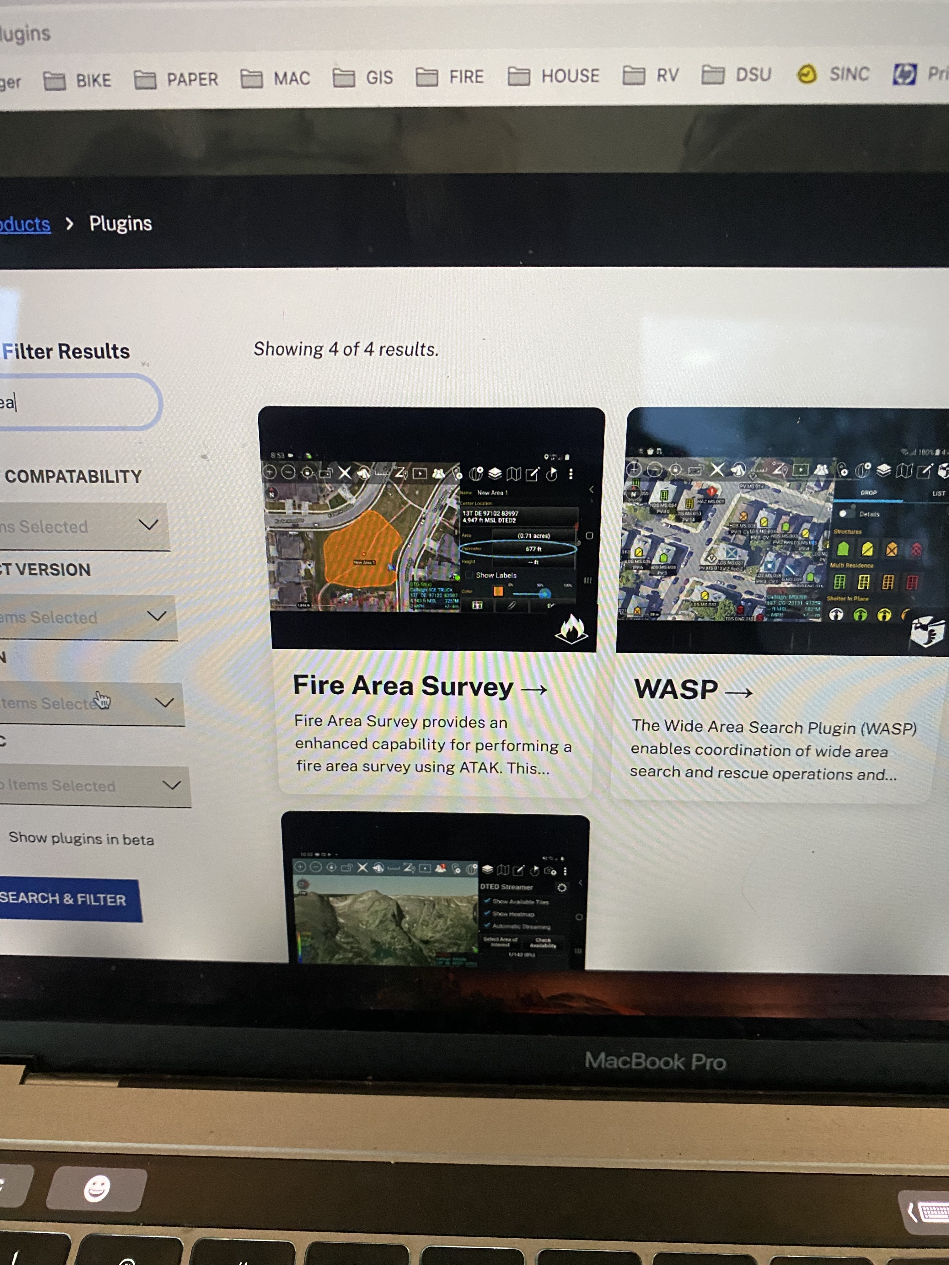
ATAK Fans the much awaited Fire Area Survey Plugin has been posted as a beta plugin at tak.gov.
Here is a video on how it works and a getting started document is in the training folder at maps.takserver.us
You can use this tool to automatically create a shape from a KML as well and calculate acreage. I will make a video on how to do that soon. As an example an IAA/ISR ship posts a KML you can change that into an ATAK shape
Hoping its on the playstore soon but until then if your a gov employee you can register at tak.gov and get it there.
@FSFF made a video on how to use it to calculate acreage off a KML. This was just an unintended bonus that will get streamlined in future updates. Tons of other great feauteres in this tool but to summarize all folks on the server can hop in an incident survey and start contributing kind of like collector/survey123 etc. So i hike a section of line and then others do etc we build our the SA. With sections of line we can join sections to create a polygon of the fire.
With latest version you can change the color of a kml in ATAK. So if the basemap is affecting the clarity of what your viewing click on the kml to bring up the radial menu, click the icon that looks like a little peice of paper, click the pencil icon and change color, like thickness etc. will make a video to post.
Its been great building data packages and seeing all the downloads over the last crazy month. Hoping they are useful for all the ATAK users.
I deployed with an Area Command Team and dont have the internet bandwidth to do all the uploads. I will be out of pocket for two weeks.
If someone of you want to build one for an incident PM me and I will get you rights to upload to my google drive. Maybe as a community of TAK users we can take care or ourselves until the incidents start creating data packages.
Remember you can always go to FTP and CalFire Box accounts to get individual maps and IR kmz overlays.
ATAK info for today - added a KMZ of all CA Counties in data package format in the data folder at maps.takserver.us . It comes natively as all shaded red polygons but in ATAK you can click on the county you want and edit to what whatever color you want and saturation and line thicknes. Makes it nice for bodering incidents.
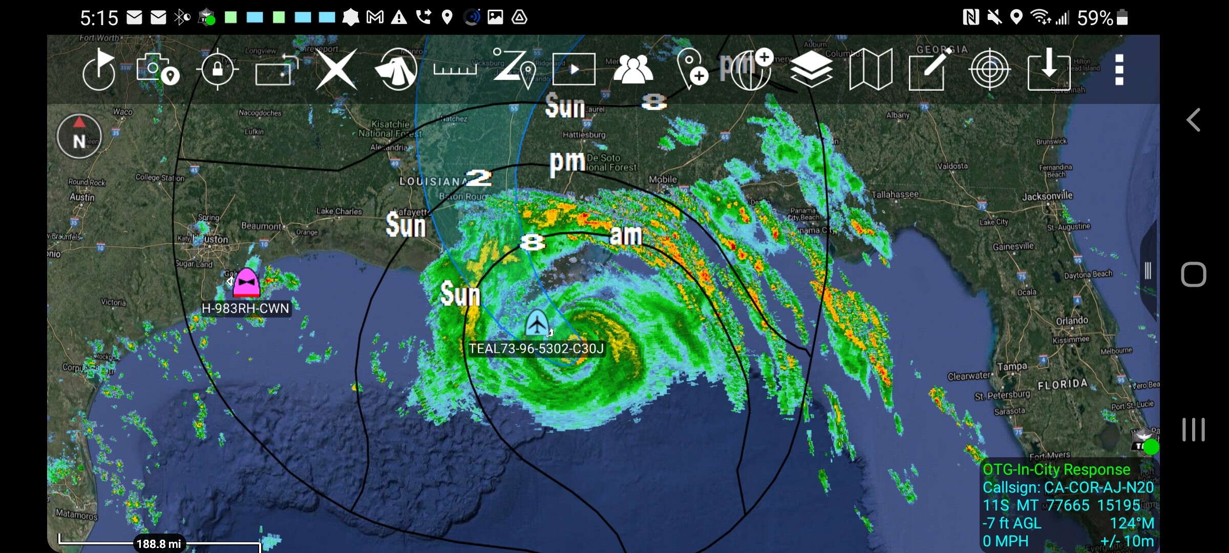
ATAK shot of day. Hurricane IDA making landfall. Thats the weather report plugin available on tak.gov with the radar turned on and a kmz for arrival of hurricae force winds and the model for the hurricane path. This data available from the NHC. NHC Data in GIS Formats
Just copy the link to the KMZ and put.it in ATAK as KML network link and it will auto update. Basically the same thing we do with FIRIS. Also check out Teal-73 a C-130 from the 53rd Weather Squadron almost in the eye!
So probably wont see any of you here because well the northern half of the state is on fire but if you do happen to be at the conference come check out my presentation.
For those wanting access to all the plugins before they are publicly available on the playstore (this takes some time) you must register with a government email account. If you register with anything else you just get the public release plugins. Sorry for any confusion.