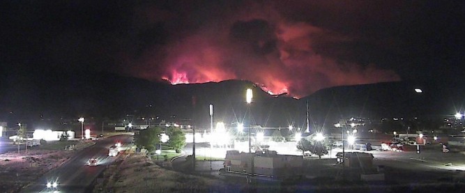
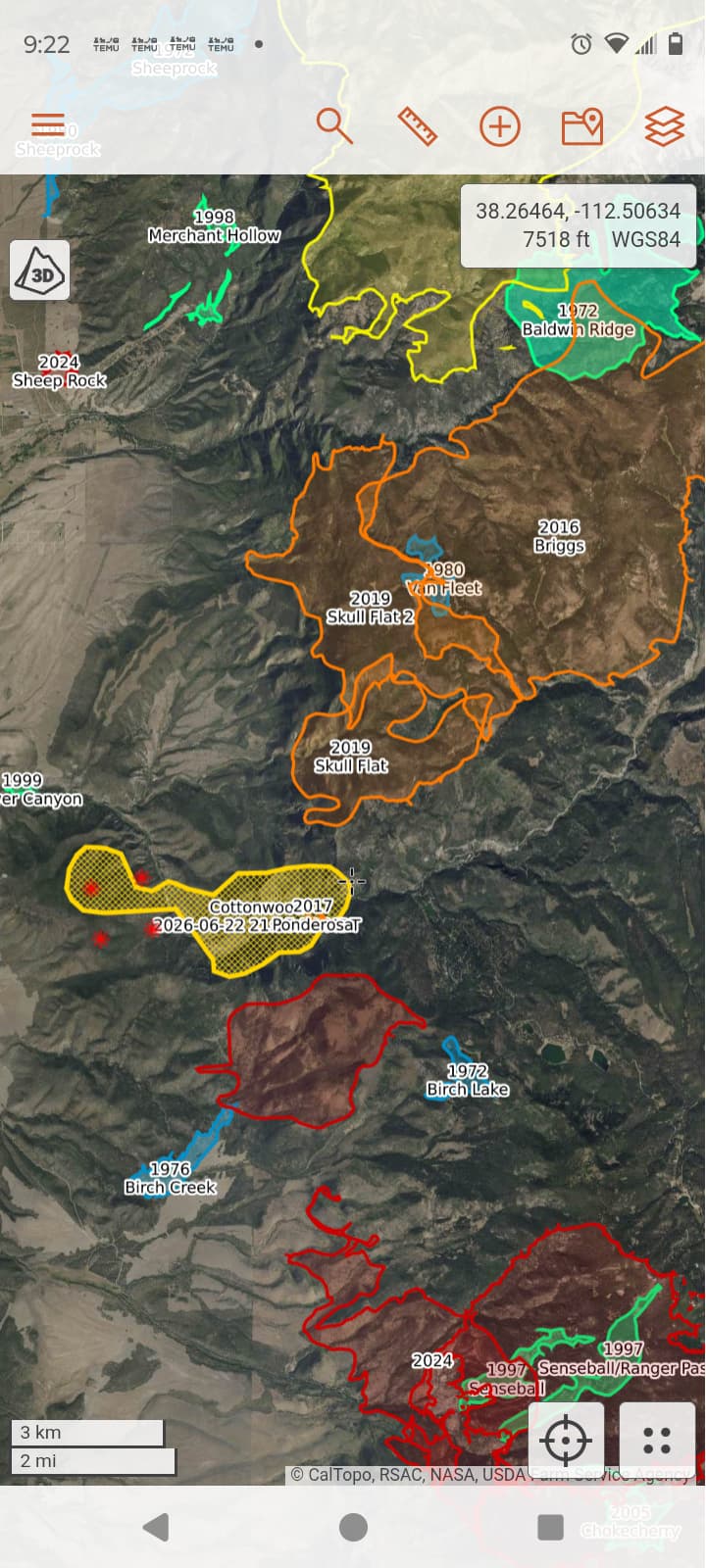
 Thats more than sporty++
The Fire Bucket in UT is getting full!
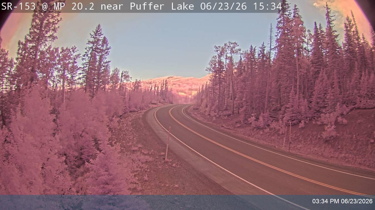
High possibility of seeing fire on this camera in next few hours.
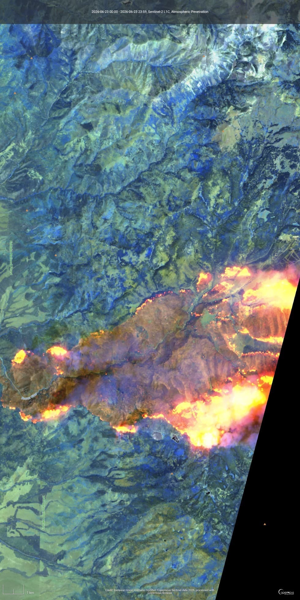
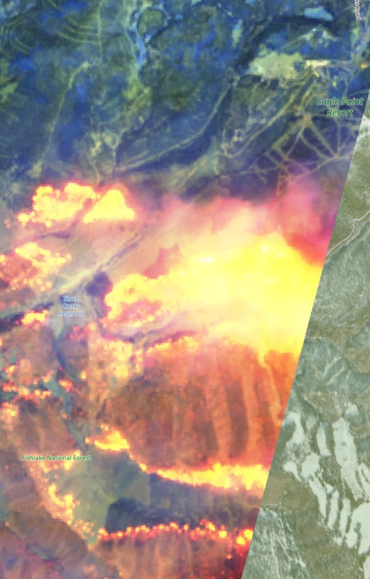
Cool satellite imagery!
Those images were captured at noon, today.
More here:
Per the most recent perimeter its almost to highway 89.
Not looking good for Eagle Point Ski Area. Any first hand knowledge?
I’m flight radar looking at Beaver to Hwy 89 and the only aircraft showing are commercial flying either N to S or E to W. Must be something in my settings, I can’t imagine a fire that size with no aircraft. Watchduty says 61137 ac now
There’s pictures of the lower lodge burning going around from a few news sources.
I’ve been checking flight trackers and I haven’t seen any aircraft either, but Inciweb has a picture of one of the DC-10’s dropping on the fire and the IMSR says 4 helicopters are assigned. I think its just a case of there being no flight tracker coverage at low elevations in the area.
No aircraft showing up on AFF ?
Local source (a cousin) from Marysvale says the fire is hung up on the east-side ridges. Also they haven’t seen any helicopters or airtankers working this afternoon?