Oops. It was indeed. Ought nine.
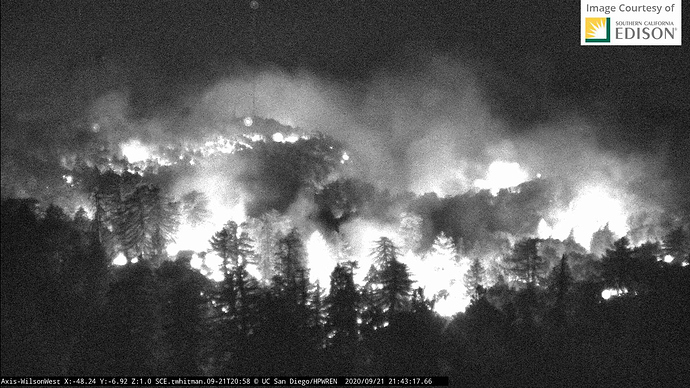
And now, once again, nothing is sacred. This fire has no boundaries. Big change. Now on the backside, where I was last week where PhosChek made the whole side of the hill red is now threatened.
https://abc7.com/bobcat-fire-threatening-mount-wilson/6491069/
106,169 acres & 13% contained.
Fire showing well on the Mtn High live video stream: https://www.mthigh.com/site/trails-and-conditions/conditions/livecams/chisholm/index.html/
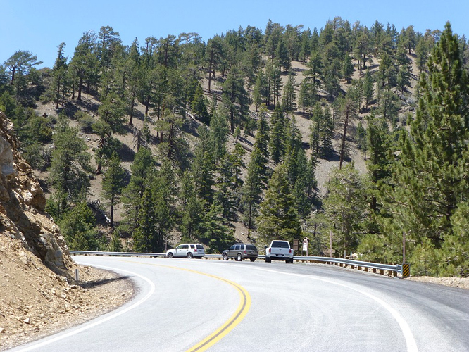
Hearing traffic that the fire hit the line ‘extremely hard’ @ Dawson Saddle and there is spot fires across the road, trying to pick it up but it is a 2 hour turn around time for water tenders
You have great knowledge of the area, what are you referring oh wise one?
109,271 acres and 17% contained.
112,053 acres and 17% contained
113,307 acres and 38% contained
113,986 acres, 50% contained (0600 hrs)
Bobcat Fire
Los Angeles County
Damage Inspections Dashboard
“Field damage inspection may be ongoing and subject to change. The data is subject to change as information is gathered and verified. The icons on the map indicate the current known status of the structure. If a structure is not identified by an icon, it has not yet been identified.”
Map link
https://www.arcgis.com/apps/webappviewer/index.html?id=60dfb52492b54a3ab53d353ff213521a
113,986 acres (no growth), 55% containment (up 5%)
Thank you for including the changes in acres and containment from your earlier post. I hope it catches on.
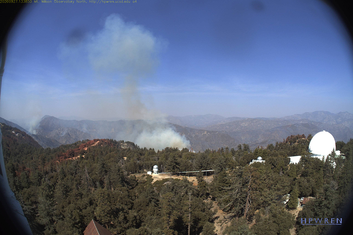
AA just flew over it. said that it is not doing much now, but has a lot of potential to come up and out towards the Mt. Wilson complex.
Looks like some activity with an east wind on it from Mt Emma cam. None of the other cams showing this side it seems
AA just requested 1 ASM, 1 VLAT, 3 LATs


