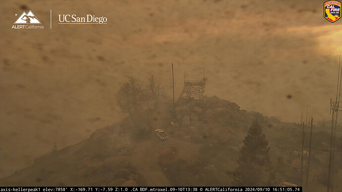
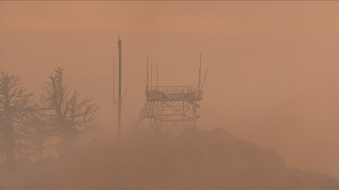
certain areas are always pixelated for privacy, I would assume the lookout was one of those places. If you look at other cameras, if they are near houses or other objects, they are pixelated for privacy reasons by the camera software.
It was not pixilated before the fire
As the picture clears, it appears as though you can see through the lookout. Like looking through windows.
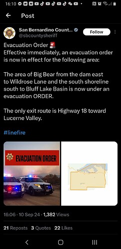
Mandatiry Evacs
https://x.com/sbcountysheriff/status/1833643231952966010?t=CV-zkYcXoC2wH-SSEUM7tQ&s=07
A picture is worth a thousand words
I remember picture of Strawberry Peak lookout on the Station fire. This reminds me of that.
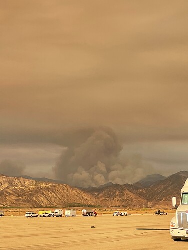
Wrightwood and lone pine canyon under mandatory evacuations, bridge fire now mapped at 38,000 acres,
Cal OES 2024 daily reimbursement rates for type 1 engine ST personnel (STL, STL(t) +15) looks like 19,217.09 daily, including time and a half and 10% admin cost. Add in 5 type 1 engines maths out to 42,115.13. This is for agencies that don’t claim actual costs.
Even doubling personnel costs gets nowhere near 100,000 per day. If I mathed wrong, please explain.
The answer is that actual costs are much higher if agencies file an OES salary survey. How many LG chiefs make only $34/hr? Plus… a Type 1 ST requires 4 per apparatus, not 3. And the admin rate is rarely only 10%.
XVE1550A Ventura County Op Area responding immediate need Code to Noble Park icp. Stung out along the 210 passing 605 and 57.
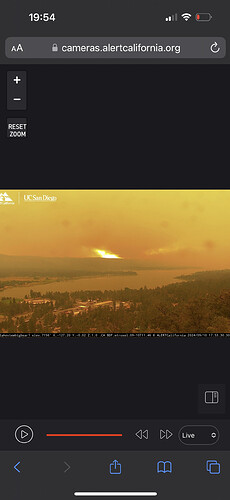
The Keller peak cam is showing multiple fingers burning up the east side of bear creek now

Task force headed down from NorCal. Noble creek ICP
Do you know what county? Just wondering
Mixed. 3 type I, 1 type 3, type 6. From Amador, San Joaquin, yolo, Calaveras.
Thank you was wondering if north ops was going to hold there resources but sounds like they’re starting to send them down
