Yes, it’s pretty difficult to get any good footage when the column is smashed down.
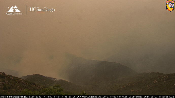
Looked like the valley got smoked out with the outflow winds. Looks to be clearing now
Live video from the ground: https://www.youtube.com/watch?v=zrziZWZNweA
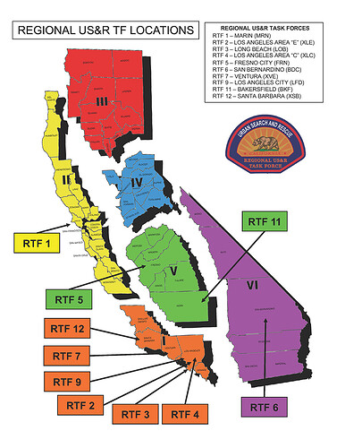
Region 1? LA, SLO, OC, and Ventura
Info from tonights 209
Still showing 7100 acres, sure it’s more
Critical Needs List
12 hours: 12 STA, 16 STC, 4 STF, 21 STG, 4 CRW2, 6 STL, 26 DOZ2, 22 W/T, 3 OPBD, 7 DIVS, 7 HEQB
Needs are the same for 24, 48 and 72 hrs.
Lots of the same info on evacs that’s been shown here.
He said OES so I was assuming CAL OES. My B
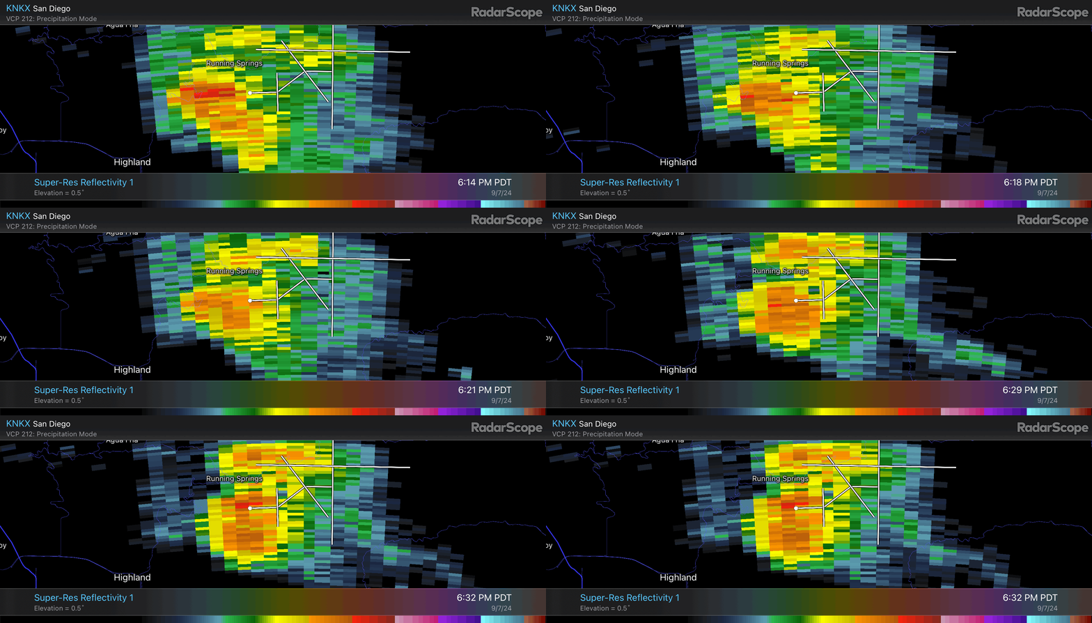
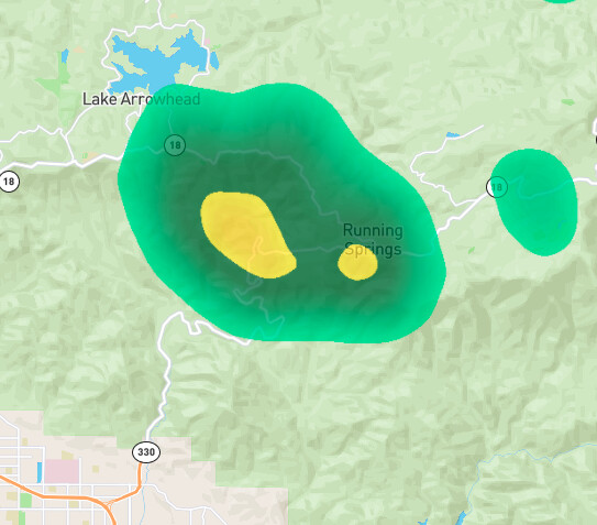
There is light rain falling in Running Springs and Arrowbear.
and Santa Barbara.
Judging from the fire activity the rain is actively falling over the fire and moderating fire behavior right now.
Confirmed here:
No, you are right. OES Region 1 is next to OES Region 6, where the Line Fire is. I’m sure these are all Immediate Need requests.
immediate need strike teams ordered to branch X, utilize hwy 18 or 38 due to 330 being compromised
XLC-1204A E15BRK, E25GLN, E26GLN, E105ARC, E71ALH, BC105ARC STEN punched out immediate need to Branch X (mountain top). Notes: “use hwy 38 or 18 as hwy 330 compromised”
Agreed @anvilhead . Running Springs cam showing a change in weather and visibility. ALERTCalifornia - Running Springs 2
2 OES Region 1 Type 1 STEN immediate need en-route
Any good scanner links?
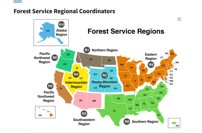
Thanks for posting the FS Regional map, I didn’t know how the feds broke it down across the country. The more you know . . .
Dr. Swain thinks it’s a temporary wind shift from outflow winds
