BCSO reports the death toll has risen to 23 with additional recovery teams on the way to the incident.
As of 7:00 pm Incident update, 105k acres and 20% contained.
Death toll has risen to 23 people.
Structures still reported at 6,453 residences, 260 commercial
Camp Fire on CalFIRE: http://www.fire.ca.gov/current_incidents/incidentdetails/Index/2277
Action New: https://www.actionnewsnow.com/content/news/CAL-FIRE-Butte-County--500045591.html
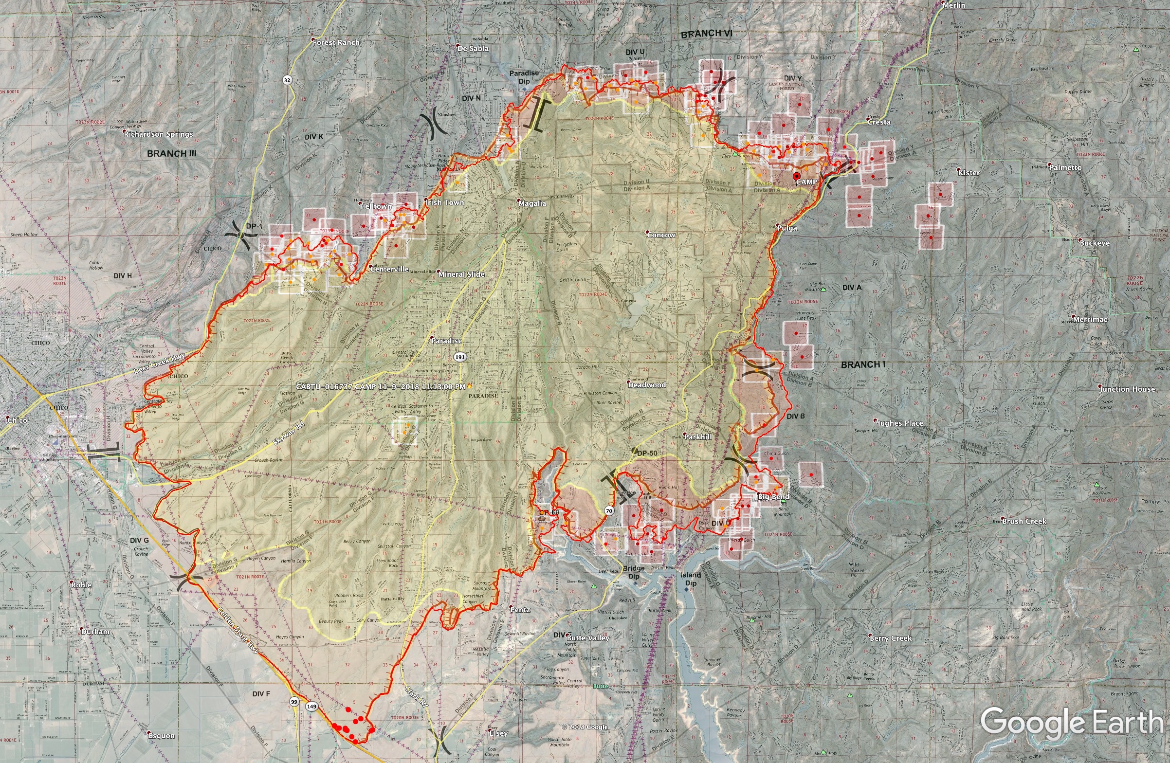
A quick evening summary of where the three areas of heat are going into this evening. Today’s Ops map superimposed onto Google Earth, with last night’s IR perimeter and MODIS/VIIRS data from about noon-1pm today showing where some heat is along the perimeter.
General overview
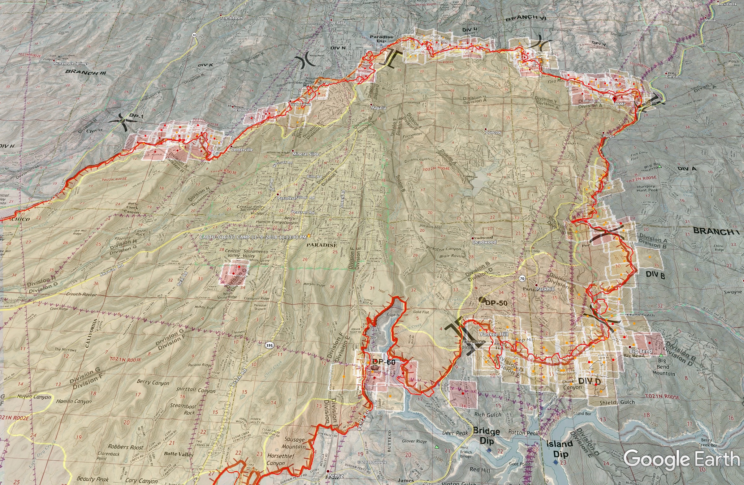
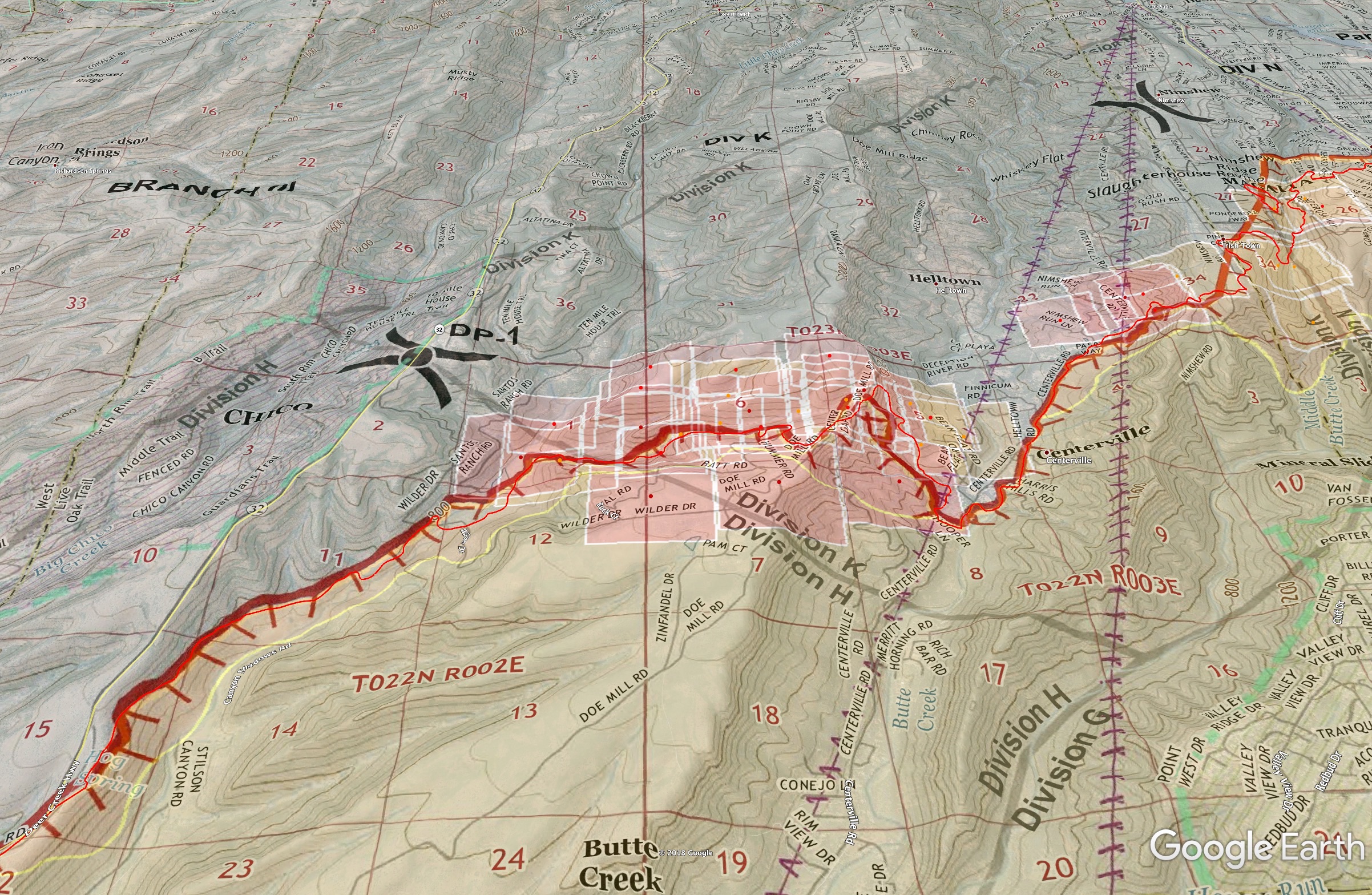
The slop over they are concerned about around Div K, Santos Ranch Road east of Hwy32. This area is showing up on GOES16 satellite heat as well.
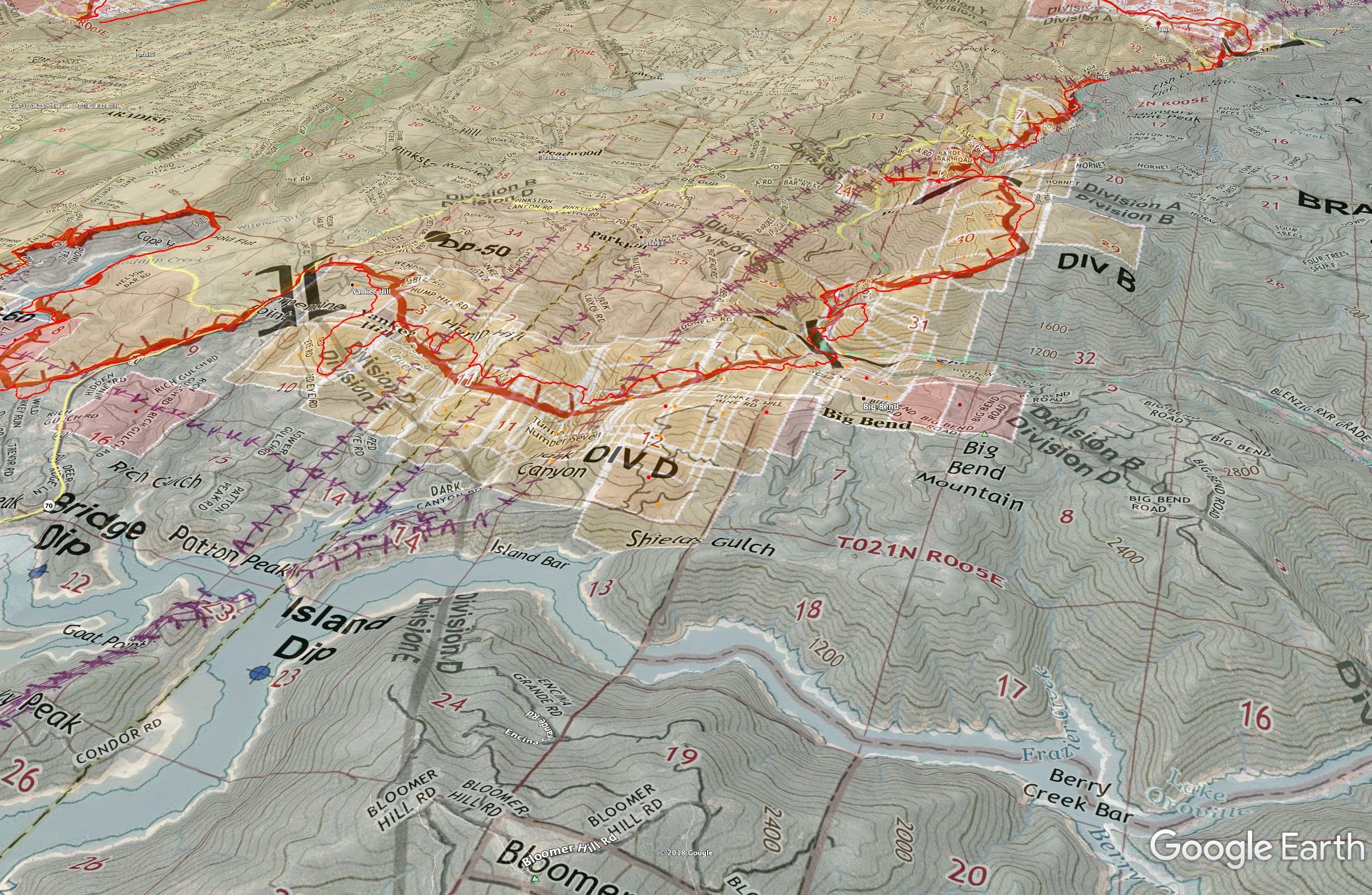
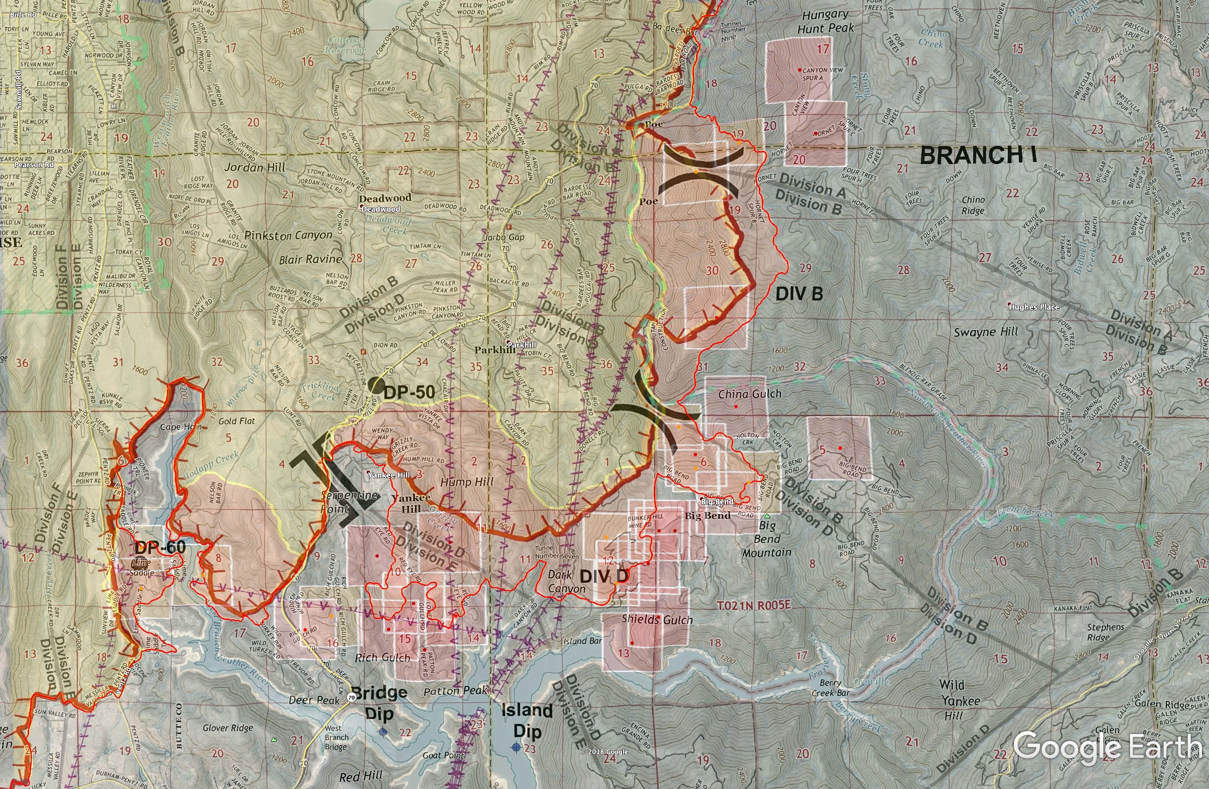
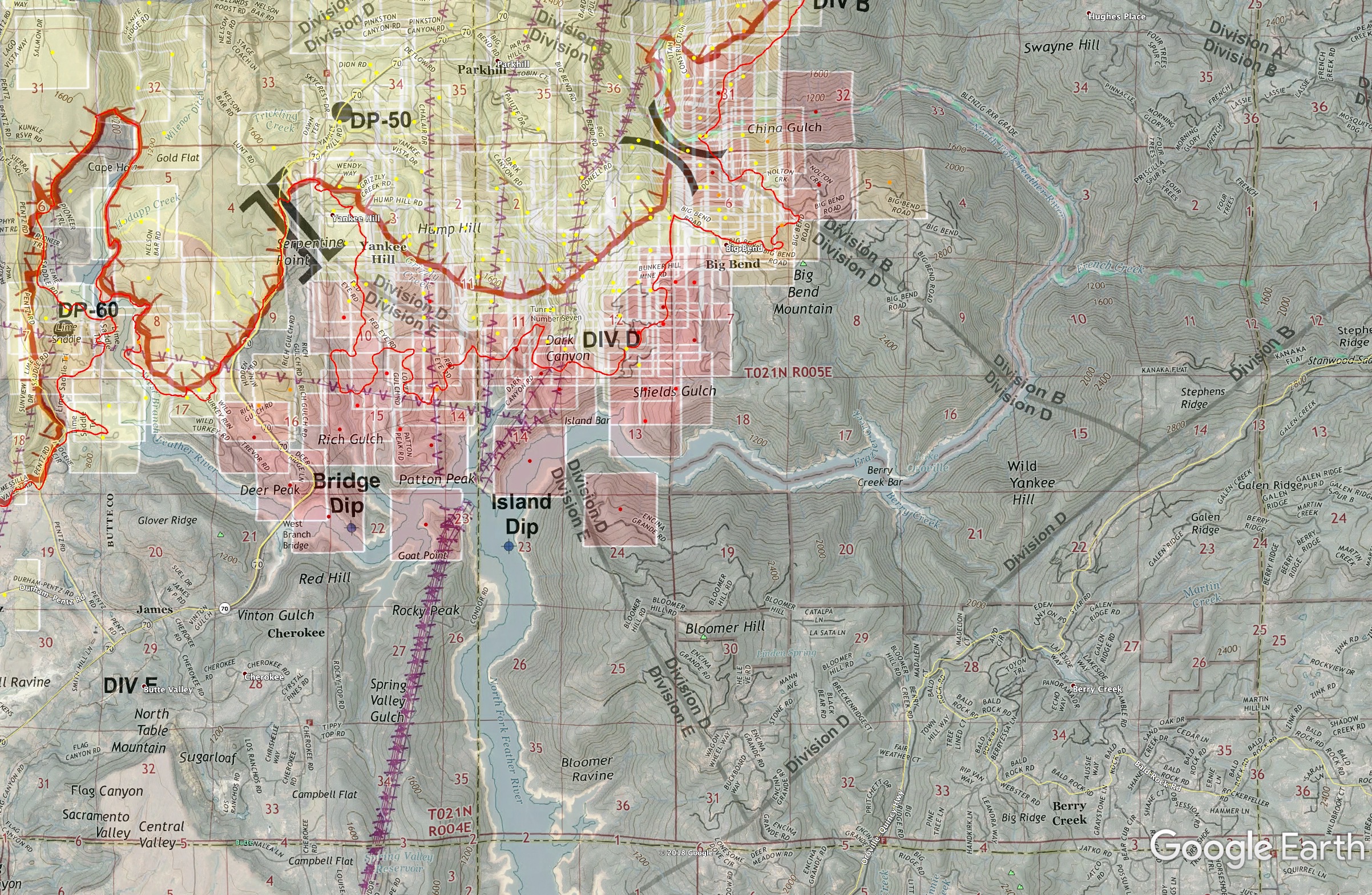
Div D - Big Bend and southeast portion of fire. This was ugly yesterday, and area of concern today into tonight. This area will pick up and run with the expected winds tonight aligned with the terrain out of the north. Point of view northwest over Bloomer Hill. If it crosses the river it will get into Bloomer (communications site and homes), and Oro-Quincy Hwy with Berry Creek and Brush Creek area. That MODIS hit near top of Big Bend Mountain was at 114pm with 95% confidence.
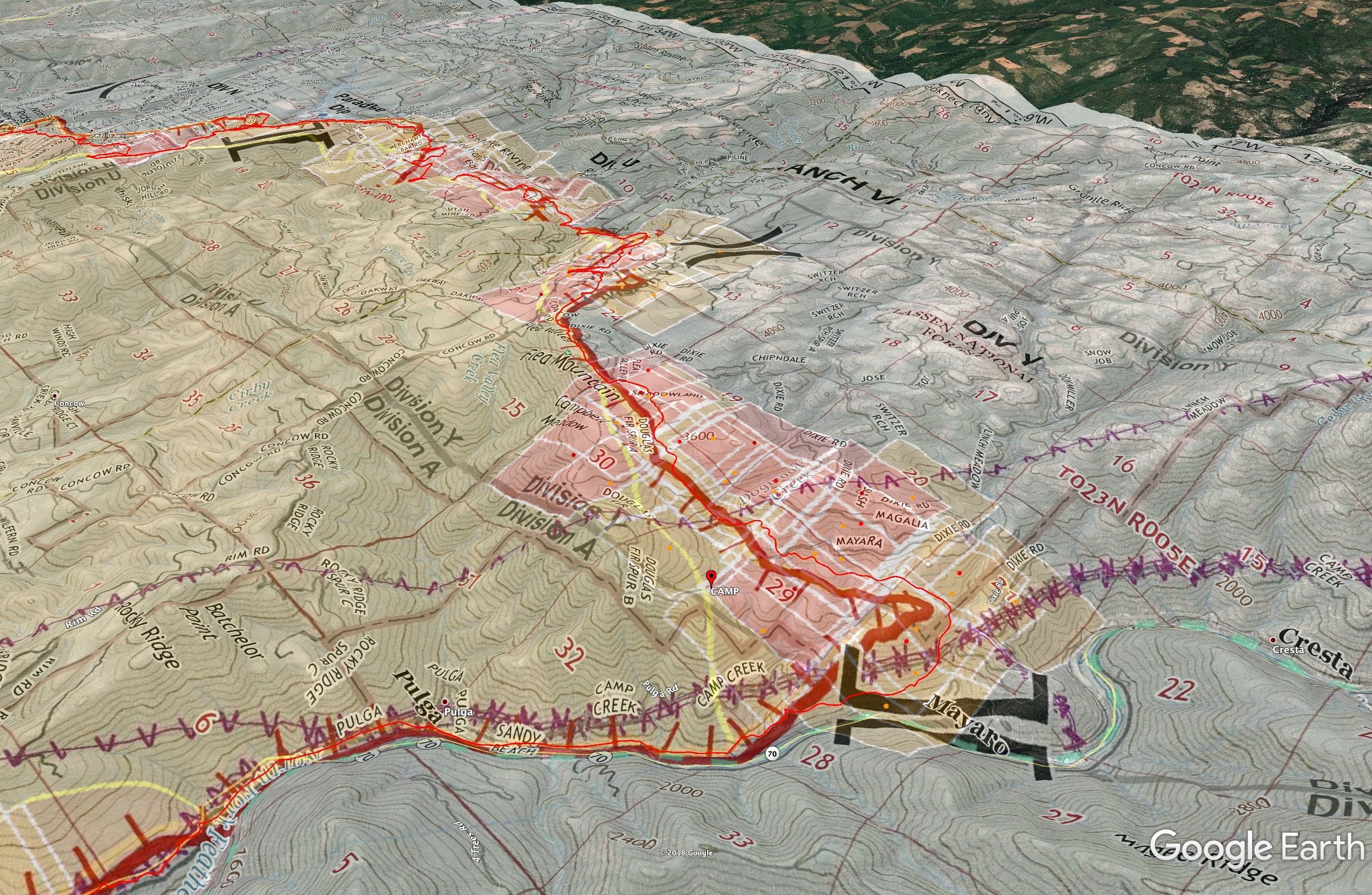
Looking NW across Branch 6 from Hwy 70 to Paradise Lake. Lots of heat here on the GOES16 satellite as well tonight. Good concern crossing the river with the winds expected tonight. Flea Mountain is directly in mid view here - communications site.
8 Likes
2315: Bloomer Hill reporting into IMET with 20mph gusts. Div U reporting 25mph gusts. The entirety of Branch 1 will be tested tonight through tomorrow. Bloomer is a critical communications site that is directly across the North Fork from the head in Div D.
Colby Mtn north of the fire at 6000ft showing ENE 21G44 with 25% RH. Directly across the valley from Colby at Eagle Peak seeing N26G38. So winds are definitely starting to funnel down into the valley. Branch 3 on the Hwy 32 side seeing lighter winds now, but after 5am should start seeing north winds sustained in the 20’s.
2 Likes
Spot fire on the south side of the Feather River near the powerhouse, 50-100 acres, rapid rate of spread upslope with high winds.
5 Likes
Try this link. I heard the coordinates and I believe it’s called the Cresta Power House.
https://www.google.com/maps/@39.8236959,-121.4286895,3353m/data=!3m1!1e3?hl=en&authuser=0
3 Likes
He definitely didbt say Poe…it was either cuesta or cresta…something along those lines
The Cresta for sure, upcanyon from Pulga.
1 Like
0715 update: Quick IR update and a view of the MODIS/VIIRS of the spot fire mentioned above near Cresta PH. This map product is yesterday’s Ops map (with Friday night’s perimeter on the map), put onto Google Earth. Ignore that perimeter, I have last night’s IR perimeter, flown at 910pm last night, in the bright thin red line. MODIS/VIIRS satelite hits are last 24hrs, with passes roughly 1-2am this morning.
Overview
Here’s the blowout near Cresta Powerhouse. It doesn’t bode well for the Oro-Quincy Highway. Those MODIS hits out there are all 100% confidence at 247am this morning.
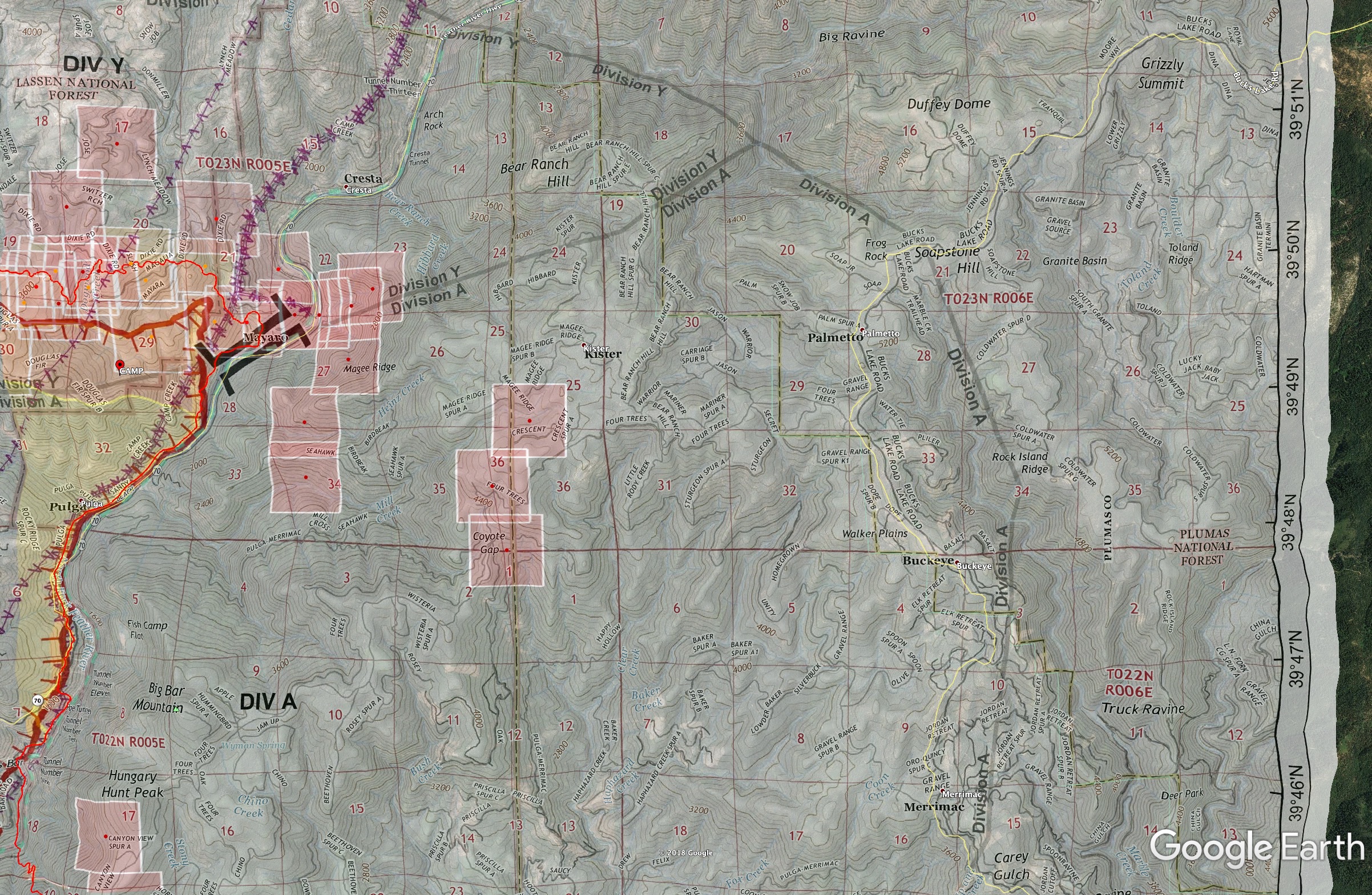
Big Bend Area - looks like as of 1-2am MODIS hits it is still inside the bend, but has definitely been working around the Big Bend Mtn itself.
IR Interpreters notes accompanying last night’s IR flight data:
Very minimal heat perimeter growth occurred compared to previous day. The heat perimeter continues to progress north and has passed Dogwood Creek near Hwy 70, has reached the Fall Creek Drainage, and continues to progress toward East China Point. Intense heat is present all along the northern edge of the heat perimeter. The heat perimeter continues to progress east towards Big Bend Mountain, with intense heat present along the edge. A pocket of Scattered heat remains near Hwy 149 and Dry Creek, with a pocket of intense heat still present southeast of the Durham Pentz Road and Clark Road intersection. Pockets of intense heat are present near Doe Mill and Nimshew Ridge, with continued perimeter occurring. The heat perimeter still remains to the east of Hwy 32. Intense heat is present near Paradise Lake and has cross Little Butte Creek and is beginning to encroach on residential areas near Rosewood Drive and Woodward Drive. A significant amount of scattered heat remains throughout the interior of the heat perimeter.
9 Likes
Sunday 11/11 0600hrs 209 Info:
109,000 Acres @ 25% Containment
Residences Destroyed - 6,453
Commercial Property Destroyed - 260
Sadly, Fatalities Increased to 23
Critical Resources Needed:
4 - Alpha Strike Teams
4 - Charlie Strike Teams
1- OPBD
8-DIVS
6-HEQB
Total Personnel Assigned - 4,050
Remarks: CALFIRE IMT4 will enter Unified Command with USFS IC Griffin
0930: Great news Air Attack and Helco are up and was able to sneak 4 heavy copters up out of Oroville Helibase through limited visibility and will be working Divs D big bend, Y cresta, N magalia and K doe mill ridge. Those are the only spots they can get in with the smoke at the moment.
Sounds like they’ll get fixed wing to work the entire Branch 1 piece and what blew out early this morning. AA was telling Lead plane in briefing that if they don’t keep up and catch the blow out, it will outflank Lake Oroville to the south.
AA, Lead, and Ops Manager in a copter will be discussing their plan over Branch 1 here shortly 10-1030am
edit: I’m off intel until around 130pm
10 Likes
AA ordering 2 VLATs and 5 Type-1 Tankers.
2 Likes
VLATs 912 & 944 just departed heading north from McClellen at 12:34 pm.
Spot fire across Lake Oroville on Goat Point, Div D. From the latest satellite pass, looks like its making a good run to the east in Div A as well.
3 Likes
Thanks @fishcop, did you hear any ground truth to the spot at Goat Point, or just the MODIS hit? The confidence on those hits are high but not 100%. It’s a pretty significant ravine in there at the lake and MODIS can catch reflected heat off the opposite wall of the ravine.
That spot at Encina Grande Rd below Bloomer is significant as well, but only at 70% confidence.
I heard it was reported by a park ranger
1 Like
@norcalscan, that was overheard on the scanner, sounded like someone who was “boots on the ground” had eyes on it. The MODIS hit seems to confirm it.
Edit: Just confirmed by Div D
2nd Edit: Jumped the gun, Div D is reporting a separate spot across the lake from the spot on Goat Point. Scanner is very scratchy, but I believe that’s what he stated.
Update: First spot is confirmed by helicopter at 150 acres, still contained to the peninsula. Still trying to determine if there is a 2nd spot.
4 Likes
That’s what I heard too.
2 Likes
Quick Look into the Feather River Canyon activity last night. There were areas receiving 50+ mph an hour winds, strong enough in spots to hold the truck’s door closed.
4 Likes
1545 update: Getting ground reports with air confirmation and MODIS that it’s spotted onto the Bloomer side around Section 13 on the Ops map. Going to try and work with two copters to keep it in check while they get ground resources in there. They’ll get the tankers working up near the top near the communications site.
The Goat Point spots appear to have had the attention of the copter on the peninsula with all the high tension power lines and Rocky peak, but then either got smoked out or moved to Bridge Dip area. All the focus has moved to the Bloomer side now.
3 Likes