Don’t have anything new. Will do it when I get an update.
278,227 acres and 35% containment per Cal Fire.
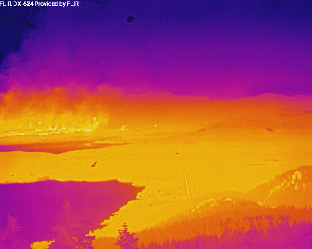
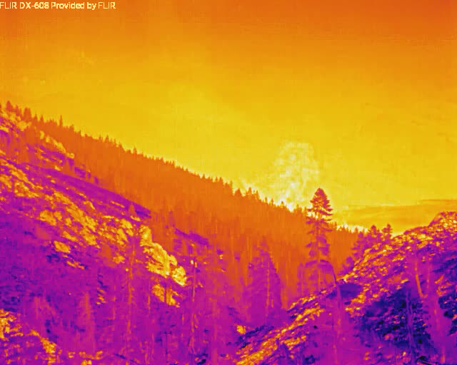
You probably already saw it, but looks like new IR data from 1850 is posted:
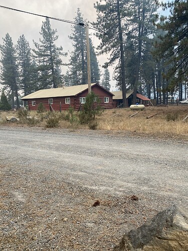
Bad enough that Cedar Chalet is gone; if you can, could you possibly ask if the red log house next to the Forest Service made it? I’m guessing my office survived, but I’m now fifty miles away in Standish.
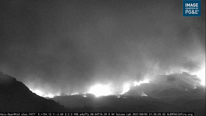
We stopped it right there
Thanks, that’s my uncle’s hunting/fishing cabin. My mother’s pretty relieved to see this picture - we put a lot of work into that place when my uncle bought it seven years ago.
Today was a really bad day in the Upper Feather River. About as bad as a day can get for most of us. There is a lot of bad news, and some hopeful news, too. I just posted IR maps from this evening’s overflights: Dixie Fire – 8/4/2021 – Evening – The Lookout
Does that mean all of Hot Springs Road survived? My home is towards the end on the side closer to the rail road tracks. It would mean so much if anyone could give me some info on it.
Any info on or idea on how to get info on the status of the feather river and willow creek homesites? It’s 50 or so forest service lease cabins NW of Chester, near Warner valley.
God Bless you for the work you do. Prayers for all. Be Safe SA
More evacs and warnings just issued:
Lassen County Sheriff’s Office
16 mins ·
PUBLIC NOTICE 8/4/2021 9pm
DIXIE FIRE EVACUATION ORDERS AND WARNINGS
Mandatory Evacuation Orders have been issued for the following areas:
• The area south of Hwy 44 from the Lassen County line east to A21 including Silver Lake, Juniper Lake, and the Caribou Wilderness Area -Zone LAS-E031
• The unpopulated area south of Mountain Meadows Reservoir from Hamilton Branch waterway east to the Lassen/Plumas County line. Zone LAS-E019.
Evacuation Warnings have been issued for the following areas:
• Westwood and Pine Town area south of Hwy 36 from the Westwood Landfill Rd. east to Moonlight Ranch Rd. zone LAS-E023
• Clear Creek, south of Hwy 36 from the Lassen County line east to the Westwood Landfill “haul road”. Zone LAS-E020
The emergency alert zone map can be accessed at this link: https://community.zonehaven.com/?latlon=40.24225707357189,-120.94421317813146&z=11.290092824389829&selected=LAS-E019
PNF responding a Task Force to hwy. 89 and Stamply (contingency) immediate need:
2 hand crews, 3 engines, 1 dozer, 1 water tender
From scanner feed.
I’m looking at a caltopo map with heat sources and it’s not yet to the homesites that I can tell.
Its very close to or in warner valley, it was at high bridge around 6:30ish
Yes. I agree. Day of days
Late this afternoon a helicopter is headed back to Dixie with the River Fire smoke in the background. It is just so dangerous out there now. It takes so little time for fires to get going.
I saw someone smoking about 5 feet from tinder dry brush today in 30mph wind -they were on pavement but…


