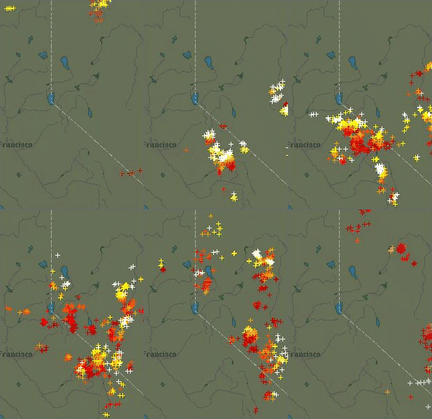
Part of most recent 12 hour lightning history, file size prevents me from uploading full 12 hours. 
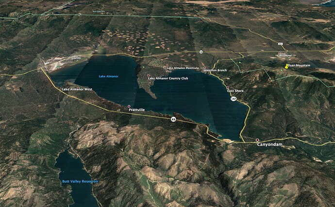
The west side of the lake has had a lot of thinning around Chester, is flat, pretty low-risk. The East Shore is exposed to the sun and afternoon winds, has some really thick forests. But the prevailing winds would push the fire more toward the east of Dyer Mtn, not toward Hamilton Branch or the Peninsula.
The chips scar is nasty with dead and down along with copious amounts of brush.
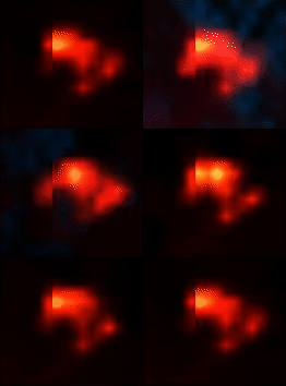
SE movement seems to have taken a big hit from all the work they did on it today:

Good paper, although I feel like they missed a great opportunity to study the effects of salvage logging, reforestation, and subsequent brush and stocking control on the private lands that were planted after the Storrie fire and were literally burned around during the Chips (with some modest loss on the edges as the fire came off the feds).
Yeah it is thick and nasty. But so was the Storrie Burn, when it burned in 2012, and we didn’t see very major runs in a lot of it, mainly due to the broken topography, I think, so it is hard to say if that’ll increase rates of spread beyond what we saw in Chips.
Any word on if/where second camp would be?
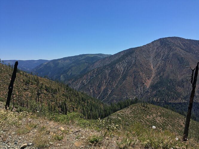
Here’s a quick picture I took last summer of Red Hill looking north-ish up the canyon towards Caribou (not actually a town, but a PG&E powerhouse), which is where the current spotting is. The burned trees are from the Chips Fire, this spot used to be very heavily forested:
(I have a few hundred more pictures of that general area, but they aren’t relevant … yet).
Region 5 Type 3 ST leaving at 0100.
A few years ago, 2014 I think, there were no hand crews available nationally. Teams were instructed to order engine ST’s and tool them out. I did a lot of line construction on the Rough fire on an STC.
That year, I did some handcrew work on an Alpha ST! It was tool up and get shuttled up to the line for your 24!
@resQdave you can go to https://tiny.cc/calfireimt1 you can substitute the number 1 for any of the 6 Cal Fire teams and get their iap/maps etc.
I thought FEDS can’t travel after 2200 unless immediate need!?
OES ST 6840A leaving San Diego this morning and in route to the Dixie.
“Region 5 ST” in this case most likely refers to a LG ST from the southern Central valley area, not a Fed ST. Fed ST are almost always referred to by their owning Forest, within California.
OES Region 5 is Central California, basically Fresno area
XLC1205A (ALH E71, ARC E105, MPK E61, MRV E101, SNM E91, STEN GLN BC2, STEN-T PAS BC3) just got punched out for Immediate Need.
There’s a lot of things you’re not supposed to do that you make exceptions for depending on how close you are/ special circumstances.
Wonder if any of those 28 dozers for the fed mission will actually be “fed dozers”?
Anyone know how much of that ST order got filled over night?

