Wise is measured in the eye of the beholder, so let’s call it a draw for now, but watch out I might finish strong. Ha. I think we’re seeing a firing operation. One possibility for the multiple flashes could be from very pistols.
Yes Ma’am I stand Corrected 

Firing ops are taking place in the east and west zones.
Quail Ridge is showing all smoke cleared out of Quincy area at 6 am.
http://www.alertwildfire.org/shastamodoc/index.html?camera=Axis-QuailRidge1&v=fd40728
Got just enough rain at S end Lake Davis to slightly dampen the deck. Mother Nature is being a bit stingy with all the moisture in the air.
Chopper that went over a few minutes ago headed out to the fight.
Human interest story regarding a strike team… Mods, move or delete as appropriate 
https://www.sacbee.com/news/california/article253043643.html
Light rain in Quincy…
Big increase of air traffic in the last half hour on Quincy side of hough. Very smoky conditions, surprised their flying?
To be more specific it’s 3AC, going back and forth rather immediately
I am having the same issues with flight radar. You can be warching a copter ot tanker and they just disapear.
I wish. They’ve been going back and forth, back and forth. Seems like they might be filling up somewhere then flying right back out.
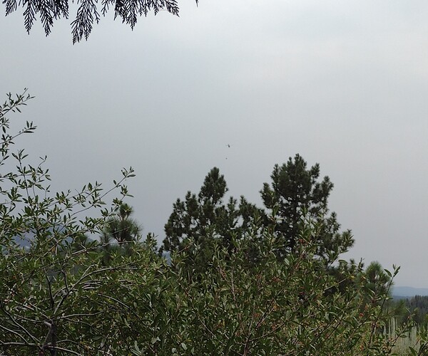
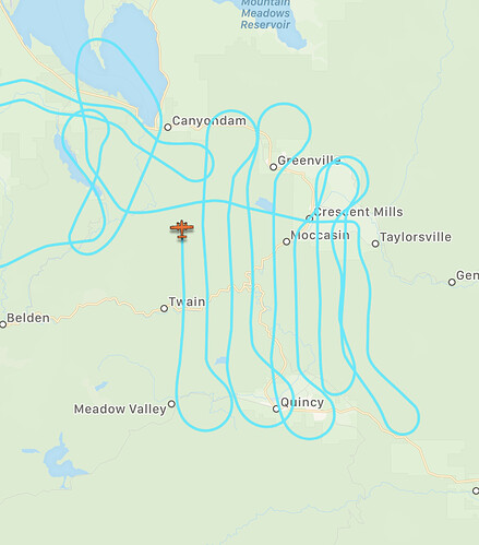
I must be seeing something else…I was looking at the plane from the photo above
I believe I saw that plane tho earlier, flying very high. This helicopter is low and going fast back and forth. Thanks for the mapping tho!
Well, getting back and forth quickly hopefully means they’re getting enough water on it!
A tremendous effort by all!
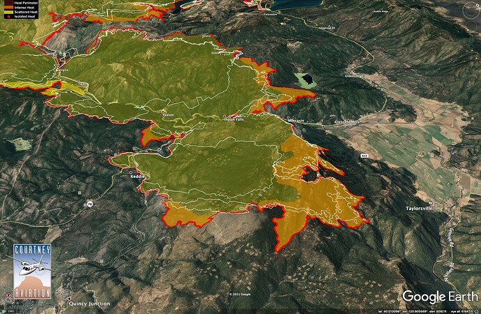
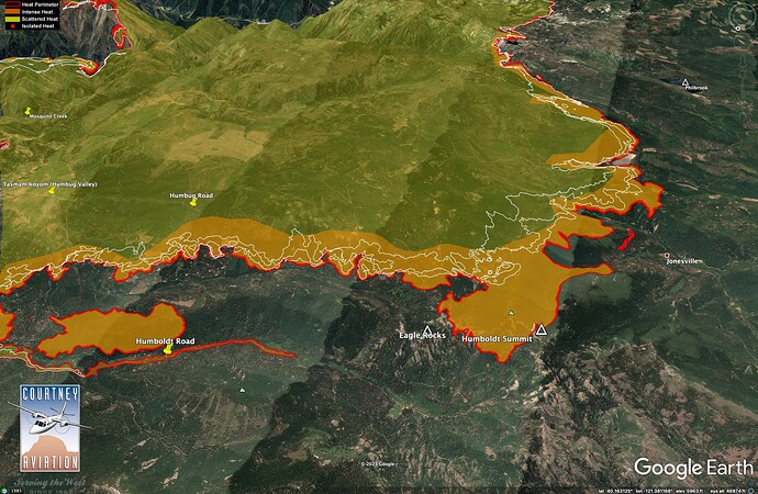
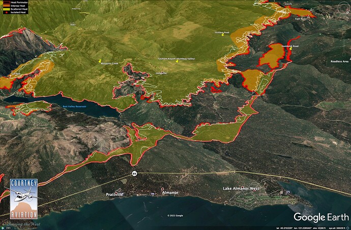
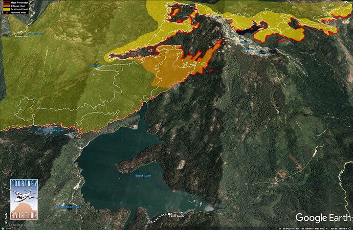
It’s very common for the helo’s to not show up on radar because they operate low level and most times it’s below where radar can pick them up. And yes that fixed wing looks to be mapping the fire.
Per Facebook post at 2:45pm (I can provide page, if desired)
" N109Z just arrived and is focusing on an area northeast of Bucks Lake.

