Due to some people being unable to be professional and mature, this thread will be locked for the night.
The winds are really starting to pick back up again from the SSW in a way they haven’t in more than a week.
They are putting alot of resources in place to catch anything that cross’s the line. There was a bit of concern about from Dennis burns this morning.
Can anyone confirm what Division has the spot fires? L, J, O, or R? Or all four?
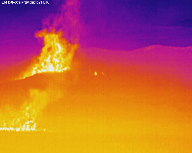
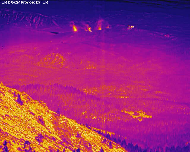
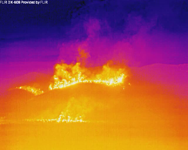
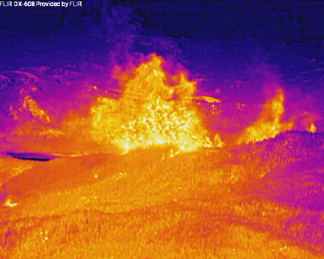
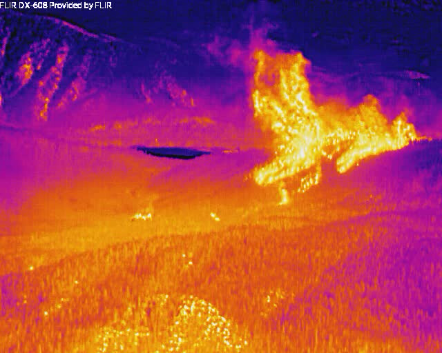
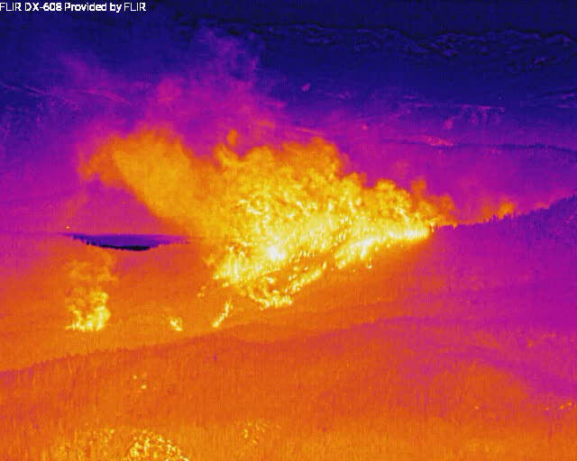
Well across the road in two spots in Div Lima. Don’t know about elsewhere. See Jim Higgins’ FLIR image in Dixie Q&D. This is a really big deal.
Are any of the online scanners picking up the fire ?
It is a bit messy w/ weather broadcasts & traffic from other areas but air traffic can be heard here: Lassen County Fire & EMS Live Audio Feed
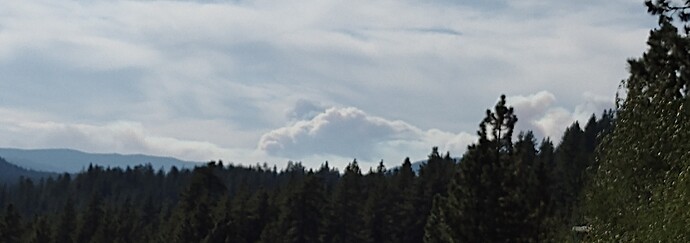
Dang. That spot really took off quick.
Sorry if I missed the thread/post, if this info has been posted already. but I’m curious where those cameras are located and what direction they’re looking?
Or if it’s it drone/heli?
dyer mountain looking to the south southeast.
Is the east Quincy cam picking up a new smoke in the 15 min loop or is that in the burn ?
http://www.alertwildfire.org/shastamodoc/index.html?camera=Axis-EastQuincy&v=fd40730
Tough ol’ Indian Ridge cam:
http://www.alertwildfire.org/shastamodoc/index.html?camera=Axis-IndianRidge&v=fd40731

